FOUND: 39 Maps From the Mid-1800s That ‘Show Chicago Being Born’
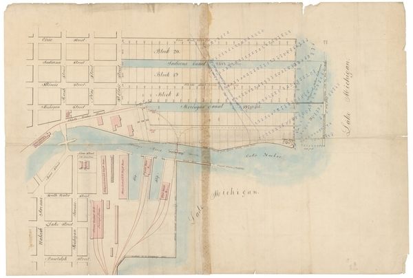
One of these proposed canals was never built (Image: Harlan J. Berk, Ltd.)
In 1833, when the town of Chicago was first organized, it had a population of 200 and all the potential in the world. Early on, an investor named Charles Butler started buying up land in the area and sent his brother-in-law, William B. Ogden, to do the actual work of developing it into city lots.
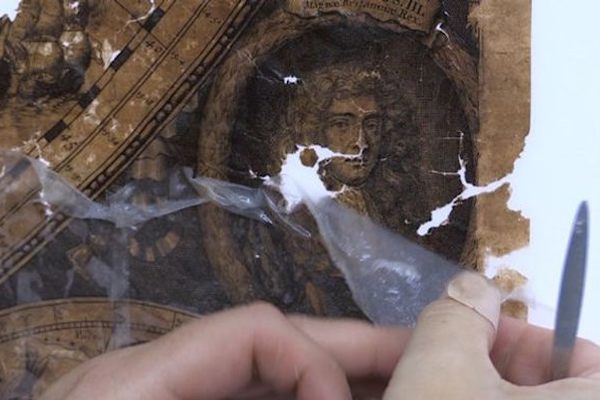
As he worked, Ogden, who would become Chicago’s first mayor, needed maps of the quickly growing settlement—which became a city as of 1837. Today, there are few maps of Chicago’s early days, since so many were destroyed in the Great Chicago Fire of 1871. But recently, at an estate sale in the city’s suburbs, a map collector found a collection of 39 maps connected to Ogden, including one that Crain’s Chicago reports is “possibly the oldest surviving map of the fledgling city.”
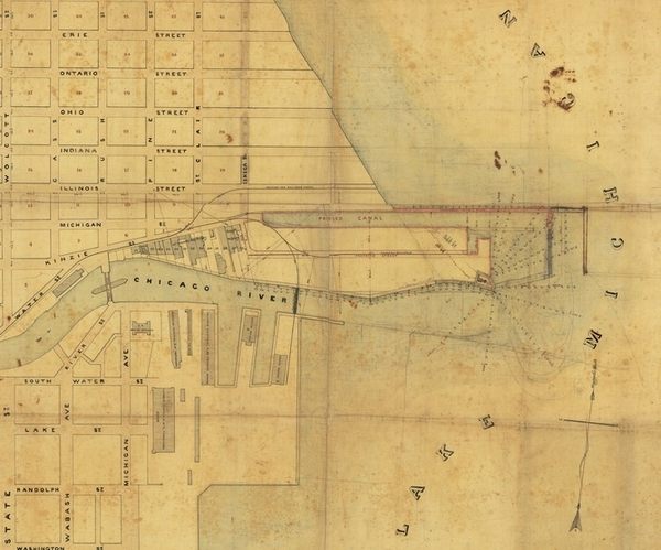
Chicago, circa 1860s (Image: Harlan J. Berk, Ltd.)
The maps date back to the 1830s, and detail the city’s expansion and development as an industrial shipping city. Sammy Berk, head of the maps division at local rare coin dealership Harlan J. Berk Ltd, said the maps “show Chicago being born.” There’s one that shows the first subdivision added to Chicago, a place called Wabonsia, just west of the Chicago river’s north branch. There are maps laying out blocks and parks that are still there today. Other maps show canals that were never built—and canals that were.
The collection is now in the hands of Harlan J. Berk, Ltd., and will be displayed at the Chicago International Map Fair on October 23-25. The maps are also available for purchase to anyone who has hundreds of thousands of dollars to spend and is willing to keep the collection together.
Bonus finds: A cat that just used one of its nine lives to survive being shot through the chest with an arrow, one really stoned man
Every day, we highlight one newly lost or found object, curiosity or wonder. Discover something unusual or amazing? Tell us about it! Send your finds to sarah.laskow@atlasobscura.com.


Follow us on Twitter to get the latest on the world's hidden wonders.
Like us on Facebook to get the latest on the world's hidden wonders.
Follow us on Twitter Like us on Facebook