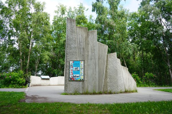
1906 Earthquake Fence
'Cause the fence start shaking, the earth was quaking.


At 5:13 am on April 18, 1906 the San Andreas fault slipped, creating an earthquake that famously set San Francisco ablaze.
The Richter scale had not yet been invented at the time of the quake, but more recent estimates put it at a 7.9 or 8.0. The earth literally rifted apart for 300 miles from San Juan Bautista to Mendocino, California, and though the epicenter had been near the Bay, tremors were felt as far north as Coos Bay, Oregon. In response to the widespread destruction, teams of scientists explored California’s geography in search of its cause.
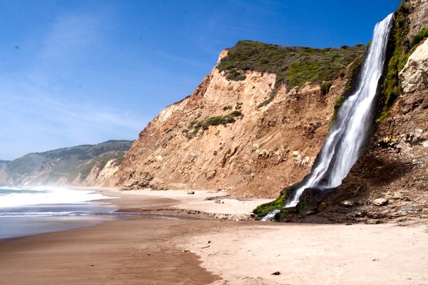
These geologists found some of the most prominent evidence from the quake in the area now known as Point Reyes National Seashore. Directly beneath this coastline runs the San Andreas Fault. The scientists who scoured this area found that the west side of the crack left in the earth was feet higher than that of the right, and had shifted dramatically to the northwest.
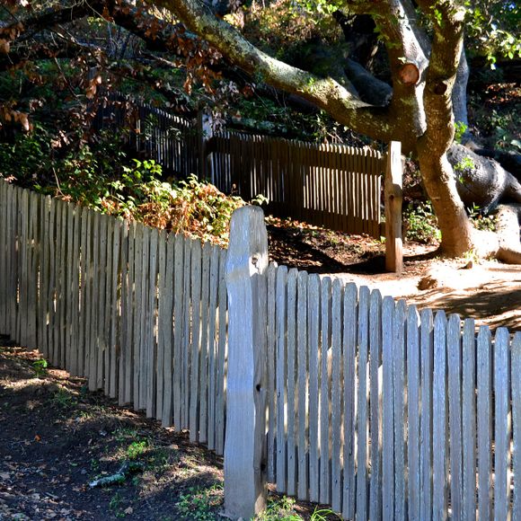
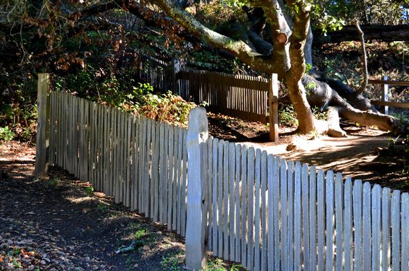
Contemporary visitors to the park can walk the half-mile “Earthquake Trail” from the Bear Valley Visitor Center to the famous Earthquake Fence. While it may seem like a drunkard originally plotted the fence, prior to the quake it had actually been one continuous stretch of pickets. Along the hike, you cross the epicenter of the quake. Today, there is a 20-foot gap between two sections, separated in the blink of an eye when 270 miles of the Pacific Tectonic Plate slid northwest.
Know Before You Go
Follow Highway 1, either northbound or southbound and access the park via Sir Francis Drake Boulevard or the Point Reyes/Petaluma Road.
Community Contributors


Plan Your Trip
The Atlas Obscura Podcast is Back!


Follow us on Twitter to get the latest on the world's hidden wonders.
Like us on Facebook to get the latest on the world's hidden wonders.
Follow us on Twitter Like us on Facebook