Loyalist St. Andrews
A small Canadian town founded as a refuge for Loyalists following American Independence.


When the United States of America became independent from British rule, many were ecstatic. That “many” did not include the colonists who remained loyal to the British Crown. Finding themselves on the losing side of the war, these Loyalists felt out of place and unwelcome in the newly founded union, and looked for a place of refuge. That place turned out to be America’s friendly upstairs neighbor.
The town of Saint Andrews in New Brunswick, Canada was established in 1783 when approximately 14,000 Loyalists fled across the Maine border facing the awkward outcome of the American Revolution. Many of the original houses in town were brought piece by piece from Castine, Maine, by boat or barge down the St. Croix River, and rebuilt to be occupied by the newfound Canadians.
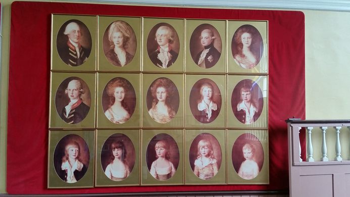
The original town of St. Andrews was planned as a small grid with plots designated for what were dubbed United Empire Loyalist families. Thirteen of the streets were (and still are) named after the many children of King George III and his wife, Charlotte, who also lends her name to Charlotte County, New Brunswick, where St. Andrews is located.
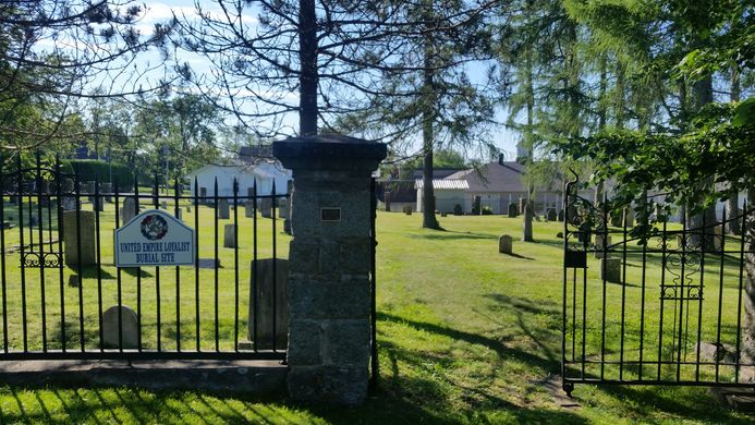
The history of the Loyalist presence is strong even today. The Loyalist Cemetery, with graves dating back to the establishment of the town, has a prime location in town at the corner of King Street and Prince of Wales Street a few blocks from the Anglican Church.
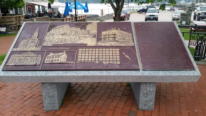
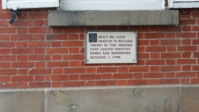
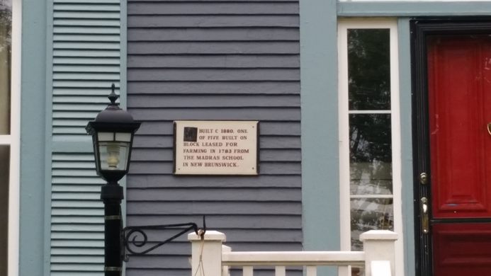
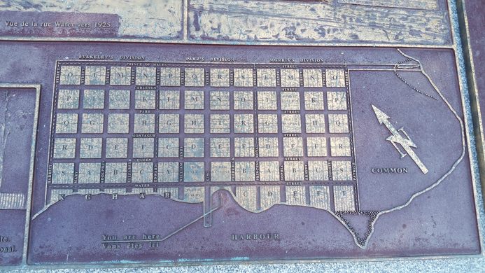
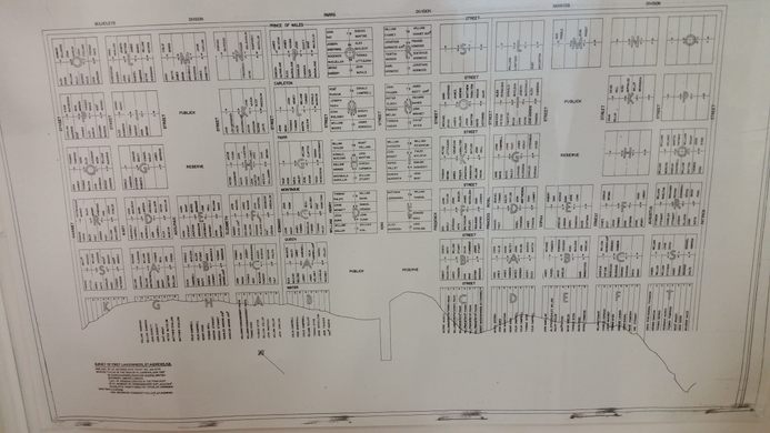
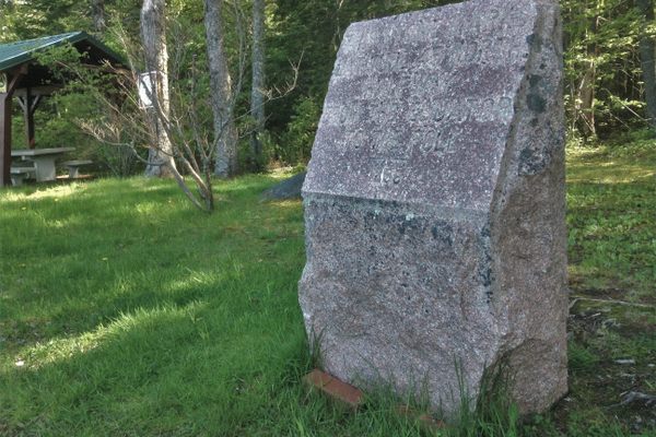
Of course, there have been changes to St. Andrews over the years, such as designating many of the buildings on Water Street as commercial property, and the building of a large defensive blockhouse during the War of 1812. But most of the original grid and street names remain the same as they were when the town was established. The town has been designated a Canadian National Historic District, and many of the homes and buildings in town are marked with descriptive plaques describing their history and architecture. A large bronze plaque in town square describes not only the original street layout, but also some of the specific historic buildings. A more detailed representation can be found in the Charlotte County Archives building on Frederick Street.
Know Before You Go
The coordinates point to the historical plaque in Market Square on Water Street.


Plan Your Trip
The Atlas Obscura Podcast is Back!


Follow us on Twitter to get the latest on the world's hidden wonders.
Like us on Facebook to get the latest on the world's hidden wonders.
Follow us on Twitter Like us on Facebook