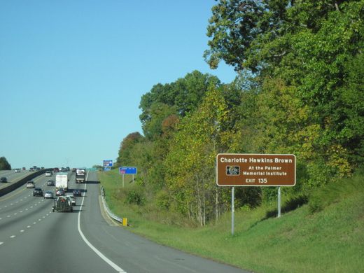
North Carolina's 12th Congressional District
Formerly the most gerrymandered district in the U.S., it twisted and turned along racial borders.

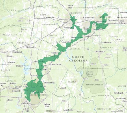
Gerrymandering has long played a worrisome role in U.S. elections, and North Carolina’s awkwardly shaped 12th Congressional District was the epitome of the problem. Dubbed the most gerrymandered district in the nation, it was until recently positioned entirely vertically, its border twisting and turning with multiple jutting arms.
The serpentining District 12 resembled an archipelago more than a symmetric, evenly spaced region, its warped shape so narrow that a state legislator once remarked that “if you drove down the interstate with both car doors open, you’d kill most of the people in the district.”
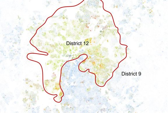
The jagged boundary line was a strategical political move, looping and contorting throughout the state along racial lines, in order to group majority-black neighborhoods into one district while excluding white neighborhoods—a strategy you can see in action by overlaying the district’s borders atop the Racial Dot Map. However, drawing boundaries on racial lines was ruled unconstitutional by the Federal District Court, leading the state to redraw the district in 2016.
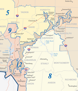
Many argue that these “minority-majority” districts give political power to the black community, but the real effect is often the opposite. By consolidating Democratic-leaning black voters into a small minority of congressional districts, the other districts become majority-white and majority-Republican. It’s no surprise, then, that despite having a near-equal mix or Republicans and Democrats in the state, 10 of the state’s 13 congressional districts—whose borders were drawn by the Republican National Committee—had Republican representatives.
Update 2016: As a result of litigation, the congressional district was redrawn for the 2016 elections but no updated map is yet available. The maps above reflect district lines as they were in 2014.


The Atlas Obscura Podcast is Back!


Follow us on Twitter to get the latest on the world's hidden wonders.
Like us on Facebook to get the latest on the world's hidden wonders.
Follow us on Twitter Like us on Facebook