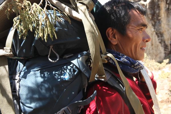
One Man’s 40-Year Quest to Capture Antarctica’s Mountains
Polar explorer Edmund Stump has made 13 field trips to research and photograph the southern continent.
Reprinted with permission from Otherworldly Antarctica: Ice, Rock, and Wind at the Polar Extreme by Edmund Stump, published by The University of Chicago Press. © 2024 by Edmund Stump. All rights reserved.
Fortune smiled in 1970 when I landed a position on a research project bound for the Transantarctic Mountains of Antarctica. As an undergraduate geology major who dreamed of doing research in big, rugged mountains, I knew that a mountain range existed in Antarctica separating the East and West Antarctic Ice Sheets, but that was it. I had no idea about the geology and even less about the otherworldly landscape of ice and rock that awaited me.
The project was funded by the National Science Foundation’s Office of Polar Programs through the Institute of Polar Studies at the Ohio State University. The project leader was David Elliot, a rising star in Antarctic geology, and he brought with him a dozen other researchers, including faculty and graduate students, each assigned a major group of rocks in the area. The paleontologists in the group were searching for vertebrate fossils following successes the previous season: the first bones of an Antarctic Lystrosaurus, the Triassic mammal-like reptile found on all the other Southern Hemisphere continents, had been discovered by Elliot and his team. My assignment was to collect and analyze the rocks in the lower levels of the mountains, which had formed during a mountain-building episode 500 million years before. I was psyched.
The field party worked out of a pair of remote field camps in the Queen Maud Mountains, 500 miles south of coastal McMurdo Station on the tip of Ross Island, supported by three Huey helicopters of the Navy squadron VXE-6. Every day after breakfast, weather permitting, the pilots would fly us out in pairs to climb around in the mountains, mapping and collecting samples, before picking us up and bringing us back to camp in time for dinner.
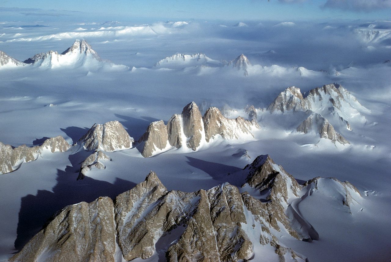
About five miles to the east of camp, McGregor Glacier joined Shackleton Glacier, the outlet glacier that flows through that stretch of the Transantarctic Mountains. Downstream from their confluence, Shackleton Glacier runs due north for 45 miles through a canyon cut 5,000 feet deep into the rock.
For the first week, I mostly mapped along this corridor, both at glacier level and high on ridgelines of the surrounding mountains, and then worked out from there. The second half of the season we moved camp 120 miles to the southeast and continued the routine of daily helicopter support. Because of how much fuel was needed to safely return to camp, the helicopters were limited to a 100-mile radius, and I pushed that limit. By the end of the season, I had mapped and sampled a 300-mile stretch of the Transantarctic Mountains.

The logistics were incredible. I was chauffeured anywhere I wanted to go by Navy pilots who had honed their skills in Vietnam and relished the challenges of mountain flying. Sometimes the places they landed me were high and edgy, barely wide enough to put down both helicopter skids. But even if the landing site was a piece of cake, we always reached it by flying over spectacular, alien terrain.
Each passing day as I studied the rocks, I became more aware of the ice, its pervasiveness, its innumerable forms, its grand scale, its incredible detail: the knobby textures of ablation-pitted glacier ice, the ubiquitous sastrugi or wind-carved patterns in snow, bubbles and cracks in meltwater ponds, the swirls in ice-cored moraines, windswept drifts hung on ridgelines, shattered seracs in surging icefalls, and orderly crevasse fields. Although my business in Antarctica was the study of rocks, it was the all-pervasive ice that took hold of me.
From that first encounter with Antarctica, I wanted to share what I was experiencing. Nature at the polar extreme was like nothing I’d ever seen or imagined. The landscape was stark and utterly pristine, the vistas vast with not a sign of life anywhere in that empty world. This book is my homage to Antarctica, the continent of ice, and to the Transantarctic Mountains, my stomping ground.


Follow us on Twitter to get the latest on the world's hidden wonders.
Like us on Facebook to get the latest on the world's hidden wonders.
Follow us on Twitter Like us on Facebook