AO Edited
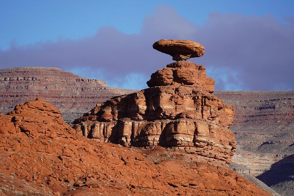
Balanced Rock
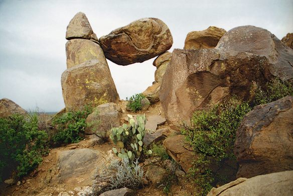
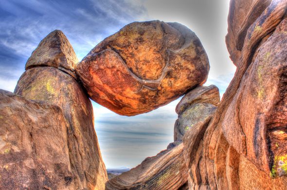
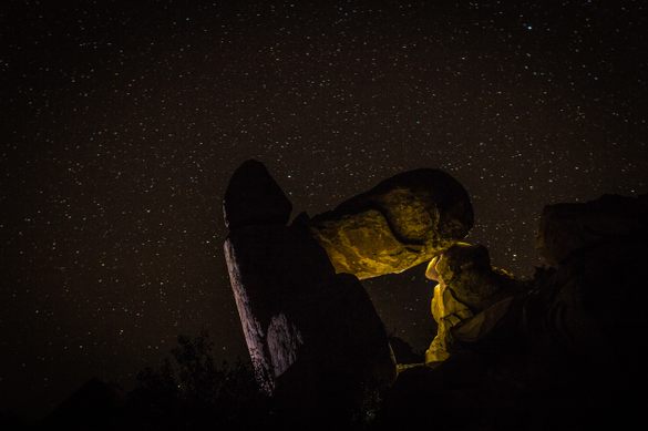
This gravity-defying rock formation is one of Big Bend’s natural wonders.

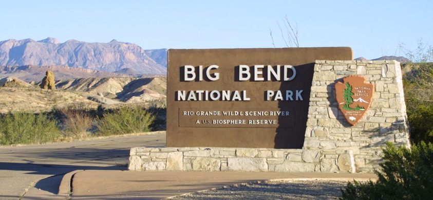

The southwest Texas desert stretches for miles in Big Bend National Park—nearly 80 percent of the park is desert land, after all. All told, there are 150 miles of trails, ranging from desert landscapes to majestic mountains to riverside splendor. Mexican persimmons grow alongside bursts of color from the hundreds of wildflowers. Yucca plants spread their leaves as desert vegetation gives way to the Chisos Mountains, and the ancient ice age forests tucked within them. You’re unlikely to see many people as you venture through its 800,000 acres. That quiet solitude is the perfect environment to see one of the park’s great natural wonders: Balanced Rock.
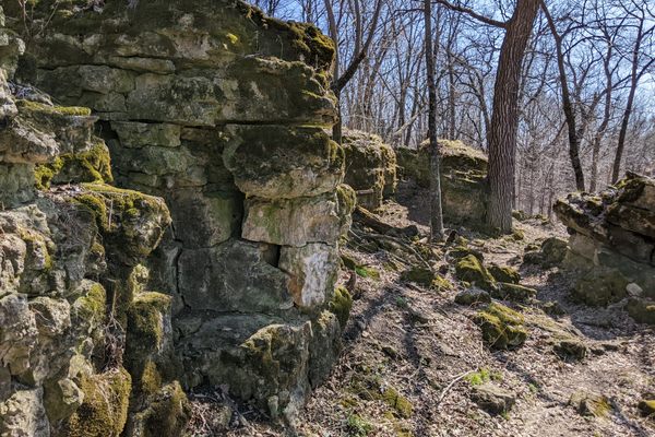
Located at the end of the Grapevine Hills Trail, Balanced Rock is an example of what scientists call a “precariously balanced rock,” or PBR. These gravity-defying balancing acts are the result of millions of years of erosion wearing away at the ground until the rocks below the surface emerged. Often these new rock formations would be two rocks balanced one atop the other. These formations also offer scientists ways to map earthquakes past, present, and future. “If you see a precarious rock that is still standing,” seismologist Daniel Trugman told Nevada Today, “that gives you some upper bound on the ground motion that could have been observed at that site over the lifetime of the rock.”
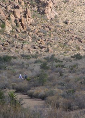
As for Balanced Rock in Big Bend, this granite formation came to be through a combination of underground magma, erosion, and about 38 million years, give or take. The result is one of the state’s most beautiful views, reached by a relatively easy hike. The trailhead is reached via a six-mile drive over gravel road called Grapevine Hills; a small parking lot and an informational sign mark the parking lot and beginning of the trail. The hike to Balanced Rock is about a mile over mostly level ground.
Things get a little tricky as you get closer to the rock. The final quarter-mile requires navigating over some big boulders and rocky terrain, with a final steep climb that may require some scrambling up to the formation. The entire hike is a little over two miles round trip, and should take an hour or two—a perfect option for a quick day hike.
Know Before You Go
The road to get to the trailhead is a rough one. Park officials recommend a high-clearance vehicle to navigate it. The parking lot at the trailhead only fits about 10 cars. Take caution when climbing the rocks as they contain a loose layer of sand that can be slippery. There is no shade on this hike. Make sure to bring plenty of water and wear sun protection (sunscreen, hats, long sleeves, etc). The entrance fee to the park is $15–$30. No cash is accepted.
GET YOUR OWN TRIP TO TEXAS. LETS GO!


Plan Your Trip
The Atlas Obscura Podcast is Back!


Follow us on Twitter to get the latest on the world's hidden wonders.
Like us on Facebook to get the latest on the world's hidden wonders.
Follow us on Twitter Like us on Facebook