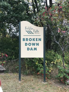
Broken Down Dam Park
A riverside park built around the ruins of a massive dam that collapsed in 1909.
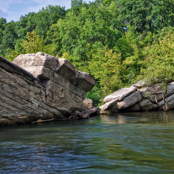
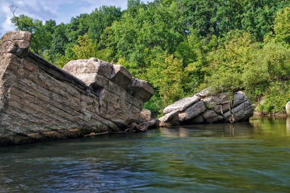

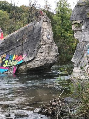
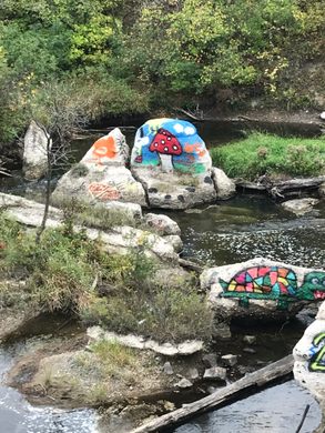
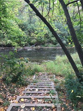
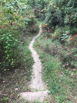
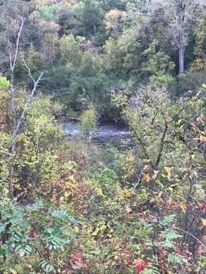
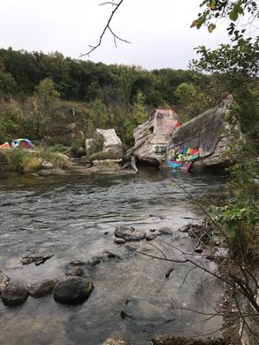
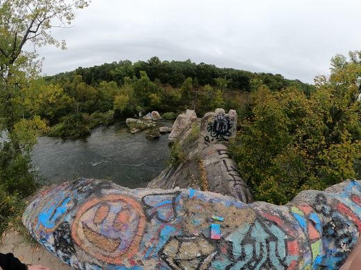
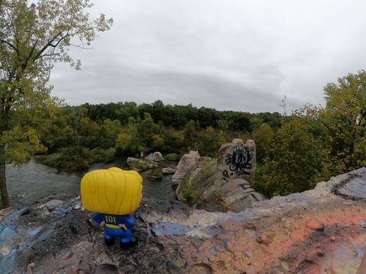
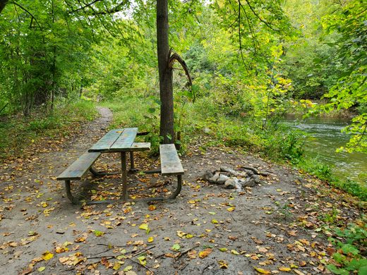

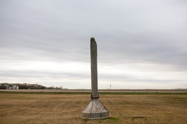
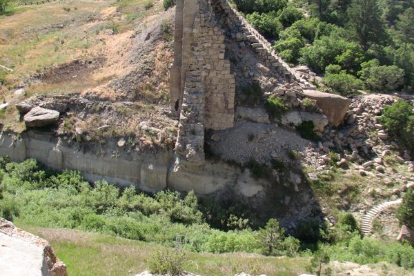
Exploring the winding trails of Broken Down Dam Park along the Otter Tail River, you are met with a peculiar sight: the ruins of a disastrous flood that occurred here in 1909, when a large concrete dam suddenly collapsed.
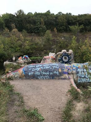
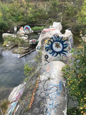
Hiding in plain sight around the park are the remnants of the hydroelectric gravity dam that was built on the river in 1907. The power plant, called the Fergus Falls City Light Station, was in operation for just over a year, supplying power to the residents of the city.
Then, at 4:20 a.m. on September 24, 1909, the dam suddenly collapsed, sending a massive wall of water surging downstream, and causing the subsequent failure of four other dams further down the river. Reportedly, the surge from the collapse was enough to lift a 10-ton generator into the river. Remarkably, no lives were lost in the catastrophe.
An investigation into the structural failure of the dam revealed a striking engineering error: The station was unknowingly built atop a natural spring. When the dam was completed it blocked the spring, causing the water pressure to build until it ruptured. The rupture washed out the concrete foundation and undermined the structural integrity of the dam until it finally failed.
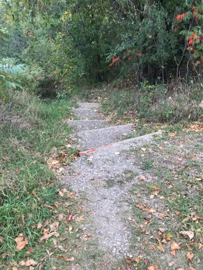
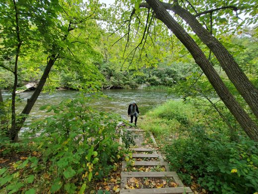
Following the disaster, city officials left the damaged structure in place, and today its ruins lie along the recreational water trail that runs along the river. Hiking the trails of Broken Down Dam Park now offers a strange juxtaposition, as the ruins from this historic disaster are backdropped by the natural beauty of the Otter Tail River.
Know Before You Go
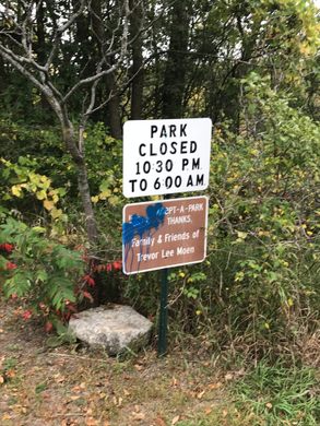
There are no public facilities. The entrance to the park is flanked on both sides by private property, so please be respectful. The address above will take you down two fairly well-maintained dirt roads and finally to a stopping point somewhere in the middle of Broken Down Dam Road. The park is actually at the end of the road, and your best option is to park in the turn-around there. There are a couple of trails leading from there, but the trailhead to the left of the park marker is the most direct route to the ruins.
Community Contributors

Edited by
Plan Your Trip
The Atlas Obscura Podcast is Back!


Follow us on Twitter to get the latest on the world's hidden wonders.
Like us on Facebook to get the latest on the world's hidden wonders.
Follow us on Twitter Like us on Facebook