Cabezon Peak
This towering volcanic plug stands out among the dramatic formations that dot this otherworldly desert valley.

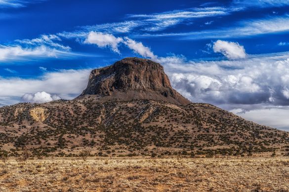
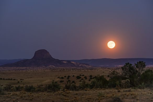
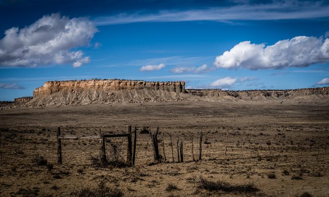
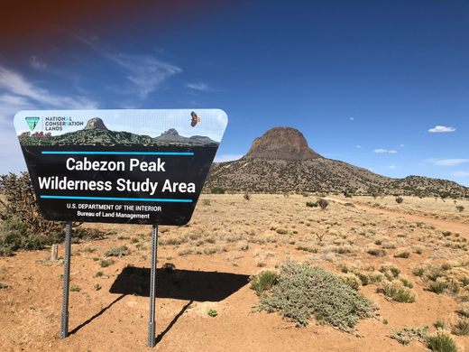
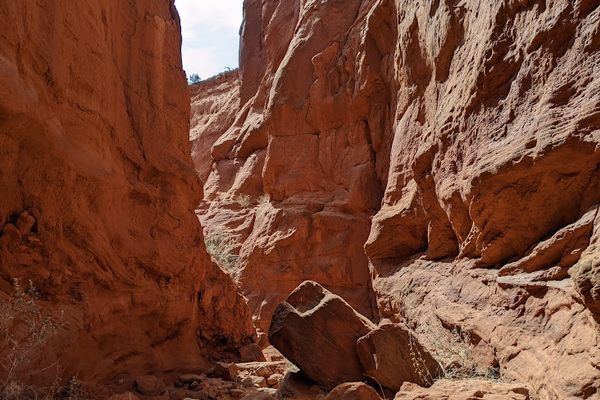
With an elevation of nearly 8,000 feet, Cabezon Peak is the largest of over 50 dramatic volcanic formations that dot the otherwise barren and otherworldly desert shrubland of the Rio Puerco Valley.
Cabezon Peak is a steep-sided and symmetrical basalt volcanic plug that formed during the eruptions of the Mount Taylor volcanic field millions of years ago. The basalt monolith is one of the most prominent landmarks in northwestern New Mexico, dominating the landscape. (Visitors with a keen eye will notice it bears a striking similarity to the larger Devils Tower in Wyoming, which is also a basalt volcanic plug.)
Cabezon, which is derived from the Spanish and translates as “big head,” is believed to have religious significance for the local Pueblo and Navajo Indians. Numerous myths abound, but a particularly popular Navajo legend holds that a giant was slain on Mount Taylor, located to the west, and the giant’s severed head landed to the east, becoming Cabezon Peak. As the legend goes, the giant’s blood congealed to form the volcanic lava flows to the south.
The views from the summit of Cabezon Peak are impressive, looking out over much of northern and central New Mexico. Accordingly, the 1.9-mile hike to the top is a favorite among climbers. It is not, however, for the faint of heart. Basic mountain climbing experience and proper gear, including a helmet, are required for this technical climb along the scree-covered trail and up the nearly vertical cliffs. Acrophobes will definitely find this climb unpleasant.
Know Before You Go
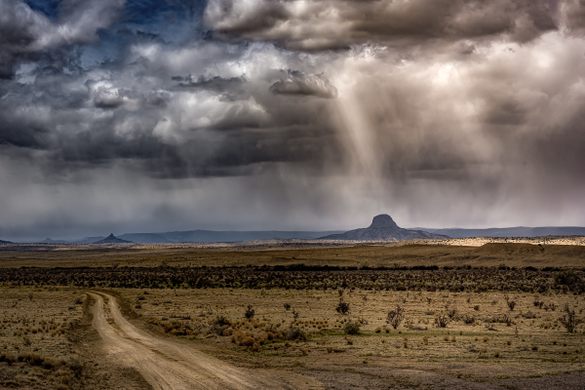
Cabezon Peak is part of the Cabezon Wilderness Study Area. To reach the area from Albuquerque, take I-25 north about 17 miles to US 550 West. Travel 41 miles on US 550 and turn left on NM 279. Cabezon Peak will be visible to the west. NM 279 is a relatively desolate road that passes through the sleepy village of San Luis. The pavement ends after 9 miles. Continue on 279 and bear left at the fork. In 3.8 miles, a BLM sign will indicate the easily driveable two-track to the base of Cabezon Peak. The trail to the summit begins here. No fees or permits are required. Be mindful that the dirt roads become extremely slippery and possibly impassable when it rains. There are no services.
The trail is not recommended for pets or children.
Community Contributors
Added by


Plan Your Trip
The Atlas Obscura Podcast is Back!


Follow us on Twitter to get the latest on the world's hidden wonders.
Like us on Facebook to get the latest on the world's hidden wonders.
Follow us on Twitter Like us on Facebook