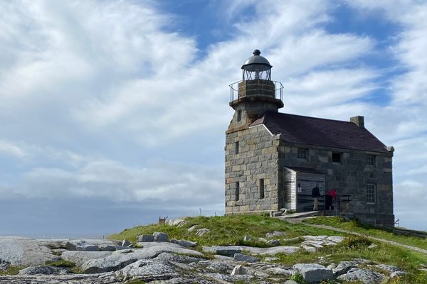
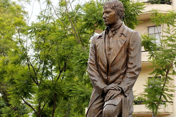
Captain James Cook National Historic Site
A statue of the early navigator stands overlooking the land he first surveyed.

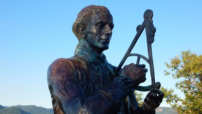
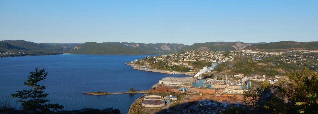
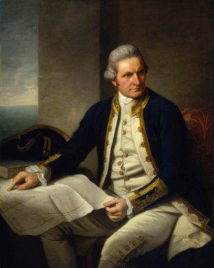
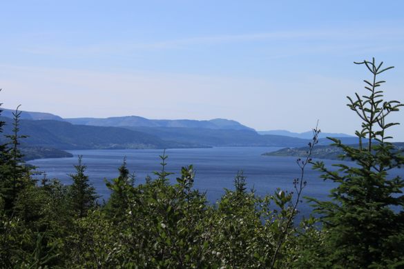

Overlooking the city of Corner Brook, the Blomidon Mountains and the wide Humber Arm of the Bay of Islands, a statue of the British explorer and navigator Captain James Cook holds a quadrant and surveys the lands below, much as he did in the 1760s.
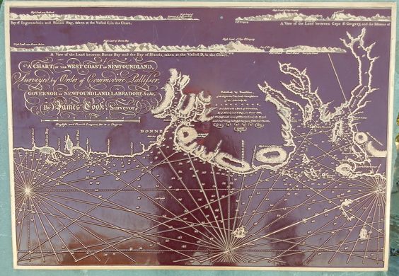
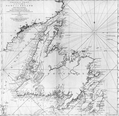
During the Seven Years’ War, James Cook accurately surveyed the entrance of the St. Lawrence River, giving General James Wolfe a critical advantage in bringing his forces up the river to the Plains of Abraham. After the war, Cook would be tasked with surveying the southern and western coasts of the island of Newfoundland and the nearby coast of Quebec and Labrador.
Spending five years completing this task, he produced the most accurate maps of the area, which would remain in use for the next hundred years by fishermen and traders and settle territorial and fishing rights between British and French settlers. After Cook’s surveying was finished, the British Admiralty would send him on further voyages to chart various regions of the Pacific Ocean. During those journeys, Cook became widely known for his violent, tyrannical approach to the Indigenous people he encountered.
In a park on the summit of Crow’s Hill, various plaques surrounding the statue show Captain Cook’s route to the New World and copies of Cook’s maps. They tell the story of the cartographer that made his name surveying the lands of present-day eastern Canada.
Community Contributors


Plan Your Trip
The Atlas Obscura Podcast is Back!


Follow us on Twitter to get the latest on the world's hidden wonders.
Like us on Facebook to get the latest on the world's hidden wonders.
Follow us on Twitter Like us on Facebook