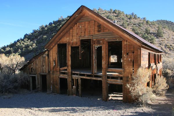
Hanging Flume
The decaying ruins of a failed mining company’s water diversion project cling to the side of a desert canyon.

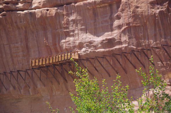
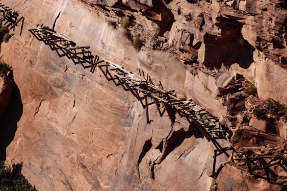

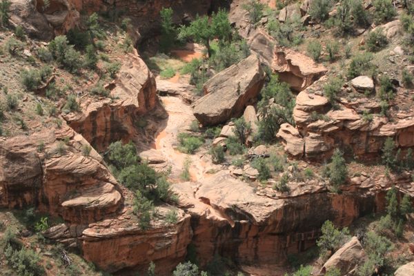
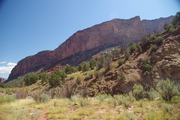
Hydraulic mining was common throughout the American West. Many flumes were built and used, but only one was built on a canyon wall.
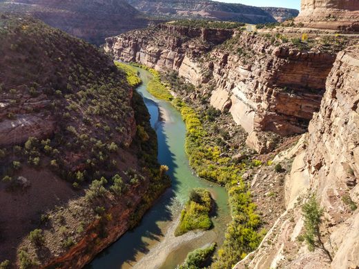
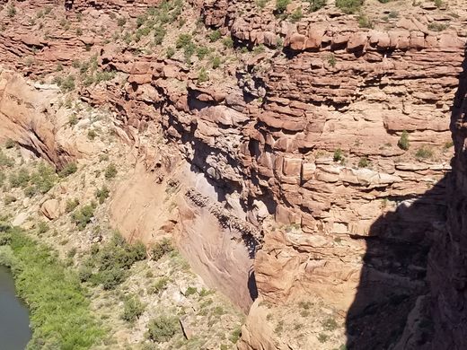
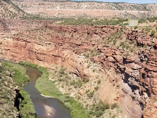
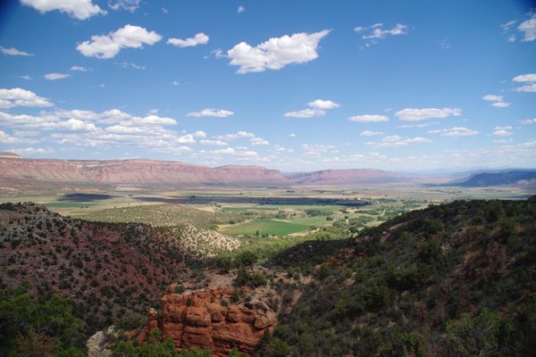
The Montrose Placer Mining Company needed water for the Lone Tree placer mine along the Delores River. Unfortunately, the placer deposit was higher than the river and the only way to get water there was to build a flume. Doubly unfortunate for the company, the Delores River is deeply incised into sandstone deposits.
A flume can’t have too steep a downward angle because it would erode too quickly. The grade was only 0.17 percent, or 19 feet of decline over the 10 miles of the flume. The surveying teams, which consisted of an instrument man who looked through the transit and did the calculation and the rodman. The rodman sat in a bosun chair suspended from the canyon wall, measuring the distance from the instrument man so that the calculations could be done. After the calculations were made, the rodman marked the wall.
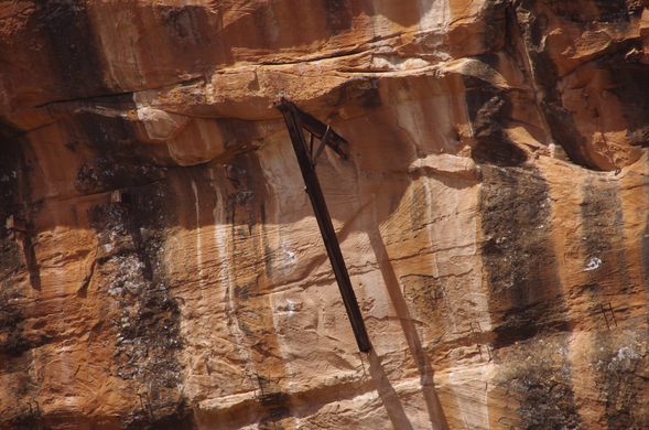
Construction of the flume was done in sections. Custom-made metal rods were hammered into holes drilled in the wall. After cleats were installed, the support frame, made from locally cut timber, was built on the cleat and the four-foot-by-six-foot trough added.
The flume was constructed 1887 and 1891 for a cost of $173,000. Archeological evidence shows that the number of fasteners used on the flume decreased as the flume moved down the canyon, indicating money problems for the company.
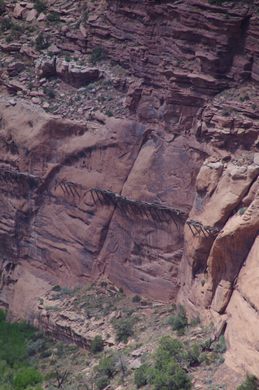
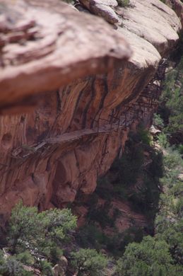
The flume was only used for three years before it was shut down due to lack of operating money. The gold deposit consisted of flake gold, which is more difficult to obtain by placer mining.
Over the years, landslides, vandalism, and salvaging of the lumber have taken its toll. The Hanging Flume is on Colorado’s list of endangered historical sites as well as the World Monuments Fund 100 Most Endangered Sites list.
Know Before You Go
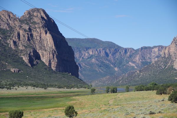
A turn off for viewing the flume has been provided along Colorado 141 south of Gateway, Colorado. This is the Unaweep/Tabeugach Scenic Highway.
A 40-foot section of the flume was reconstructed in 2012 as a test of construction theories based on archeological evidence. This can be seen from Montrose County Y11 at the confluence of the Delores and San Miguel Rivers. Y11 is a narrow dirt road but is passable in a passenger car.
Community Contributors

Edited by
Plan Your Trip
The Atlas Obscura Podcast is Back!


Follow us on Twitter to get the latest on the world's hidden wonders.
Like us on Facebook to get the latest on the world's hidden wonders.
Follow us on Twitter Like us on Facebook