AO Edited
Swaledale Corpse Way
A winding medieval path was used by mourners to carry their dead to the nearest church.

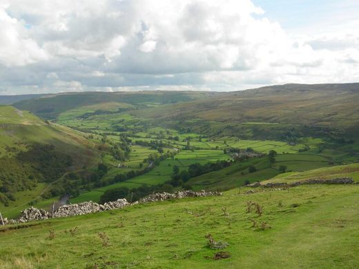
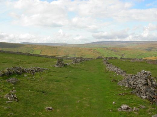
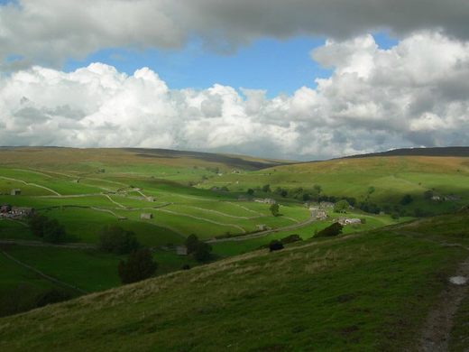


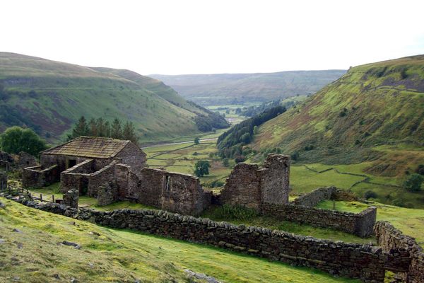
Commoners who couldn’t afford to hire a horse and cart to transport their dead were forced to carry the corpses themselves to the nearest church. This led to the creation of paths like the Swaledale Corpse Way, a 16-mile medieval track linking the hamlet of Keld, at the top of Swaledale, with Grinton, farther down the valley.
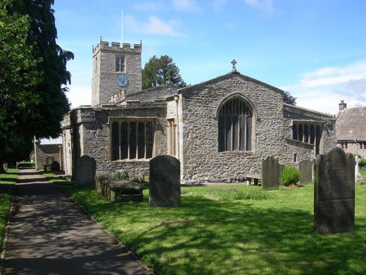
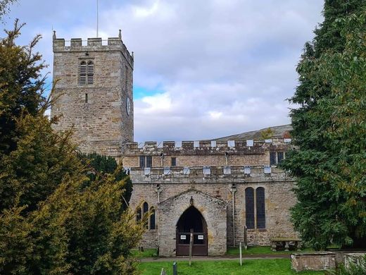
Grinton holds St. Andrew’s Church, which for centuries was the nearest sanctified ground. The tradition of walking this path continued until the Church of St. Mary the Virgin was built in Muker, which was closer to the isolated hamlet.
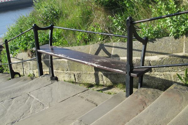
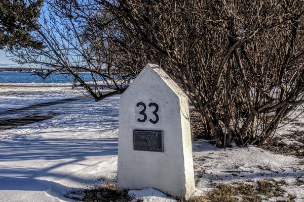
Those carrying their dead along the Swaledale track came up with various solutions to ease their burdens. Wicker coffins were reportedly used instead of wooden ones to help lighten the load on what could be a long walk. Special flat stones were also placed along the route, serving as spots where the mourners could place the coffin and rest for a while before continuing their trek along the valley. Such stones can still be seen along the route today. At Ivelet, there is a flat “coffin stone” by the bridge where the path crosses the River Swale.
Not surprisingly, paths such as this one are steeped in folklore. Tales of ghostly happenings abound, and it is said that rituals were often performed along their lengths, particularly at river crossings and crossroads, to help prevent the spirits of the dead from returning. Along the Swaledale Corpse Way, a headless black dog is said to occasionally be seen at the bridge near the River Swale, where it leaps into the water below. The phantom is considered a bad omen, even a prophecy of death.
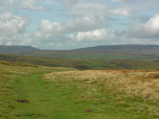
There are several corpse paths throughout England, as they were necessity brought about by the realities of living in such remote and often poor areas. The Swaledale path in particular is worth walking. From Keld, the broad grassy path is quite spectacular as it ascends the atmospheric Kisdon Fell and affords epic views of Swaledale.
Know Before You Go
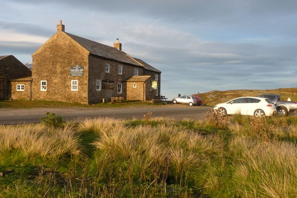
The track can easily be picked up in several locations, including at the start, from Keld (there's parking in the village). Here it can be followed over Kisdon Hill and down to Muker. Alternatively, there is easy access along the meadow paths from Reeth to the endpoint at Grinton. The endpoint of the path, St. Andrew’s Church in Grinton (also known as “The Cathedral of the Dales”), is worth a visit in itself. It is a beautiful church with stained glass windows and an old graveyard.
The GPS coordinates and address lead to Keld.
Community Contributors


Plan Your Trip
The Atlas Obscura Podcast is Back!


Follow us on Twitter to get the latest on the world's hidden wonders.
Like us on Facebook to get the latest on the world's hidden wonders.
Follow us on Twitter Like us on Facebook