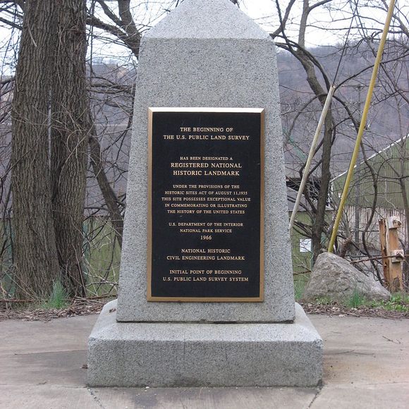
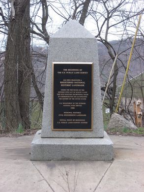
The Starting Point of the U.S. Public Land Survey
After covering almost 1.5 billion acres, the survey's still not finished.
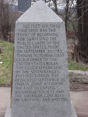


On September 30, 1785, Thomas Hutchins, the first and only Geographer of the United States, set out to divide the country’s western lands into neat, square parcels.
The project Hutchins and his team were embarking on was technically innovative and massively ambitious, but it began in a small way, at a wooden post staked on the north bank of the Ohio River, at the western border of Pennsylvania. With a couple of simple measurement tools and a compass, the men started their work, measuring and marking out a line due west into Ohio.
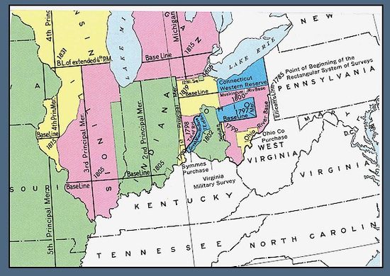
That four mile line was the beginning of the Public Land Survey, which would eventually measure off close to 1.5 billion acres into squares running six miles per side.
Though it’s taken for granted today, the systematic division of land in the United States still defines the country’s geographical fate. In its early stages, the survey pit Thomas Jefferson and Alexander Hamilton against one another, with their competing visions of who should own and profit from America’s land, and it enabled America’s great land grab from the native people in the continent’s western reaches. More than 230 years later, the same system still governs distributions of mineral rights on public lands and underlies digital mapping systems. It is yet to be entirely finished, and its legacy is hidden across the American landscape.
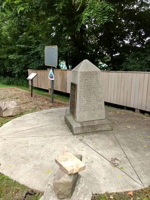
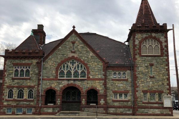
In 1881, Ohio and Pennsylvania erected a marker to commemorate the beginning of the land survey; there’s also a plaque at the true starting point. The marker was made a National Historic Landmark in 1965.
Community Contributors

Edited by


Plan Your Trip
The Atlas Obscura Podcast is Back!


Follow us on Twitter to get the latest on the world's hidden wonders.
Like us on Facebook to get the latest on the world's hidden wonders.
Follow us on Twitter Like us on Facebook