About
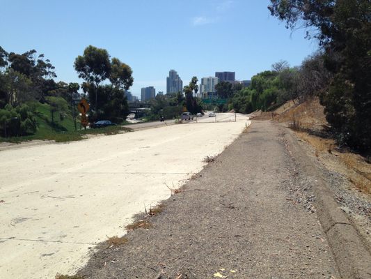
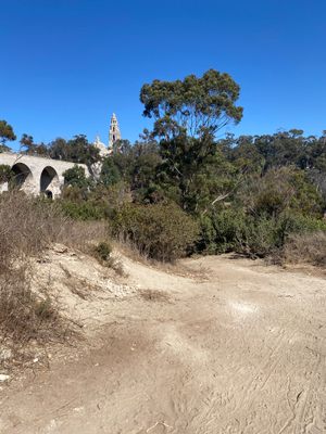
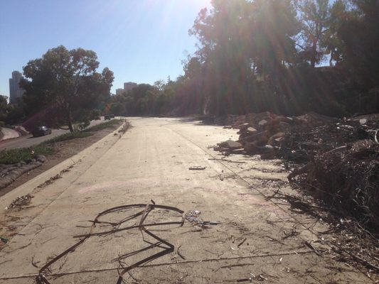
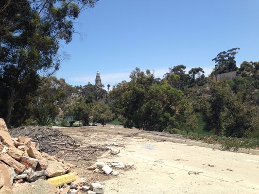
In the 1960s, San Diego proposed to expand what is now known as State Route 163, the Cabrillo Freeway, through Balboa Park to an 8- to 10-lane freeway. Public protest stopped the freeway from expanding more than its existing four lanes, but not before a portion of the SR 163/I-5 freeway connection began construction. The built portion would have extended north over a pedestrian walkway. The stub is still visible today from the Bridle Trail in Balboa Park and connects to the SR 163/I-5 interchange, modeled after the "Four Level" US 101/SR 110 interchange in Los Angeles.
Related Tags
Know Before You Go
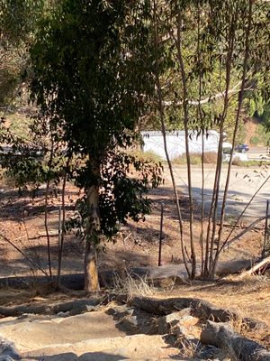
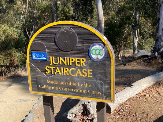
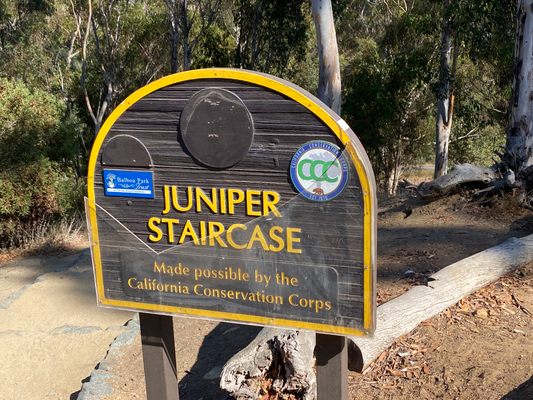
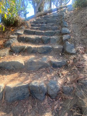
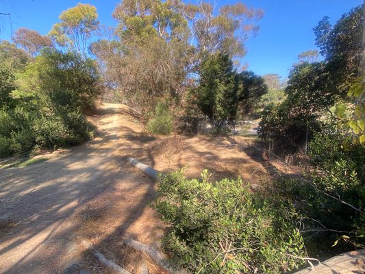
Walk south on the paved pedestrian path on the south side of El Prado that is west of the Cabrillo Bridge and just east of Balboa Drive. Stay on this paved path, bearing left until you see the top of the signed Juniper Staircase. Walk down the stairs and continue straight ahead off the trail until you come to the fence around the Abandoned Freeway Stub.
Community Contributors
Added By
Published
November 9, 2016


