Trips Places Foods Stories Newsletters
Loading...
Loading...
Loading...
Loading...

No search results found for
“”

Make sure words are spelled correctly.

Try searching for a travel destination.

Places near me Random place

Popular Destinations

  • Paris
  • London
  • New York
  • Berlin
  • Rome
  • Los Angeles
Trips Places Foods Stories Newsletters
Sign In Join
Places near me Random place
All Ireland County Donegal 'Eire 80' Sign

'Eire 80' Sign

This World War II relic let Allied pilots know they were entering neutral airspace.

County Donegal, Ireland

Added By
Alan Newman
Email
Been Here
Want to go
Added to list
CAPTION
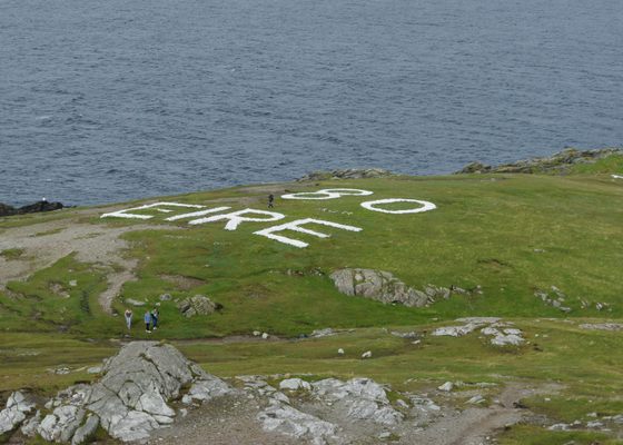
The restored sign at Malin Head, as seen in 2017.   Clive G/cc by-nd 2.0
The sign.   Thirteen Pohl/public domain
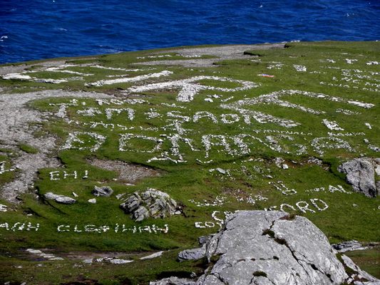
World War II markings.   Kenneth Allen/cc by-sa 2.0
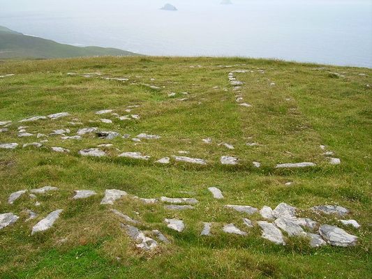
The sign.   Richard Webb/cc by-sa 2.0
Been Here
Want to go
Added to list

About

Pilots flying over the most northern tip of Ireland won’t have any trouble figuring out what country lies below them, thanks to the enormous “Eire” sign written on the earth. Interestingly, what seems like a rudimentary welcome sign is actually a relic of World War II.

Ireland maintained a position of neutrality during World War II, as relations between Britain and Ireland had been tumultuous for centuries. But by 1941, relations had improved between the two governments. They reached an agreement, allowing flying boats from an RAF base on Lough Erne to cross a four-mile-long corridor between Belleek in British-controlled Northern Ireland and what was then known as the Irish Free State.

From 1942 onward, numerous large white signs were constructed around the Irish coast indicating the word "Eire" along with the designated number of the lookout station nearby. The stone signs were meant to signal to pilots that they were entering into neutral airspace. But in practice, these signs were extremely useful to the Allies as general navigation aids. They were especially helpful in enabling pilots to avoid accidentally landing in Ireland, which would result in their internment.

While around 85 of these signs were constructed, today they are in various stages of disrepair. However, the sign at Malin Head (lookout post 80), in County Donegal, has recently been restored and serves as a great example of these important wartime waymarkers.

Related Tags

Seen From Space Signs World War Ii War History Military

Know Before You Go

The sign at Malin Head is clearly visible in the satellite view on Google Maps.

Community Contributors

Added By

Dr Alan P Newman

Edited By

Kerry Wolfe

  • Kerry Wolfe

Published

June 26, 2018

Edit this listing

Make an Edit
Add Photos
Sources
  • http://eiremarkings.org/the-map/
  • http://eiremarkings.org
'Eire 80' Sign
County Donegal
Ireland
55.382312, -7.371699

Nearby Places

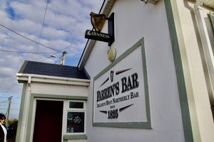
Farren’s Bar

County Donegal, Ireland

miles away

Doagh Famine Village

County Donegal, Ireland

miles away

Inishtrahull

County Donegal, Ireland

miles away

Explore the Destination Guide

Photo of County Donegal

County Donegal

Ireland

Places 3

Nearby Places

Farren’s Bar

County Donegal, Ireland

miles away

Doagh Famine Village

County Donegal, Ireland

miles away

Inishtrahull

County Donegal, Ireland

miles away

Explore the Destination Guide

Photo of County Donegal

County Donegal

Ireland

Places 3

Related Stories and Lists

Ireland's Coast Has Giant, Hidden Signs Telling Pilots Where They Are

military history

By Sarah Laskow

Related Places

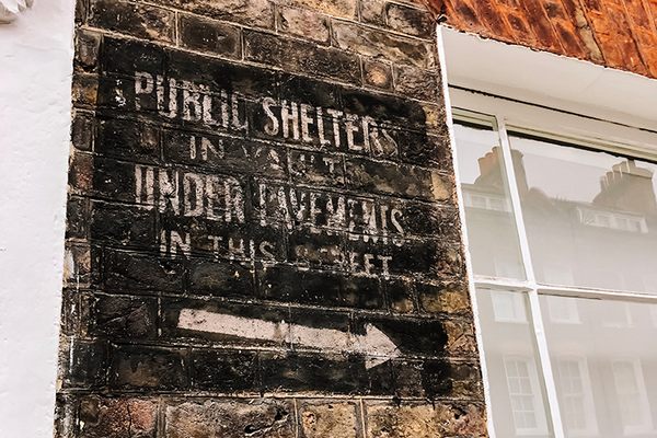
  • The ghost sign.

    London, England

    Smith Square World War II Ghost Sign

    A faded reminder of what was once a common sight in London during the Blitz.

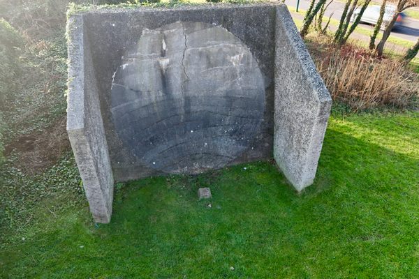
  • Redcar’s Sound Mirror, also known as ‘Redcar’s Concrete Ear’

    Redcar, England

    Redcar Sound Mirror

    A World War I relic found in the middle of a modern residential area.

  • The Victory Kitchen Sign.

    Valletta, Malta

    Victory Kitchen Sign

    A World War II-era sign in Valletta is a reminder of when Malta was besieged so severely that food needed to be rationed.

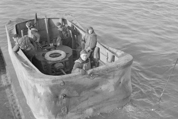
  • A floating Valentine tank, note the turret in the middle of the canvas

    Dorset, England

    Valentine Tank Wrecks

    The site of a dress rehearsal for D-Day that ended in disaster.

  • Former bunker gates.

    Altenmünster, Germany

    Z-Hiag Former Chemical Plant

    Hidden in the forest are the remains of a former World War II chemical plant.

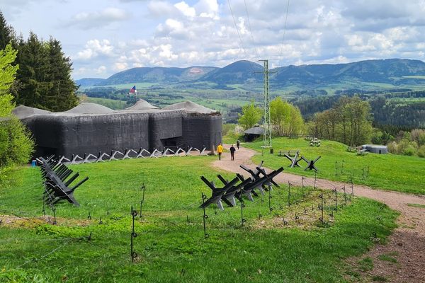
  • Stachelberg Fortress proper.

    Trutnov, Czechia

    Fort Stachelberg

    This fortress was designed to prevent a Nazi invasion but was never used.

  • Carnbooth Anti Aircraft Battery

    Glasgow, Scotland

    Carnbooth Anti-Aircraft Battery

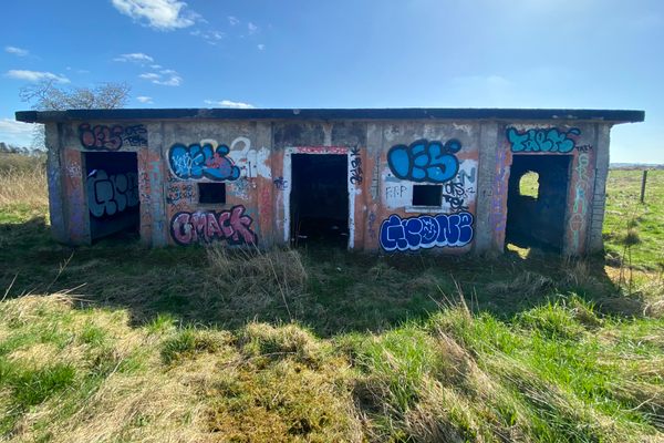
    This former World War II artillery defense site was built to guard the industrial city of Glasgow.

  • Carmunnock War Memorial

    Clarkston, Scotland

    Carmunnock War Memorial

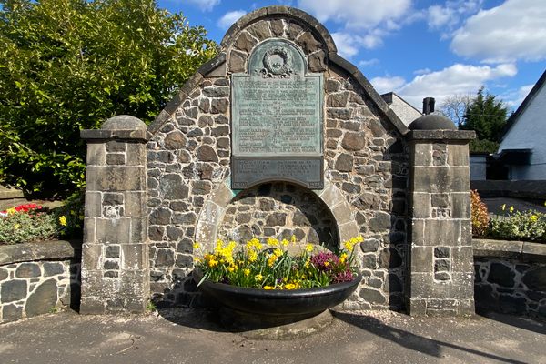
    This 1920's sandstone war memorial was constructed with an unusual drinking trough for horses.

Aerial image of Vietnam, displaying the picturesque rice terraces, characterized by their layered, verdant fields.
Atlas Obscura Membership

Become an Atlas Obscura Member


Join our community of curious explorers.

Become a Member

Get Our Email Newsletter

Follow Us

Facebook YouTube TikTok Instagram Pinterest RSS Feed

Get the app

Download the App
Download on the Apple App Store Get it on Google Play
  • All Places
  • Latest Places
  • Most Popular
  • Places to Eat
  • Random
  • Nearby
  • Add a Place
  • Stories
  • Food & Drink
  • Itineraries
  • Lists
  • Video
  • Podcast
  • Newsletters
  • All Trips
  • Family Trip
  • Food & Drink
  • History & Culture
  • Wildlife & Nature
  • FAQ
  • Membership
  • Feedback & Ideas
  • Community Guidelines
  • Product Blog
  • Unique Gifts
  • Work With Us
  • About
  • FAQ
  • Advertise With Us
  • Advertising Guidelines
  • Privacy Policy
  • Cookie Policy
  • Terms of Use
Atlas Obscura

© 2025 Atlas Obscura. All Rights Reserved.