Trips Places Foods Stories Newsletters
Loading...
Loading...
Loading...
Loading...

No search results found for
“”

Make sure words are spelled correctly.

Try searching for a travel destination.

Places near me Random place

Popular Destinations

  • Paris
  • London
  • New York
  • Berlin
  • Rome
  • Los Angeles
Trips Places Foods Stories Newsletters
Sign In Join
Places near me Random place
All the United States Nevada Boulder City Hoover Dam Geodetic Survey Markers
AO Edited

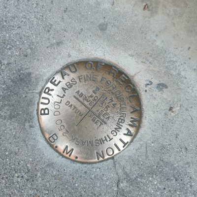
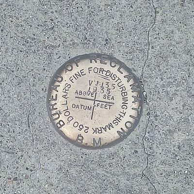
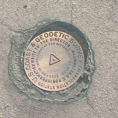
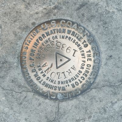
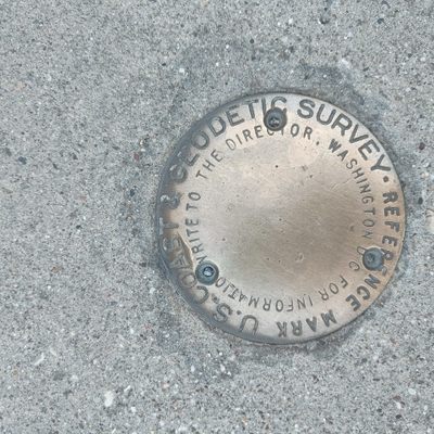
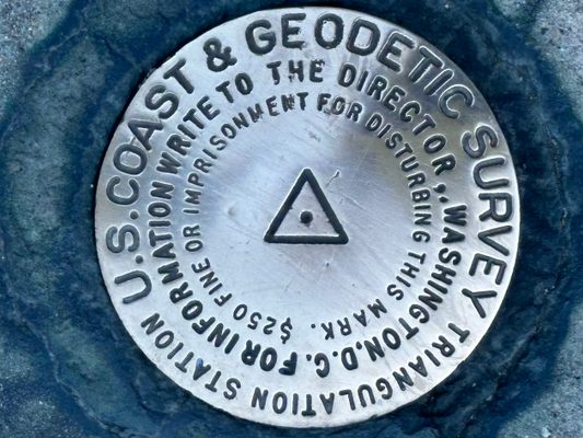
Hoover Dam Geodetic Survey Markers

These markers are used to document elevation changes around the famed dam.

Boulder City, Nevada

Added By
CoolCrab
Email
Been Here
Want to go
Added to list
CAPTION
Hoover Dam Geodetic Survey Markers   CoolCrab / Atlas Obscura User
  laurielaurie / Atlas Obscura User
Been Here
Want to go
Added to list

About

The Hoover Dam is one of America's greatest feats of civil engineering, capable of holding back a staggering 10 trillion gallons of water. Of course, a project of this kind had to be made with precision, and even after its completion, that preciseness must be maintained. 

This job is done during a geodetic survey where the exact location and elevation of certain points on and around the dam are measured. These locations are then marked with benchmarks to allow future surveyors to see how things changed over time. 

The area around the Hoover Dam is surveyed every few decades where all markers are re-measured, and new ones are added where needed. This is how it was discovered that the dam subsided by just under five inches between 1935 and 1964. (Don't worry this was within the predicted values.) 

Related Tags

Dams Design Engineering

Know Before You Go

You can find many markers on the dam dating back all the way to 1935, with the newest, from the early 2000s, located near the visitors center.

Community Contributors

Added By

CoolCrab

Edited By

laurielaurie

  • laurielaurie

Published

June 1, 2022

Edit this listing

Make an Edit
Add Photos
Hoover Dam Geodetic Survey Markers
75 Hoover Dam Access Rd
Boulder City, Nevada, 89005
United States
36.016262, -114.737214
Visit Website
Get Directions

Nearby Places

Winged Figures of the Republic

Boulder City, Nevada

miles away

Black Canyon National Water Trail

Boulder City, Nevada

miles away

Hoover Dam Old Exhibit Building

Boulder City, Nevada

miles away

Explore the Destination Guide

Photo of Boulder City

Boulder City

Nevada

Places 8

Related Places

  • Bonneville Dam

    North Bonneville, Washington

    Bonneville Lock & Dam

    Boats and fish both find their way through this massive hydroelectric structure.

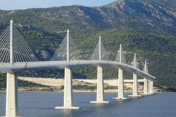
  • Pelješac Bridge

    Duboka, Croatia

    Pelješac Bridge

    Construction of this bridge was once described as an "act of violence" against a neighboring country.

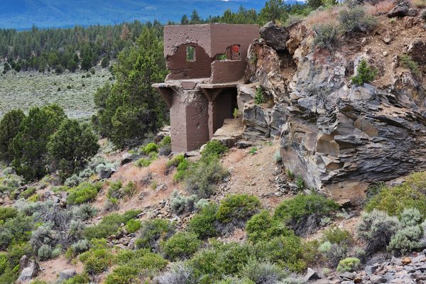
  • The never-used headgate structure at the west end of the dam.

    Bend, Oregon

    Tumalo Dam

    The ruins of a failed dam that was built over land later described as a "sponge."

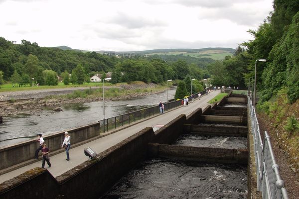
  • Pitlochry Fish Ladder

    Pitlochry, Scotland

    Pitlochry Fish Ladder

    An exceptional engineering feat that facilitates the migration of salmon upstream during their breeding season.

  • The Pilchowice dam and hydroelectric power plant (north end)

    Pilchowice, Poland

    Pilchowice Hydroelectic Dam

    The tallest stone dam in Poland was opened by Kaiser Wilhelm II himself.

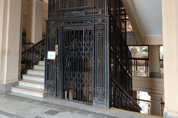
  • Pune’s First Lift

    Pune, India

    Pune’s First Lift

    The vintage, artistic cage of the city’s first lift welcomes visitors to an old heritage building.

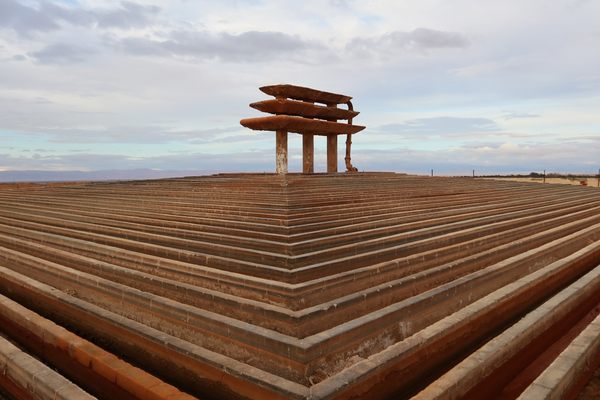
  • El Hamma Water Cooler

    Hammat-al-jarid, Tunisia

    El Hamma Water Cooler

    Geothermal resources are cooled in this oddly-shaped structure before being used for irrigation

  • The three kilns in the distance, from the slag terrace.

    Pioche, Nevada

    Bristol Well

    Beehive charcoal kilns and slag deposits mark this late 19th century camp centered on a smelter.

Aerial image of Vietnam, displaying the picturesque rice terraces, characterized by their layered, verdant fields.
Atlas Obscura Membership

Become an Atlas Obscura Member


Join our community of curious explorers.

Become a Member

Get Our Email Newsletter

Follow Us

Facebook YouTube TikTok Instagram Pinterest RSS Feed

Get the app

Download the App
Download on the Apple App Store Get it on Google Play
  • All Places
  • Latest Places
  • Most Popular
  • Places to Eat
  • Random
  • Nearby
  • Add a Place
  • Stories
  • Food & Drink
  • Itineraries
  • Lists
  • Video
  • Podcast
  • Newsletters
  • All Trips
  • Family Trip
  • Food & Drink
  • History & Culture
  • Wildlife & Nature
  • FAQ
  • Membership
  • Feedback & Ideas
  • Community Guidelines
  • Product Blog
  • Unique Gifts
  • Work With Us
  • About
  • FAQ
  • Advertise With Us
  • Advertising Guidelines
  • Privacy Policy
  • Cookie Policy
  • Terms of Use
Atlas Obscura

© 2025 Atlas Obscura. All Rights Reserved.