Caring for—and Expanding—Berkeley’s Hidden Network of Hillside Paths
The California city has over 130 different woodsy shortcuts cutting through its hills and streets.

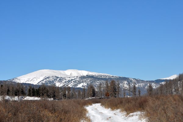
If you want to get from the edge of the city in Berkeley, California all the way up to Tilden Park, you have a couple of options. You can drive there, slowly, switching back every hundred yards or so as the steep roads demand. Or you can do it the old-fashioned way, and take the stairs.
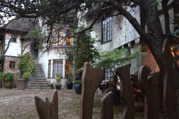
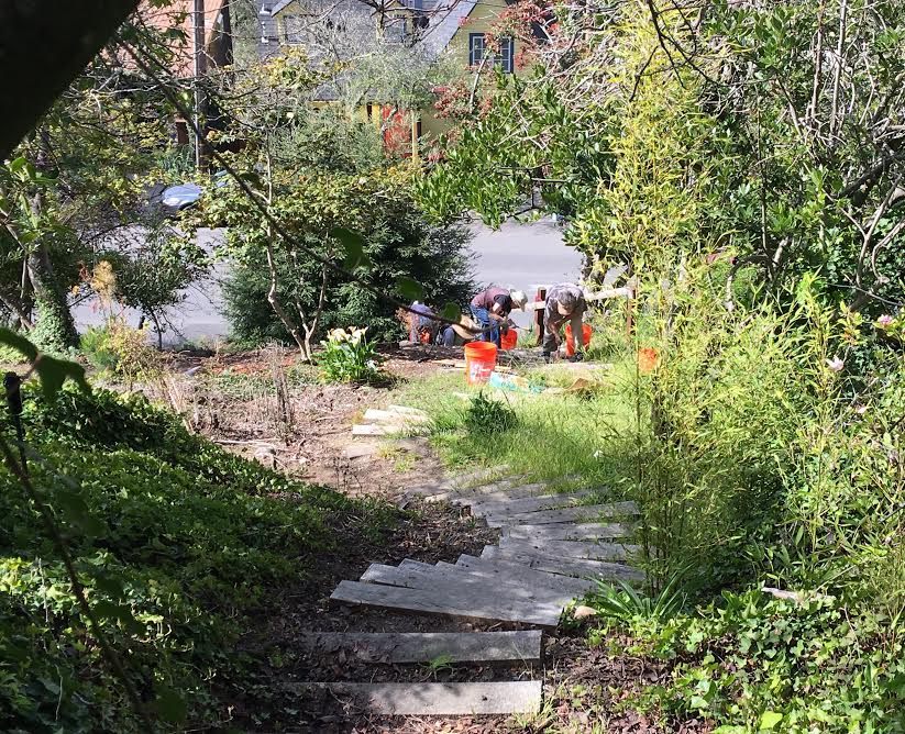
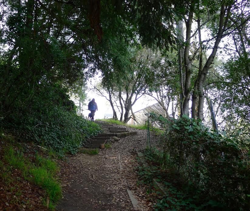
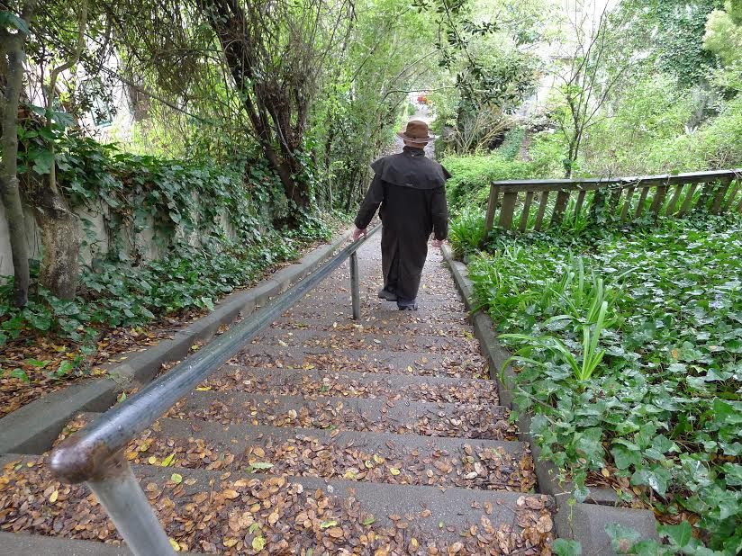
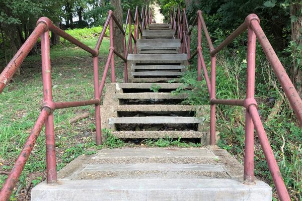
A series of 10-foot-wide paths and stairways—Covert Path to Whitaker Path, and all the way up to Patty Kates—leads from the UC Berkeley Rose Garden all the way up to the park, with just a few detours on paved streets along the way. It’s one of dozens of such routes that exist around the city, an efficient and exciting alternative to regular old roads.
The stairways may feel furtive, but this hidden network is actually an entrenched part of the city’s infrastructure. “The paths were drawn out on the original city maps,” says Colleen Neff, who, since she moved to Berkeley 17 years ago, has walked all 136 pathways. During an early rush of development in the early 1900s, many of the city’s new neighborhoods were built way up in the hills, with the houses perched practically on top of each other.

“The streets wind along, and they sort of switch back to get down,” she explains. “The pathways were put in as shortcuts, so that people who lived up in the hills could come down and get the streetcar.” From there, they then could go into the center of town, or catch the ferry to San Francisco—a city with plenty of secret stairs of its own.
Neff is the president of the Berkeley Path Wanderer’s Association, a group of volunteers that first arose two decades ago, after a tragedy pointed out another vital service provided by the paths. At that time, Neff says, “there was nobody really stewarding the pathways.” After dozens died in a hillside fire in 1991, she says, “people in Berkeley saw that these really could have been used as escape routes for people to get down from the hills.” The city surveyed the existing paths, and added signage. A few years later, the Association was born.
Now—with what Neff calls “light supervision” from the city—the group maintains the network of staircases and pathways. They fundraise for needed materials, throw work parties, and coordinate with various city agencies to get the most out of the infrastructure. They also publish a map of the city, “Berkeley and Its Pathways,” that serves as a complete guide to the city’s various byways. (The most recent edition is new as of 2018, and excerpts from it appear in this article.)
Although the city originally laid out plans for over 150 paths, they did not end up making all of them. So the Association is working to finish the job, bringing one planned but unbuilt path to fruition every year. This, Neff says, can be a struggle—although people love the paths, not everyone necessarily wants one to suddenly sidle past their house or yard. “There is always a lawyer who lives adjacent to the path,” says Neff. “We have one right now that’s fighting one of the pathways.”
Trying to get everyone on the same page means it takes an average of three years to go from a rough plan to a functioning staircase or trail. But because the city ultimately owns the land, “the path always gets built,” she says. “I always talk about it like the stages of grief: denial, anger, bargaining, and then people do get to acceptance.”
(Plus, after the path is there, Neff says, “it’s never what people think it’s going to be. They always think there is going to be maurauding bands of teenagers. But if you had teenagers, you would know they do not need to climb this kind of a hill to sit up and drink a can of beer.”)
Instead, the paths continue to attract the demographic they were built for: people trying to get into the city from the outskirts. (Although the city’s streetcars are no longer in commission, a lot of the transportation infrastructure is the same, and the paths now tend to emerge at bus stops.)
But the stairways have, somewhat ironically, become a haven for those who are trying to get away from it all. Once you step off a road and onto a pathway, what started as a shortcut becomes a destination in itself. “You’re not on a street smelling the cars and hearing the traffic,” says Neff. “You’re on an adventure.”


Follow us on Twitter to get the latest on the world's hidden wonders.
Like us on Facebook to get the latest on the world's hidden wonders.
Follow us on Twitter Like us on Facebook