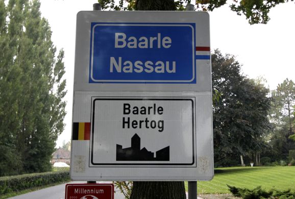
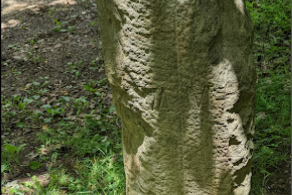
Borders of Baarle-Nassau and Baarle-Hertog
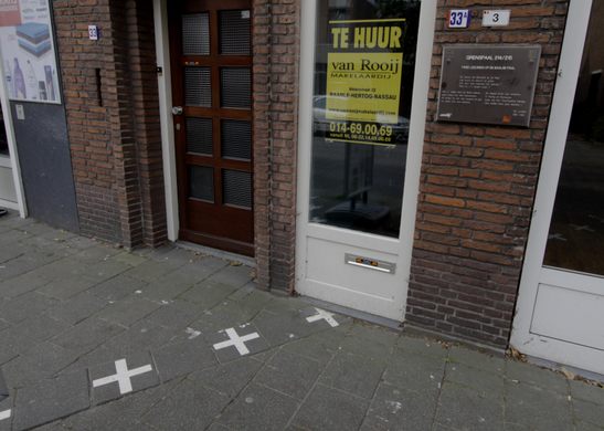
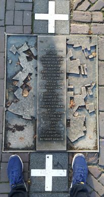
A maze of crosses marks the jumbled divide between the Netherlands and Belgium.
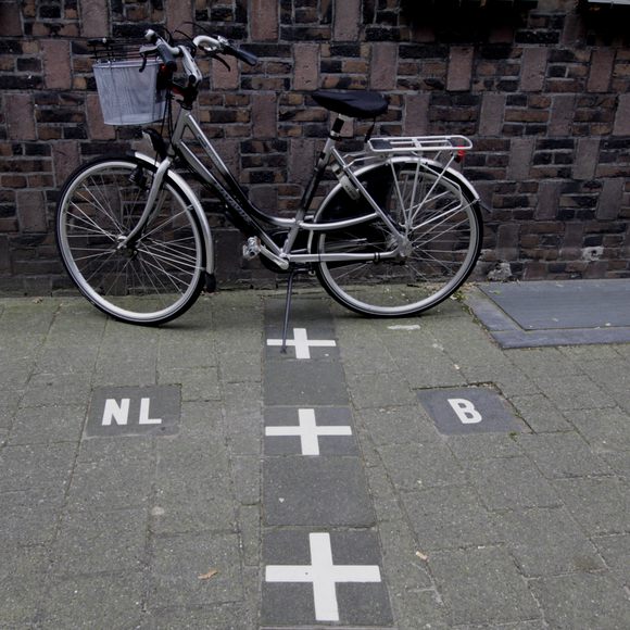
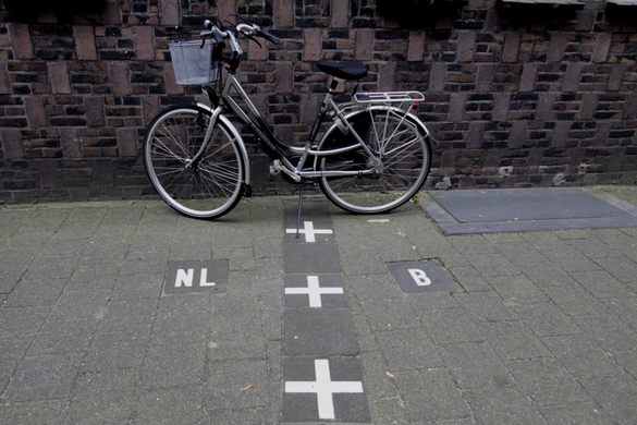
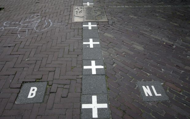
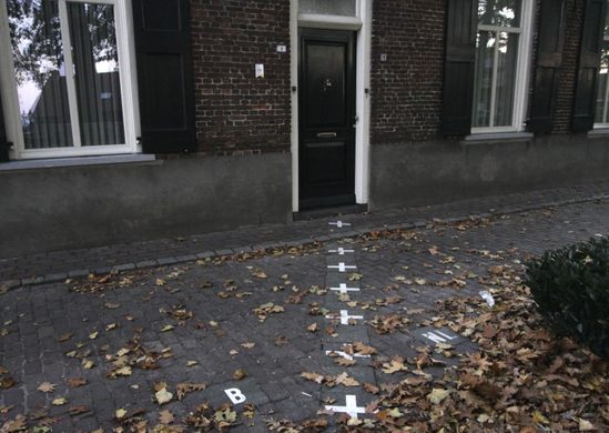
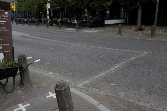
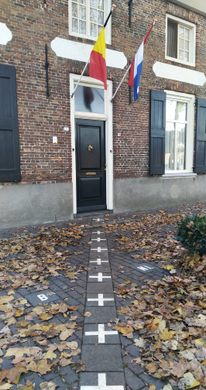
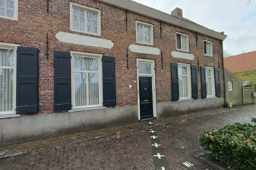
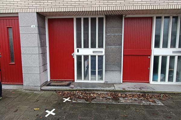
Many places have jagged borders, but few are as convoluted as the jumble of white crosses that marks the intertwined towns of Baarle-Nassau and Baarle-Hertog.
Baarle-Nassau, in the Netherlands, and Baarle-Hertog, in Belgium, form a series of small enclaves that fit together like a puzzle. Thanks to historic treaties, agreements, and land sales, the division between the two towns is more than a bit wonky.
It all started in the Middle Ages, when parts of these lands were owned by the Dukes of Brabant and parts by the Lords of Breda, and later the House of Nassau. When Belgium and the Netherlands were formed, it became necessary to establish a border between the two countries. In Baarle, the demarcation was so confusing that a special border commission was needed to sort it out.
In the end, it took 15 years to mark the border, and the town was not divided in any logical way. It was split into bits and pieces of countries criss-crossing each other so randomly that the borders often run through gardens and houses. One minute you might be walking down a street in Belgium, and the next minute you’ll suddenly find yourself in the Netherlands.
Some issues, such as one country closing its stores on Sunday while the other leaves them open, have made this unusual arrangement a bit tricky. But through it all, the crazy borders seem to be a boon to the towns, as their status has made them a popular tourist attraction.
Community Contributors


Plan Your Trip
The Atlas Obscura Podcast is Back!


Follow us on Twitter to get the latest on the world's hidden wonders.
Like us on Facebook to get the latest on the world's hidden wonders.
Follow us on Twitter Like us on Facebook