Lahontan Dam and the Newlands Project
The first project by the Bureau of Reclamation illustrates both the upsides and downsides of reclamation.


In the late 19th and well into the 20th centuries, reclamation (the construction of water storage and distribution structures to irrigate farmland) was the subject of a great deal of enthusiasm among a segment of population in the U.S. West. Motivations ranged from notions of “making the desert bloom” to pragmatic ideas of fostering economic development to promoters seeking to add value to lands they had acquired.
Francis G. Newlands, at the time a Congressman from Nevada, was one of those enthusiasts and author of the Newlands Reclamation Act. Passed in 1902, it created what is now the Bureau of Reclamation, a Federal agency tasked with identifying reclamation sites and building the necessary infrastructure, dams in particular.
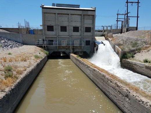
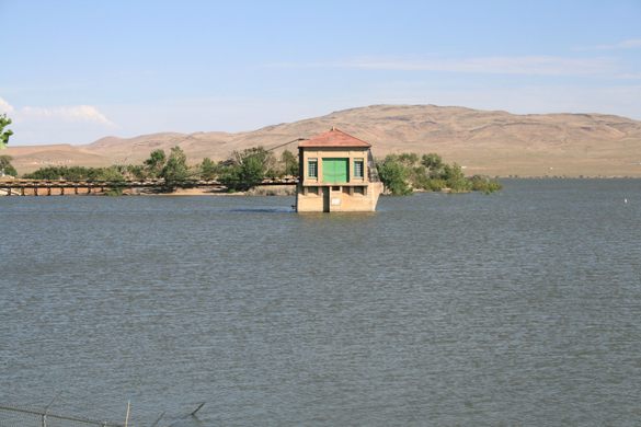
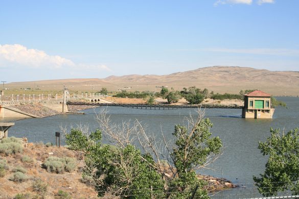
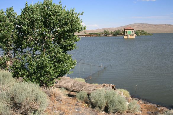
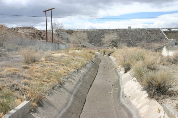
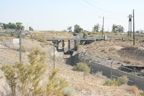
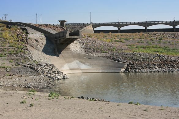
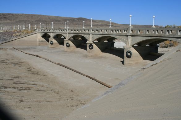
One of the first projects was, unsurprisingly, in western Nevada, on the Carson and Truckee Rivers draining east from the Sierra Nevada. A diversion structure, Derby Dam, was built on the Truckee that sent water through a 31-mile canal into the Carson River. A diversion structure about five miles downstream on the Carson, the Carson River Diversion Dam, fed water into two canals on either side of the river, called T (on the north) and V (on the south). These canals then sent water through a set of distributary canals to farmlands.
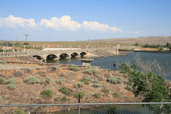
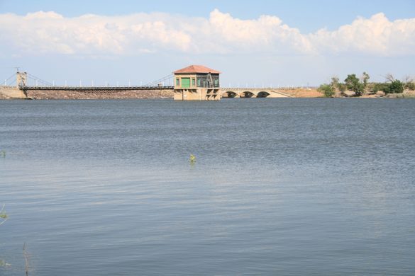
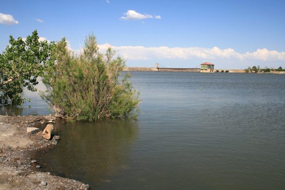
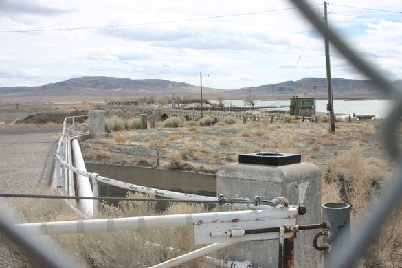
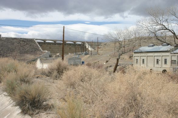
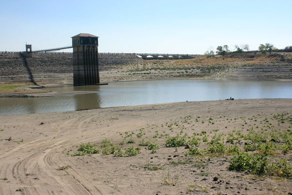
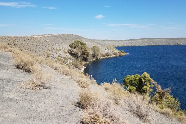
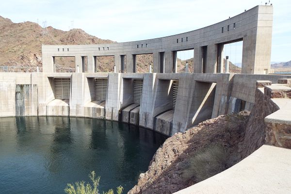
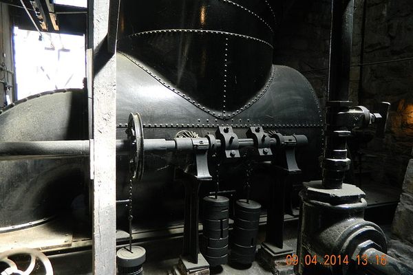
The water flow of the Truckee was to be regulated by an outlet dam at Lake Tahoe, the source of the river. Litigation initially blocked the construction of this dam, but it was finally built in 1913. This motivated the construction of Lahontan Dam for alternative water storage at a narrows on the Carson River, just downstream of where the Truckee Canal enters. When it was completed in 1915, it was the largest earthfill dam in the U.S. It included a small hydropower plant, which is still in use. The reservoir created is called Lahontan Reservoir, named after the enormous Pleistocene lake that filled the basin some 15,000 years ago.
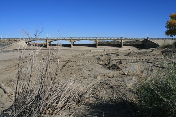
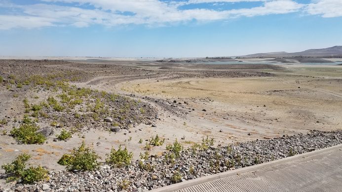
In many ways, the Newlands Project was a success. The small city of Fallon largely owes its existence to the project and is the center of a (mostly) thriving agricultural area. But fallout from the Newlands Project has shown that reclamation can be a mixed blessing. The level of Lahontan Reservoir varies widely, as it depends on the snowpack in the Sierra Nevada. It goes from nearly dry (as in 2014 and 2021) to overflowing (as in 2017 and 2023). This seriously compromises its value both for irrigation and recreation. Irrigation also raised the water table, which flooded out a salt works in the nearby Soda Lakes.
There are vastly more important consequences, too. Diverting so much of the Truckee’s flow led to the drying up of both Winnemucca Lake and its former feeder channel Mud Slough, as well as to major drops in the level of Pyramid Lake. This led to the wholesale destruction of fish populations, particularly the trout spawning runs up the Truckee.
Similar effects occurred in the Carson River drainage. Carson Sink, the sump for the Carson River, is the centerpiece of the Stillwater Wildlife Management Area, historically an important bird habitat, and the loss of water devastated fish populations, plant life, and the birds that rely on them.
Such issues led to litigation—and legislation—through most of the 20th century and up to the present, and some of the worst effects have been mitigated. Pyramid Lake must receive enough water to forestall further declines in its level, and the Stillwater Refuge has obtained additional water rights. In 1990 the Nevada legislature even recognized wildlife support as a “beneficial use” of water, which furnishes a legal basis for its priority. Still, in this arid country, it’s hardly likely that conflicts over water use will vanish.
Know Before You Go
Lahontan Dam is easy to find. It's just south of US-50 about 7.2 miles west of the junction with US-50A. Unfortunately, access onto the dam itself is no longer allowed due to post-9/11 security measures.
However, Lahontan Reservoir is the centerpiece of Lahontan State Recreation Area, and there is access south of the dam to the reservoir, including picnic areas. There is also access to the reservoir from off US 50 west of the dam.
At higher water levels, there is also reservoir access outside Silver Springs, which is 17.3 miles west on US-50 from the US-50A junction. At Silver Springs go 2.9 miles south on US-95A, then turn right on Fir Avenue and go 1.6 miles to a shallow left (which will be signed) to the park entrance.
It's recommended to make local inquiry as to water level before planning on water sports. There is no recreational infrastructure in the immediate vicinity of Lahontan Reservoir, aside from some boat ramps, but there are full services in Fallon and limited services (e.g., food, fishing supplies) in Silver Springs.

Plan Your Trip
The Atlas Obscura Podcast is Back!


Follow us on Twitter to get the latest on the world's hidden wonders.
Like us on Facebook to get the latest on the world's hidden wonders.
Follow us on Twitter Like us on Facebook