Lake Abert
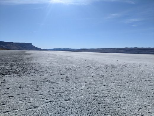
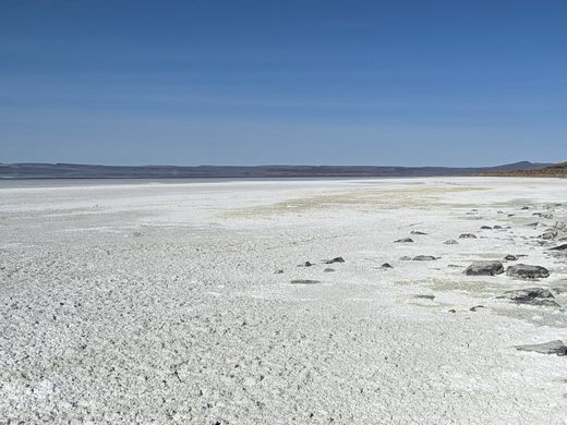
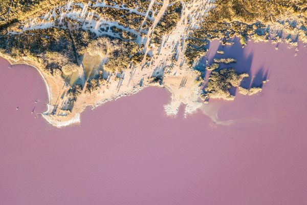
Oregon's only closed-basin hypersaline lake, an important stopover for migrating waterfowl, is in danger of drying up completely.

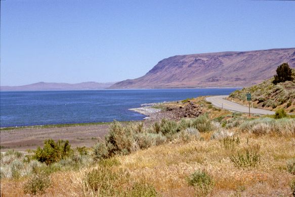
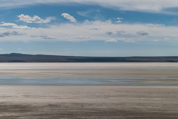
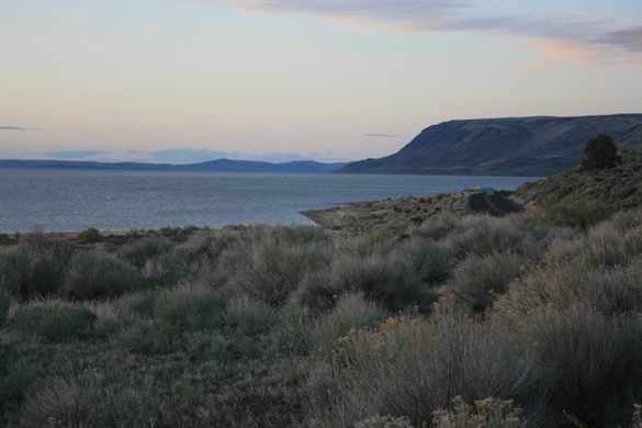

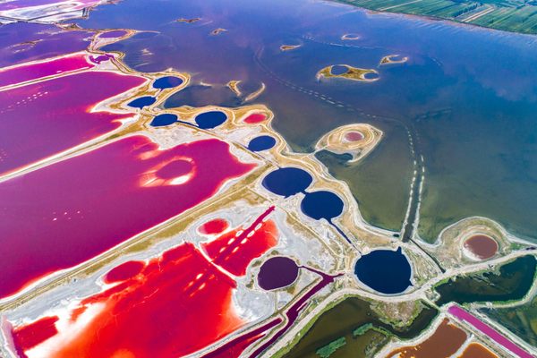
The slice of south-central Oregon that includes the Basin and Range fault-block structure represents the northernmost extent of the Great Basin. Lake Abert (pronounced “AY-bert”) is a saline lake with no outlet to the sea, so its only water outlet is evaporation. The high salinity has resulted from the concentration of dissolved salts brought in over time.
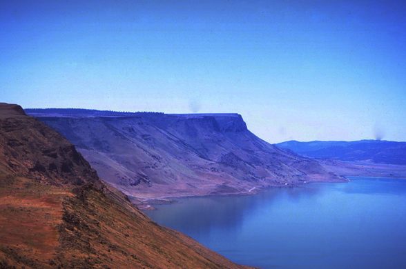
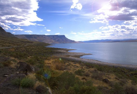
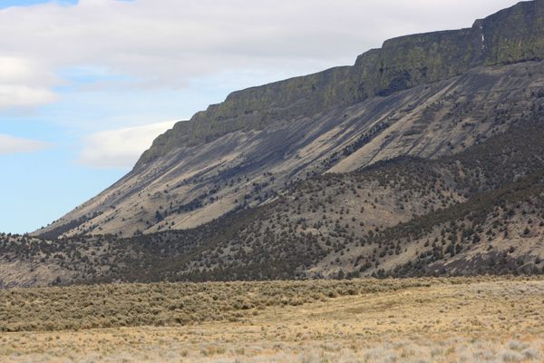
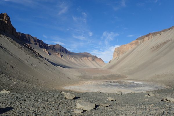
Lake Abert is bounded on the east by the high fault scarp of the Abert Rim. The lake and the rim were named for John James Abert, the head of the Corps of Topographical Engineers, by explorer John C. Frémont. Frémont led an expedition through this area in 1843 under the auspices of the Corps.
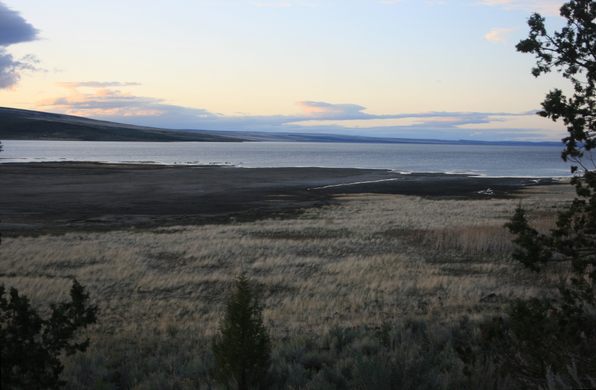
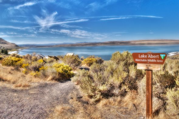
The water of Lake Abert is much too salty for fish, but like other closed-basin saline lakes such as Mono Lake and the Great Salt Lake, it supports a population of brine shrimp. These shrimp are an invaluable food source for birds, and Lake Abert has traditionally been an important stopover for migrating waterfowl on the Pacific Flyway.
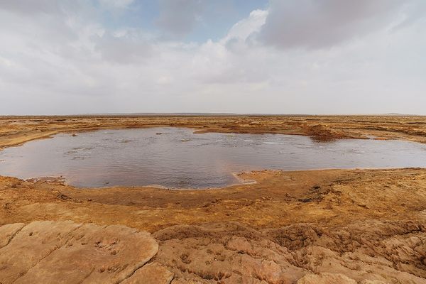
In recent years, however, water inflow has dwindled to the point that the brine is too salty even for the shrimp. The lake has even dried up completely several times. Drought, possibly exacerbated by climate change, has decreased the water inflow. But the main problem, as with other shrinking saline lakes, is upstream diversion of the water that feeds them.
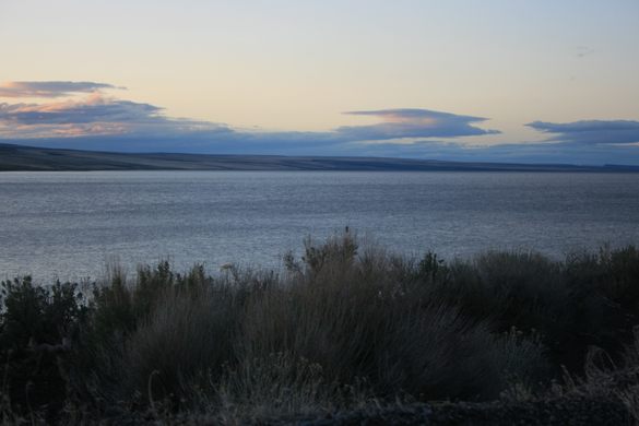
The main water supply for Lake Abert is the Chewaucan (pronounced “SHEE-wah-cuhn”) River, a landlocked river that rises in the Gearhart Mountains to the southwest. The Chewaucan is diverted for agriculture, and much of its flow is stored in a reservoir just upstream of Lake Abert.
Landlocked rivers, and the saline lakes they feed, occur elsewhere in the Great Basin, but farther to the south in Nevada, Utah, and California. This occurrence, however, is unique in Oregon. Hopefully a way will be found to preserve it.
Know Before You Go
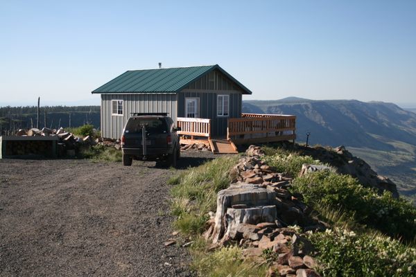
US Highway 395 runs along the eastern shore of the lake with multiple viewpoints and access points. For the venturesome, some primitive 4wd roads access the western shore; consult an atlas, and realize they are likely to be washed out.
The nearest fuel is in Valley Falls, Oregon a few miles south at the intersection of Oregon State Route 31 and US-395.


Plan Your Trip
The Atlas Obscura Podcast is Back!


Follow us on Twitter to get the latest on the world's hidden wonders.
Like us on Facebook to get the latest on the world's hidden wonders.
Follow us on Twitter Like us on Facebook