The Chesterfield-Staveley Cruiseway
This 8km stretch of isolated canal is gradually being extended towards its reconnection with the national canal network.

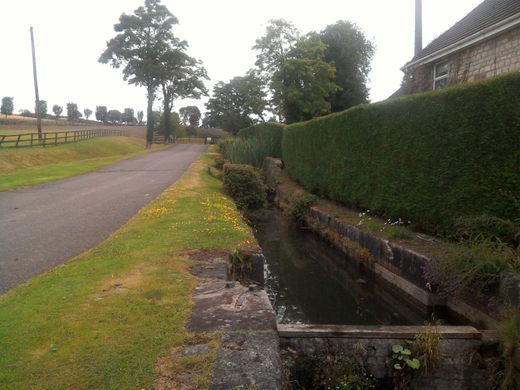
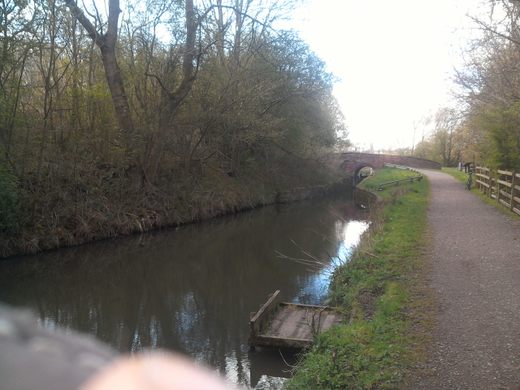

This waterway is the restored part of the inland section of the historic Chesterfield Canal (completed 1777) which was isolated from the rest of the British inland waterways network by a tunnel collapse in 1907.
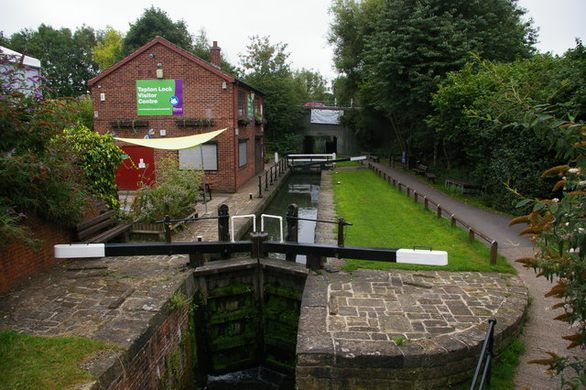
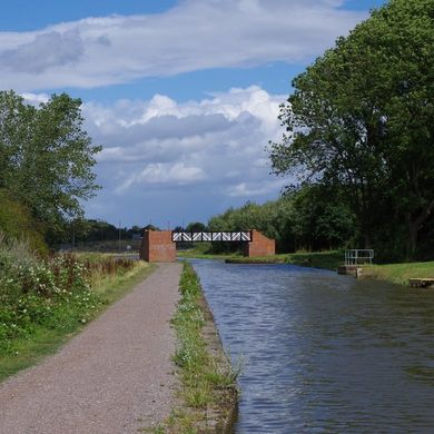
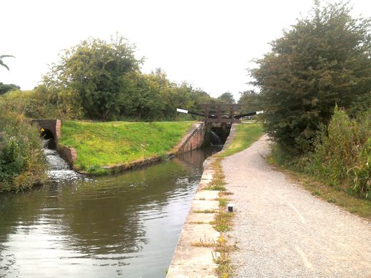
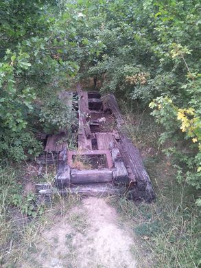
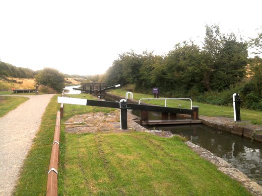
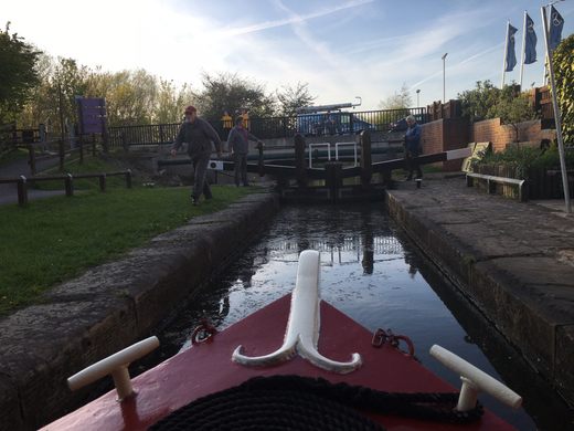
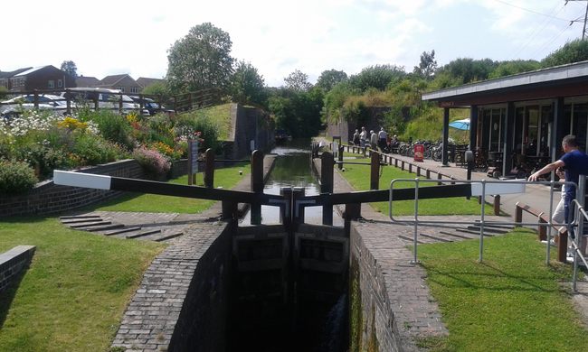
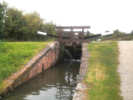
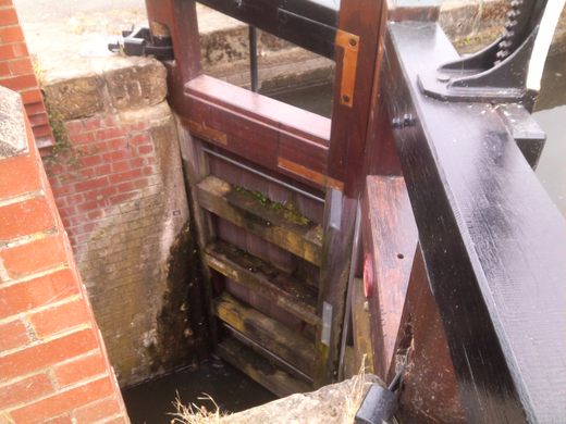
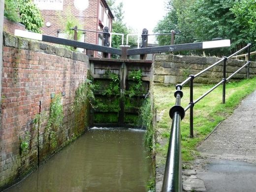
In 1987, the short remaining length of this section of canal which actually held water was only being used to convey water to a steelworks for cooling purposes. Much of the rest had been largely destroyed by infilling and surface coal mines. All the locks were cascaded and back filled with brick rubble or solid concrete. In that year the local highways authority, Derbyshire County Council, planned to destroy any hope of restoring this canal by constructing a byepass road over it at roughly water level. The authority had purchased the canal for this purpose. The resulting furore and a massive local petition achieved a reprieve for this part of the canal. Following this a remarkable volunteer-based restoration project started with the restoration of Tapton Lock on the outskirts of town and, to date, the restoration project has progressed 8km about half way to its ambitious target which is to join up with the operational part of the Chesterfield Canal in Nottinghamshire at the Giant’s Staircase series locks (http://www.atlasobscura.com/places/the-giants-staircase-chesterfield-canal ). The County Council has now wholeheartedly embraced the project. It encourages use of the length of the canal that is restored and has recently anounced plans for both residential moorings and moorings for floating commercial enterprises.
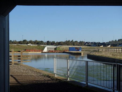
This cruiseway currently terminates just beyond the town of Staveley and hence the name, the Chesterfield-Staveley Cruiseway. Government funding has just been awarded to develop the land around the Staveley Town mooring basin as a tourist and commercial development.
In a parallel development the area around the former Chesterfield Canal inland terminus is being developed as a residential, retail, restaurant and office development with a new canal basin at its heart and plans are well underway to dredge the canal and the River Rother (which formed the first mile of the waterway) upstream of the current limit of navigation and to create a new lock to connect to the waterway.
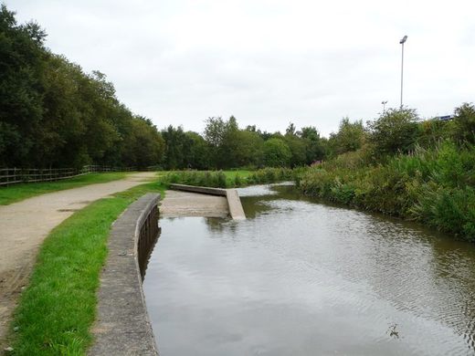
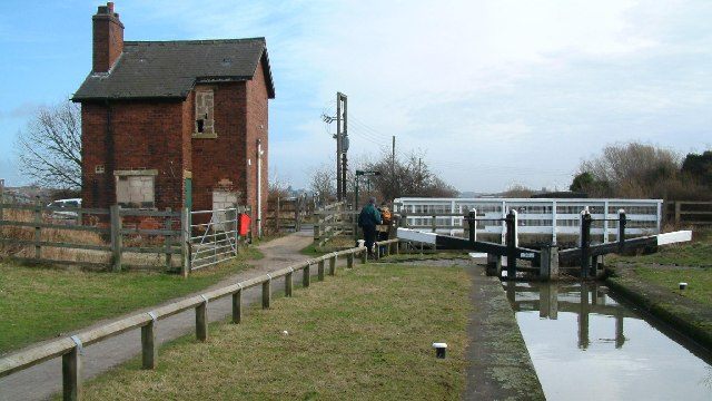
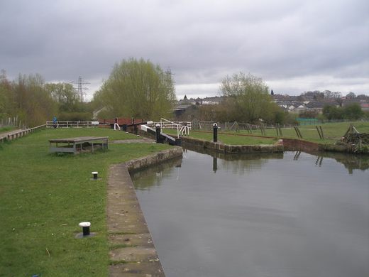
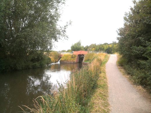
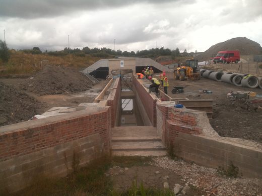
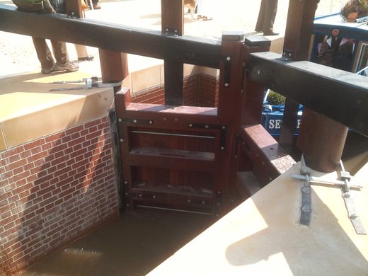
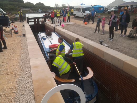
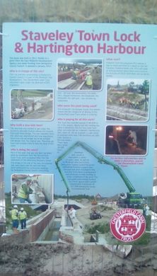
The restoration of this 8km section of canal between 1990, when Tapton Lock was opened, and the present day position has resulted in the restoration of 3 additional derelict locks and the construction of two new locks, one to replace one destroyed by surface coal mining and the Staveley Town Lock, which has been constructed at the outlet of the basin to lower the canal level to take the waterway under a railway line (which had been constructed after the canal was closed to traffic). Additionally a length of over 1km has been totally reconstructed after being destroyed by surface coal mining. The most recent area to complete construction is called Harrington Harbour, a somewhat humorous name given by the work team to a simple turning bay just below Staveley Town Lock.
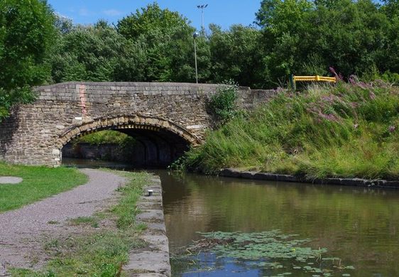
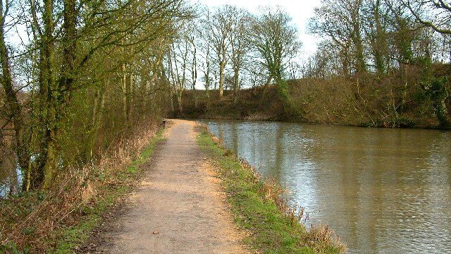
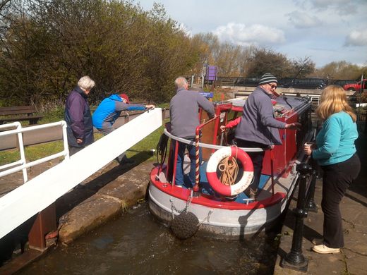
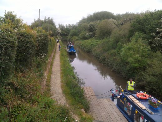
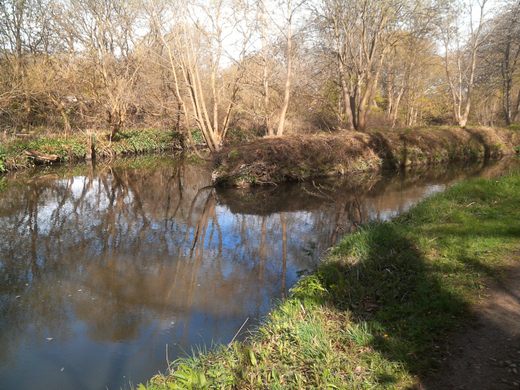
Being isolated from the network boating is limited (except during boating festivals) but as well as boating, the cruiseway is currently used for kayaking and fishing and provides an important wildlife corridor. The towpath is also part of a footpath/cycleway linked to part of the Trans-Pennine trail coast to coast route but the real importance of this canal is its history. It was the last project ever designed by canal pioneer James Brindley. The waterway is an idyllic setting for whatever water based activity you favour and is a tribute to the hundreds of volunteers that have laboured for nearly 30 years to get this stretch of canal into its current state. The death of both the steel industry and coal mining the area is now becoming an attractive rural waterway rather than the, highly scarred, industrial water supply channel that it used to be.
Know Before You Go
Parking is available at several points on the cruiseway and the start of the towpath is an easy walk from Chesterfield railway station.

The Atlas Obscura Podcast is Back!


Follow us on Twitter to get the latest on the world's hidden wonders.
Like us on Facebook to get the latest on the world's hidden wonders.
Follow us on Twitter Like us on Facebook