AO Edited
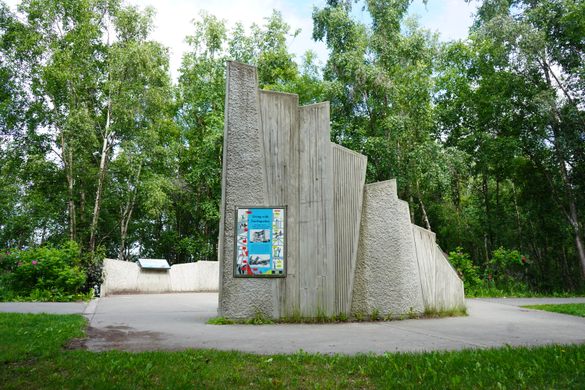
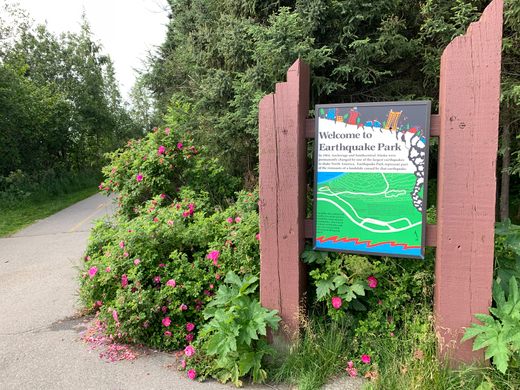
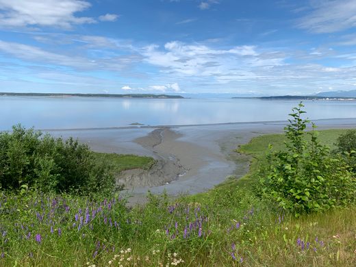
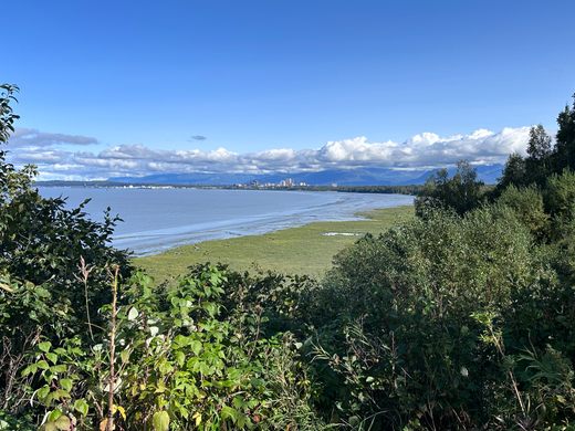
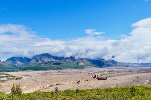
Earthquake Park
The now-serene site of the largest earthquake ever recorded in North America.


It took just three minutes to forever change Anchorage’s landscape. On the evening of March 27, 1964, the largest earthquake ever recorded in North American history devastated the city and left a profound and lasting effect on earth science.
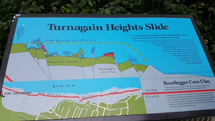
The Good Friday Earthquake, as it’s sometimes called since it occurred two days before Easter, swiftly buckled the ground underneath, leaving a craggy, unrecognizable landscape. The neighborhood known as Turnagain Heights slid into the ocean, while some of the largest buildings in the city, including JC Penney, were demolished. Tsunamis that followed the 9.2-magnitude quake caused waves up to 20 stories high and wreaked havoc on the region.
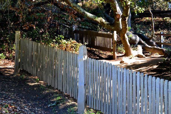
But out of the rubble came a place of peace and perspective. Today, Earthquake Park in Anchorage is a serene public space, with nature trails and scenic views that travel the coast of Knik Arm, between Westchester Lagoon and Point Woronzof. It’s also a popular connector to the iconic Tony Knowles Coastal Trail, a favorite spot for biking, walking, and wildlife viewing.
Since the quake puzzled geologists, who couldn’t understand why or how it had occurred, the United States sent three experts to examine the site. Geologist George Plafker first connected the event to the newly emerging theory of plate tectonics or the slow movement of the earth’s upper shell over billions of years. At a rate of 1.5 inches per year, the oceanic and continental crusts converge, creating slippage over time. Now, scientists could understand what led to the shifts at the earth’s surface.
From the tragedy came wide-reaching efforts to better understand seismic activity. In 1977, the USGS created the Earthquake Hazards Program. The town of Valdez, Alaska, was so unstable that the entire town was moved. NOAA tsunami warning centers, and the Advanced National Seismic System, which monitors earthquakes and provides important seismic event data, led to improved mapping and updated building codes to help save lives.
By pinpointing and monitoring active faults, and estimating which could produce earthquakes and how often they could occur, the U.S. Geological Society was able to create lasting systems to better predict and prepare for these ground-shaking events.
Know Before You Go
Access the park from downtown Anchorage along the Tony Knowles Coastal Trail, or by car. Parking is available on site.
Community Contributors
Added by
Edited by
Plan Your Trip
The Atlas Obscura Podcast is Back!


Follow us on Twitter to get the latest on the world's hidden wonders.
Like us on Facebook to get the latest on the world's hidden wonders.
Follow us on Twitter Like us on Facebook