This Map Plots the Geocoordinates You May Have Accidentally Left Behind in Digital Photos
Ross Otto mapped 140,000 photos posted on WordPress blogs using the geotags embedded within.
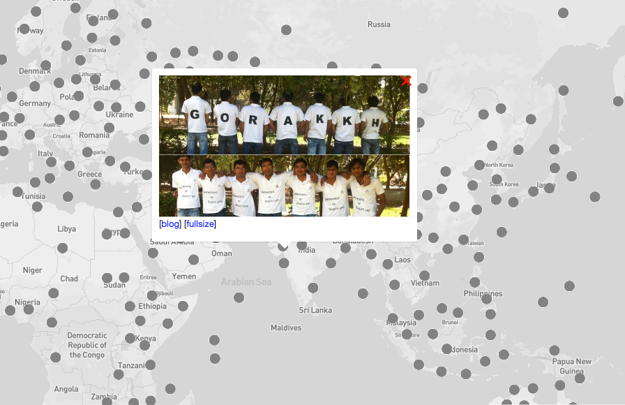
A map of geotagged photos pulled from WordPress blogs. [Photo: Screenshot of “Accidental Geography”]
The internet is an ocean of digital photos. With the ease of smartphone cameras, people snap endless numbers of pictures of their food, dogs, cats, kids, clothes, travels and everyday experiences. More than 1.8 billion digital images are uploaded online every single day, and some of these image files are embedded with metadata detailing the precise location of where that photo was taken.
The map image above is from “Accidental Geography,” which uses the GPS coordinates stored in the metadata of digital images posted to WordPress blogs to create 140,000 location points around the world—the photos unintentionally revealing unique aspects of the surrounding area in which it was taken.
“I find the geography of ordinary people’s lives to be fascinating,” says Ross Otto, a 33-year-old computational psychology researcher at McGill University in Montreal, who spent the last two years building “Accidental Geography.” “You can get this weird idea of what a place is like by looking around at pictures.”
When you click on a point in the map, a picture pops up with a little caption and a link to the original blog where it appeared. You can view suede stilettos in Madrid, crystal clear beaches in Golds Coast, Australia, children’s classroom art in Zaragoza, Spain, and an attendee enthusiastically posing with Thor’s Hammer at a comic convention in Calgary.
However, people who posted these photos to their WordPress blogs may have been unaware that their smartphones and digital cameras have a built-in GPS with geotagging, the tool that automatically adds the latitude and longitude of where a photo was taken to the file. While geotags can be helpful for photo enthusiasts and travelers who like to refer back to their records to find out where a picture was taken, the feature has also been under scrutiny for its security issues in the past. The information can easily be extracted, spilling the whereabouts of celebrities, soldiers, and fugitives.
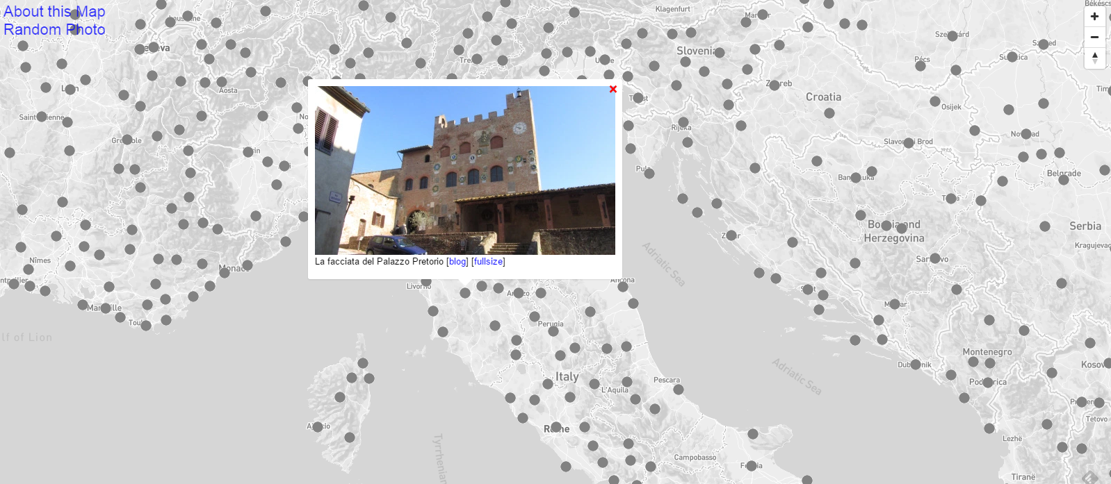
Sometimes geotags are useful for travel bloggers and professional photographers. But some people may not realize the feature is on. [Photo: Screenshot of “Accidental Geography”]
In 2012, Otto read about an interview that Vice had conducted with anti-virus program developer and fugitive John McAfee. Vice posted the article “We Are With John McAfee Right Now, Suckers,” which includes a picture of McAfee and then Vice editor-in-chief Rocco Castoro taken with an iPhone 4S. However, the photo was accidentally embedded with data indicating their exact location in Guatemala.
Thanks to a single photo, all parties were suddenly in an uncomfortable, tricky situation. Everyone looking for McAfee knew that he had been chilling with Vice along the Rio Dulce, near the Ranchon Mary restaurant, by a swimming pool. (The coordinates have since been stripped of the image.)

Vice accidentally revealed McAfee’s location when he was on the run. [Photo: Gage Skidmore/CC BY-SA 2.0]
“Many of us don’t realize that when we take a phone, our phones record the precise location of the device at the time,” says Otto. “I really think [the map] highlights issues about how careless people are about using personal technology. So many of the pictures on here are taken by bloggers who don’t even reveal their real names, but their photos often reveal where they live within a few meters.”
Five years ago, when he lived in Austin, Texas, Otto listened to the radio show of a food blogger who held contests on his website. The blogger would take an ambiguous picture of a restaurant or food spot around Austin, post it to his site, and prompt people to guess the location to win a free meal. When Otto saw the photos, he discovered that they had been taken with an iPhone, and the exact location of the restaurants could be found simply by downloading the photos and viewing the coordinates within the file in Preview or any other photo viewing program.
“I kept gaming the system and taking my friends out to dinner, and he never figured it out,” he says.
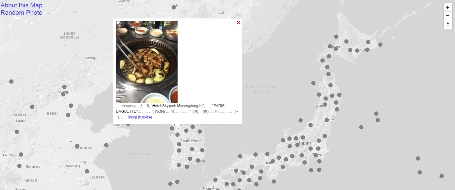
A meal in Seoul, South Korea. Food pictures are commonly found on the map [Photo: Screenshot of “Accidental Geography”]
This led Otto to believe that perhaps there were all sorts of photos on the internet that might be unwittingly geotagged. He had also previously enjoyed sifting through photos around places on Google’s Panoramia, a map and site for sharing geotagged photos that will soon face its demise, which further prompted Otto to start scraping photos and GPS coordinates as a side project.
Since there was no way to riffle through all the billions of photos to see if they had been geotagged, Otto focused on WordPress, which supports 76.5 million blogs according to a recent count. He spent about two years gathering WordPress sites, systematically feeding thousands of the most common words people use into his program. While 71 percent of WordPress blogs are in English, Otto had to find entries in different languages to populate photos in different countries. He then plotted all the points using the mapping platform Mapbox to get the final product.
“It’s a snapshot of what the internet was like in 2015,” he says.
Otto found some expected and surprising trends among the photos. Many of the pictures he came across were about food and eating around the world, cooking and traveling blogs being a popular fad. He also saw photos of grassroots political movements, and medical diary blogs documenting the progression of a health problem. Otto was fascinated by “the commonality across all these places in the world in terms of experience,” he says.

A screenshot of the warning that popped up on my Android phone camera app. The geotag feature was automatically turned off on my phone.
Otto also hopes that “Accidental Geography” raises awareness about the privacy and security in our digital age. Among the perfectly posed food pictures, pristine landmarks, and private collections, there are pictures of a house in suburban Atlanta and children on playgrounds in Arizona. “The map highlights peoples’ ignorance of what sorts of data mobile phone camera capture, and how to turn those features off.”
By default, the iPhone camera app is set to record the geolocation of where photos and videos are taken, and disabling the function involves going through several steps and menus. On Android phones, the geotagging feature should be automatically set off, but it’s always best to double-check by going to the camera app and clicking on the “Settings” button.
While the map may make us second guess what information we are truly sharing when we post photos online, it also grants us a new look at the world.
“I think there is a whole collective narrative that [the map is] telling when you’re looking at these pictures,” says Otto. “At some level it kind of shows how similar everyone is.”


Follow us on Twitter to get the latest on the world's hidden wonders.
Like us on Facebook to get the latest on the world's hidden wonders.
Follow us on Twitter Like us on Facebook