Verdenskortet
A walkable map of the world, made from soil and stone by one man.


Circumnavigating the globe on foot sounds like a tall order - requiring commitment of years of one’s life, some serious logistics planning, and an unshakeable determination to put one foot in front of the other for as long as it takes. For those keen on the idea but not the long haul, there’s Verdenskortet (Map of the World) in Denmark.
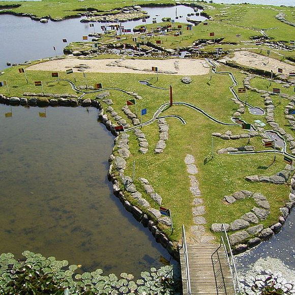
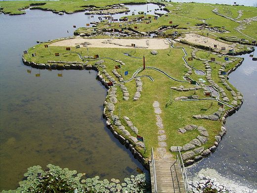
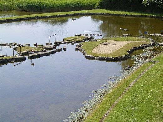
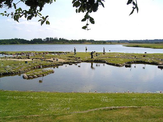
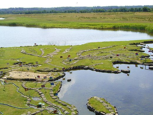
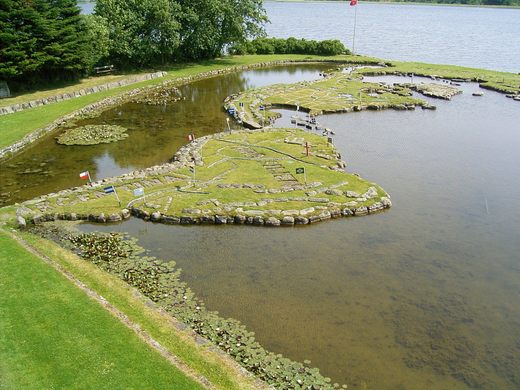
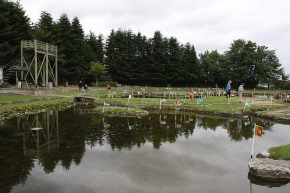
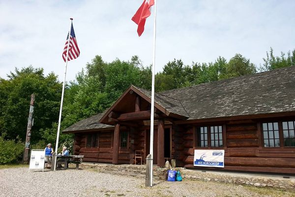
At the Verdenskortet attraction, visitors can march across all the world’s countries in a matter of minutes and then have a cup of coffee and a pastry at the adjoining cafe. Amazingly, the outdoor atlas was constructed entirely from soil and stone. Even more amazingly, it’s all the work of one man.
Søren Poulsen was born in 1888 on the property and moved to the United States when he was a young man. After 20 years abroad, he moved back to the family farm on the banks of Lake Klejtrub. Following a failed orchard grove venture, he turned his attention in 1944 to the project that would consume him until his death at 81 years old in 1969.
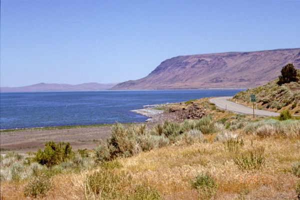
Always interested in geography, Poulsen decided to lay out the entire world through shaping a small peninsula on the lake. He did so with the use of a few simple tools (a wheelbarrow, a pushcart, handtools) and a whole lot of ingenuity - some of the stones he single-handedly hauled to the site weigh more than a ton.
The finished map measures 45 by 90 meters, and is entirely to scale - each 27 centimeters corresponds to 111 real-world kilometers. It has become a popular family attraction in the Viborg area, as visitors take the opportunity to play minigolf along the shore and paddle rowboats in the miniature Pacific Ocean. It’s certainly a charming site, and an Atlas Obscura if we ever saw one.
Community Contributors
Added by


Plan Your Trip
The Atlas Obscura Podcast is Back!


Follow us on Twitter to get the latest on the world's hidden wonders.
Like us on Facebook to get the latest on the world's hidden wonders.
Follow us on Twitter Like us on Facebook