Trips Places Foods Stories Newsletters
Loading...
Loading...
Loading...
Loading...

No search results found for
“”

Make sure words are spelled correctly.

Try searching for a travel destination.

Places near me Random place

Popular Destinations

  • Paris
  • London
  • New York
  • Berlin
  • Rome
  • Los Angeles
Trips Places Foods Stories Newsletters
Sign In Join
Places near me Random place
All the United States California Baker Afton Canyon
AO Edited

Afton Canyon

In one of the hottest parts of the Mojave Desert, shallow bedrock forces the typically dry Mojave River to the surface in this canyon, providing a vital oasis for humans and wildlife.

Baker, California

Added By
slgwv
Email
Been Here
Want to go
Added to list
CAPTION
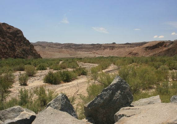
Looking south in Afton Canyon.   slgwv / Atlas Obscura User
The first ford, at the west end of Afton Canyon.   slgwv / Atlas Obscura User
Looking upstream. The Mojave makes a bend to the south here, which is blocked off from vehicle access.   slgwv / Atlas Obscura User
The easternmost of the big fords.   slgwv / Atlas Obscura User
Looking back downstream.   slgwv / Atlas Obscura User
Looking upstream in Afton Canyon.   slgwv / Atlas Obscura User
In Afton Canyon.,   slgwv / Atlas Obscura User
In Afton Canyon.   slgwv / Atlas Obscura User
railroad trestle   Avoiding Regret
train track underpass   Avoiding Regret
desert scenery   Avoiding Regret
Wrapped flotsam from a big flood, near the eastern mouth.   slgwv / Atlas Obscura User
View off to the south.   slgwv / Atlas Obscura User
Another southerly view.   slgwv / Atlas Obscura User
Dropping into the west end of Afton Canyon.   slgwv / Atlas Obscura User
A washed-out section of track, bent like a pretzel!   slgwv / Atlas Obscura User
More badlands to the south.   slgwv / Atlas Obscura User
Near the eastern mouth of the canyon, looking downstream.   slgwv / Atlas Obscura User
In Afton Canyon.   slgwv / Atlas Obscura User
Approaching the east end of Afton Canyon.   slgwv / Atlas Obscura User
Heading into the canyon from the east.   slgwv / Atlas Obscura User
Alongside the railroad.   slgwv / Atlas Obscura User
Badlands on the south wall of the canyon.   slgwv / Atlas Obscura User
A train cometh!   slgwv / Atlas Obscura User
Upstream view.   slgwv / Atlas Obscura User
Been Here
Want to go
Added to list

About

The Mojave River rises in the San Bernadino Mountains of southern California and flows north and east into the Mojave Desert, one of the driest and hottest areas in the United States. Its nominal endpoint is Soda Lake, a normally dry saline basin near Baker, California. Little wonder that water flows all along the Mojave's course only during the most extraordinary flood years!

There is one unexpected place where perennial surface water always occurs along the Mojave, however: Afton Canyon, located less than 20 miles from the river's ultimate sump in Soda Lake. The bedrock in Afton Canyon is relatively shallow, because the canyon was formed recently (geologically speaking), and the water is forced to the surface. This occurrence is of extraordinary importance for wildlife, as it was for human inhabitants and visitors. The contrast of the ragged canyon walls, often in variegated red and pink hues, with the bright green vegetation along the watercourse, makes for an especially picturesque setting.

This canyon was formed only about 25,000 years ago, when Lake Manix, a Pleistocene lake to the west that was then the sump for the Mojave, overflowed into the Soda Lake basin. Rapid downcutting ensued because much of the underlying rock was very soft. As can be seen in the photos, much of it consists of coarse sedimentary rock barely more cemented than dried mud.

Afton Canyon is also the site of a major railroad, one of a handful of rail links into Southern California. Now part of the Union Pacific, it was constructed as the San Pedro and Salt Lake Railroad in the early 20th century. When in the canyon, you can expect to see one or more trains—take care accordingly. Those occasional enormous floods down the Mojave also have at times washed out parts of the right-of-way. One of the posted pictures is of a length of track, beyond the canyon where the watercourse spreads out, that has been twisted like a pretzel.

Related Tags

Deserts Oasis Water Railroads Geology Rivers

Know Before You Go

Either end of the canyon can be accessed from primitive roads off Interstate 15. Several deep fords near the west end, however, block through traffic for all but the highest-clearance vehicles (see the photos). Four-wheel-drive is also desirable in any case. On the west side, take Exit 221 onto the Afton (or Afton Canyon) Road and proceed south. Bear left where a graded road comes in from the right about 0.6 miles in. The road will drop into Afton Canyon. There is a campground in the canyon bottom just before the first big ford.

To access the east end, take Basin Road at Exit 230 off I-15 and proceed south. After about 2.1 miles, bear left off Basin Road at a shallow junction with Sileas Road.   This junction is probably unmarked but is around 35.073958 N, 116.275518 W. Basin Road heads more westerly to some old mining sites off the canyon.   Sileas Road will intersect Mojave Road in roughly 1.7 miles (35.05204 N, 116.28674 W). You want to turn right on Mojave Road. Through here the roads tend to be vague and washed out; use the GPS coordinates as a guide. Where the road crosses under the railroad bridge (about 35.042746 N, 116.309681 W) is effectively the beginning of the canyon. Again, high clearance will be mandatory and 4wd desirable.

Community Contributors

Added By

slgwv

Edited By

Avoiding Regret

  • Avoiding Regret

Published

June 29, 2021

Edit this listing

Make an Edit
Add Photos
Sources
  • Reheis et al, Surficial Geology and Stratigraphy of Pleistocene Lake Manix, San Bernardino County, California, US Geological Survey Scientific Investigations Map SSIM 3312, 2014.
Afton Canyon
Mojave Rd
Baker, California, 92309
United States
35.024022, -116.356716
Visit Website
Get Directions

Nearby Places

Mojave Megaphone

Baker, California

miles away

Zzyzx Mineral Springs and Healing Center

San Bernardino, California

miles away

Travelers Monument

Baker, California

miles away

Explore the Destination Guide

Photo of Baker

Baker

California

Places 5

Nearby Places

Mojave Megaphone

Baker, California

miles away

Zzyzx Mineral Springs and Healing Center

San Bernardino, California

miles away

Travelers Monument

Baker, California

miles away

Explore the Destination Guide

Photo of Baker

Baker

California

Places 5

Related Places

  • Lençóis Maranhenses

    Santo Amaro do Maranhão, Brazil

    Lençóis Maranhenses Dunes

    A faux desert landscape in the middle of the jungle that sprouts oases during the rainy season.

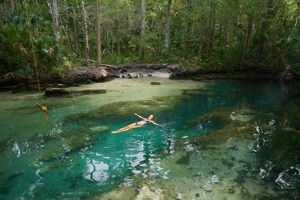
  • A swimmer floats in the pool formed by the 30-foot crack in the riverbed.

    Homosassa, Florida

    The Crack on the Chassahowitzka River

    A hidden paradise in one of Florida’s most unique rivers.

  • Sioux Falls Park

    Sioux Falls, South Dakota

    Falls Park

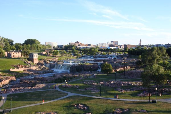
    More than 7,000 gallons of water pour over these cascading red quartzite waterfalls every second.

  • Montezuma Well

    Rimrock, Arizona

    Montezuma Well

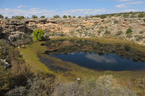
    This sinkhole in the Arizona desert is filled with carbonated, arsenic-rich water

  • Lake Yoan

    Chad

    Desert Lakes of Ounianga

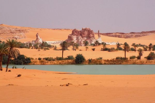
    These natural wonders have taken millennia to form into the stunning marvels they are today.

  • Viewing area at Head of the Metolius

    Camp Sherman, Oregon

    Head of the Metolius

    Approximately 50,000 gallons of water gush from these springs, creating the Metolius River.

  • Stumps along the slough in the foreground, with a sand dune behind.

    Nixon, Nevada

    Mud Slough

    As fallout from an irrigation project, a formerly cottonwood-lined stream is now a sandy, desolate, post-apocalyptic channel lined with weathered stumps and tumbleweeds.

  • Marker of the Eastern Subcontinental Divide.

    Atlanta, Georgia

    Eastern Sub-Continental Divide Mural

    A little-known mural reveals the hydrological reason for Atlanta's founding in this location.

Aerial image of Vietnam, displaying the picturesque rice terraces, characterized by their layered, verdant fields.
Atlas Obscura Membership

Become an Atlas Obscura Member


Join our community of curious explorers.

Become a Member

Get Our Email Newsletter

Follow Us

Facebook YouTube TikTok Instagram Pinterest RSS Feed

Get the app

Download the App
Download on the Apple App Store Get it on Google Play
  • All Places
  • Latest Places
  • Most Popular
  • Places to Eat
  • Random
  • Nearby
  • Add a Place
  • Stories
  • Food & Drink
  • Itineraries
  • Lists
  • Video
  • Podcast
  • Newsletters
  • All Trips
  • Family Trip
  • Food & Drink
  • History & Culture
  • Wildlife & Nature
  • FAQ
  • Membership
  • Feedback & Ideas
  • Community Guidelines
  • Product Blog
  • Unique Gifts
  • Work With Us
  • About
  • FAQ
  • Advertise With Us
  • Advertising Guidelines
  • Privacy Policy
  • Cookie Policy
  • Terms of Use
Atlas Obscura

© 2025 Atlas Obscura. All Rights Reserved.