About
As you drive across State Route 20 in California's Central Valley, you'll be able to spot an outcropping of domed peaks abruptly rising out of the plains. The Sutter Buttes lie 50 miles north of Sacramento and are sometimes called the world’s smallest mountain range.
However, the buttes are technically not mountains, but rather hills topped by eroded domes formed by volcanic activity 1.6 million years ago. Sutter Buttes' highest point is 2,122 feet high, a dramatic contrast to the flat agricultural lands that stretch out past the buttes for miles.
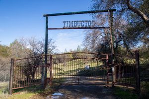
The Buttes, and the neighboring town, are named after Captain John Sutter, who received a large land grant from the Mexican government in the 19th century. The Maidu people, who call the buttes "Histum Yani" or "Esto Yamani," believe their spirits rest thereafter death before journeying to the afterlife. The Wintun tribe, who lived on the West side of the buttes, call the buttes "Onolai-Tol." Both the Maidu and Wintun names translate roughly to "The Middle Mountains".
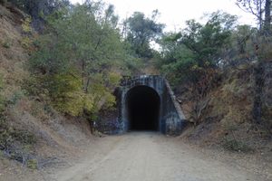
Most of the land is private property used by ranchers and farmers, although in 2003 the state of California purchased nearly 1,700 acres to turn into a state park. Because access crosses into private lands, much of the area is still not accessible to the public, but a drive along one of the nearby highways will allow you to experience this fascinatingly stark geological phenomenon.
Related Tags
Community Contributors
Added By
Published
July 7, 2017