Antarctica Is Covered in Streams and Waterfalls
Scientists have mapped the continent’s meltwater systems for the first time. They also make for good video.
It’s not that scientists didn’t know there were streams and waterfalls in Antarctica. Over decades of research on the frozen continent, researchers have documented the occasional stream of meltwater flowing across the icy surface. But no one had ever done a systematic survey of Antarctica’s meltwater systems.
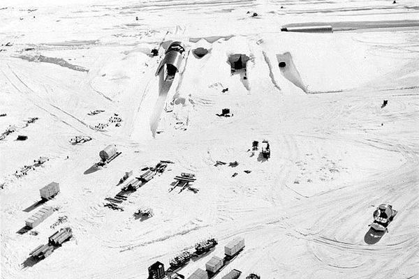
When a group of scientists based at Columbia University looked through military photos dating back to 1947 and satellite images dating back to 1973, they found that our previous understanding of the Antarctica’s meltwater only included a fractions of the streams, ponds, and channels that cover the continent.
Antarctica, it turns out, is covered in meltwater that pools, trickles, streams, and roars across the ice. The study, the first to extensively map meltwater, found 700 seasonal systems of ponds, channels, streams.
Although these are longstanding, if previously unknown, features of Antarctica, scientists fear that as the climate changes these meltwater systems could increasingly contribute to the break-up of the Antarctic ice sheets. Meltwater from more stable parts of the ice sheet could flow toward the melting ice shelves on the continent’s edges and encourage them to break off.
On the other hand, in some places, drainage may be crucial to keeping the ice shelves intact. On the Nansen Ice Shelf, for instance, one group of scientists reports in Nature, a waterfall pulls the meltwater away from the ice surface, keeping it from pooling and damaging the ice shelf.


Follow us on Twitter to get the latest on the world's hidden wonders.
Like us on Facebook to get the latest on the world's hidden wonders.
Follow us on Twitter Like us on Facebook