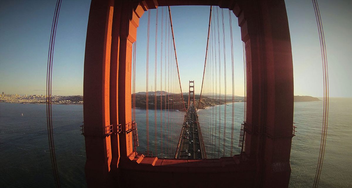
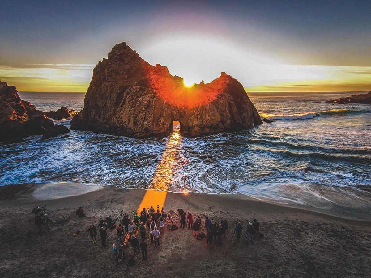
The top of the Golden Gate Bridge stands 746 feet above the strait between San Francisco Bay and the Pacific Ocean. From that height, when the Bay Area’s famous fog has cleared, the city’s skyline shimmers in the distance and tiny cars seem to creep along six lanes of road below. It’s a view that few, save bridge workers and birds, have ever seen—until, that is, the drones came along.
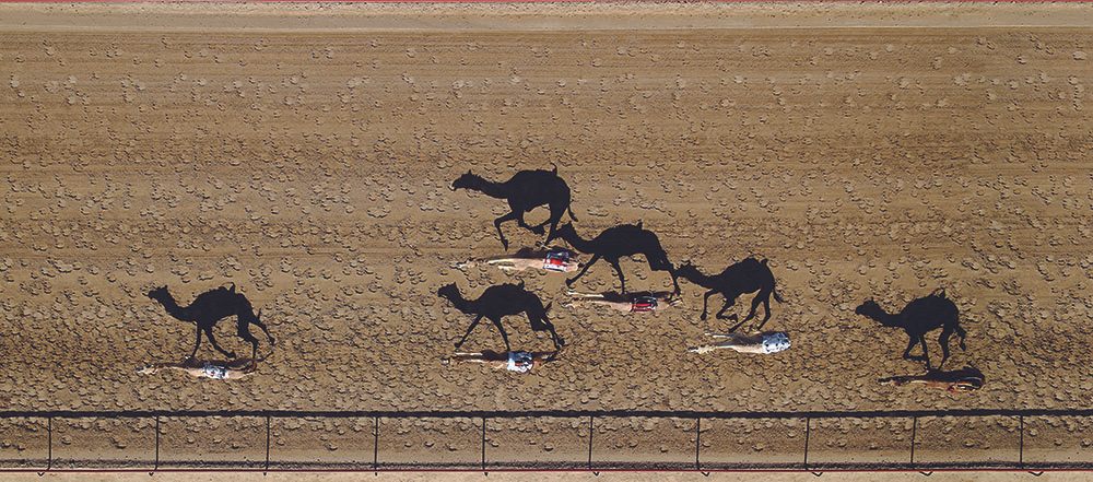
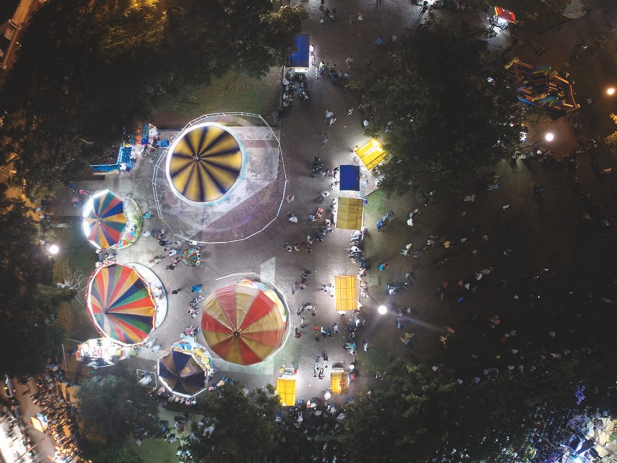
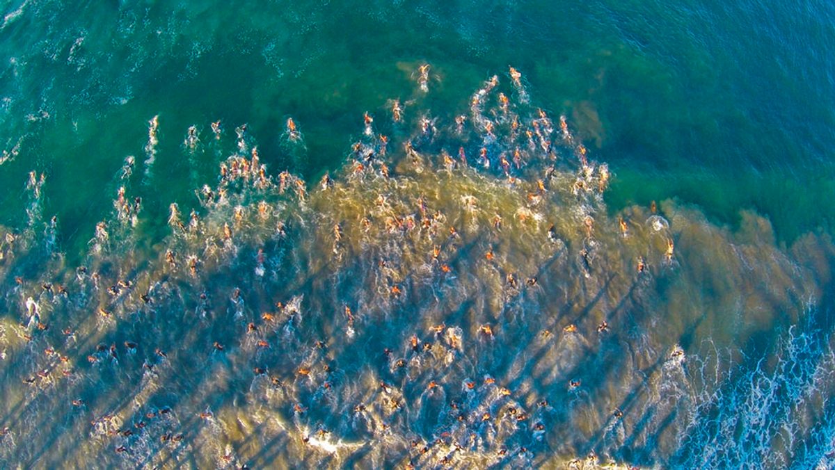
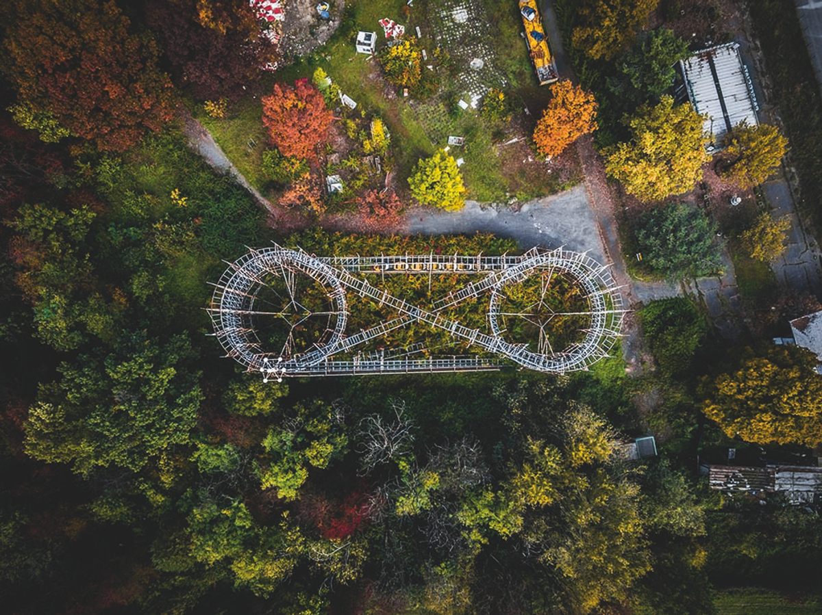
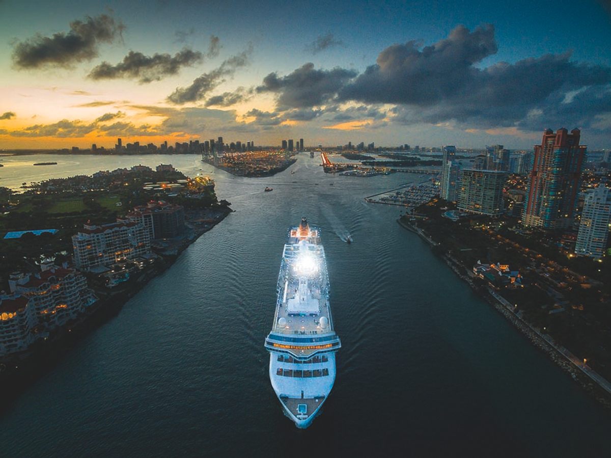
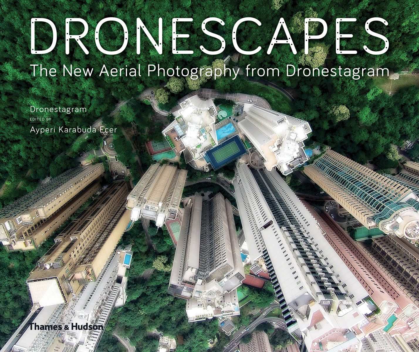
Aerial photography has a long history, but drones and sturdy, high-resolution digital cameras have introduced a new way of seeing the world from above, and made the perspective more accessible than ever before. “It is so different from images taken by satellite or plane or helicopter or, on the other hand, street view images,” says Dronestagram founder Eric Dupin. An active drone photographer, Dupin launched Dronestagram in 2013 after he realized there were few online communities just for this new breed of aerial photographer. Within two years, it reached 30,000 users and now a new book is showcasing the best of their work.
Although drones have democratized aerial and elevated photography, there are still important limitations. Regulations have been introduced to protect wildlife, aircraft, and even celebrities from the intrusion of camera-carrying drones. The biggest challenge for Dronestagram user GotShots, however, was the notorious, unpredictable weather around the Golden Gate Bridge. As he details in the book, he spent six months returning to the site for the right conditions to capture a shot that would have once been impossible, even with aerial photography.
We depend on ad revenue to craft and curate stories about the world’s hidden wonders. Consider supporting our work by becoming a member for as little as $5 a month.
ATLAS OBSCURA BOOKS
A Visual Odyssey Through the Marvels of Life
Venture into Nature's Unseen Realms with Our New Book Atlas Obscura: Wild LifePre-Order Now
Thanks for sharing!
Follow us on Twitter to get the latest on the world's hidden wonders.
Like us on Facebook to get the latest on the world's hidden wonders.
Venture into nature's unseen realms with our new book Wild Life. Explore hidden ecosystems & discover incredible species. Free luggage tag with every pre-order.


Follow us on Twitter to get the latest on the world's hidden wonders.
Like us on Facebook to get the latest on the world's hidden wonders.
Follow us on Twitter Like us on Facebook