The Strange, Bitter 19th Century Debate Over Where Toledo Was
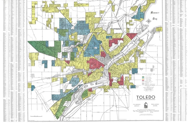
From a different era of Toledo: redlining maps. (Courtesy of Ohio State University Libraries,)
From our smug (though extremely temporary) perch atop history, we can safely say that we know exactly where the U.S. city of Toledo is: It’s in Ohio, of course. But in the 1800s, the answer wasn’t so easy—and the resulting battle was incredibly bitter.
Michigan and Ohio share a border and in 1800s they also shared something else: an unwavering, unassailable belief that Toledo belonged to their state, and their state only. Now, looking back, it may (sorry, Toledo) seem a little surprising that the city inspired such a passionate need in both states.
But, two hundred years ago, Toledo was a much hotter property than it is today, due to its position on the newly constructed Miami and Erie canal, which both states (mostly wrongly) assumed was the key to untold riches.
What began as a border dispute escalated rapidly, until soldiers from both states were gathering to face each other down. Facing each other was, fortunately, almost the full extinct of the mostly bloodless conflict. It was finally resolved in 1837 when, as part of Michigan’s deal for statehood, Ohio finally got the sole claim to Toledo.
Commenter offline-swenson has the further tale of just how the skirmish unfolded — plus the twist at the end that perhaps lets Michigan claim a late, partial victory:
If you’ve ever looked at a map of Michigan, you’ve probably noticed that rather than being a straight line, the southern border has a jog in it.
But this is not that story.
No, this is the far weirder story that you’ll discover when you look even closer at Michigan’s southern border. Look at the eastern half. Yes, it jogs south—but then instead of going straight east, it slants up north again. Whyever could that be?
Looking it up on Google Maps might give you a clue. You see, just south of Michigan’s current border is Toledo, Ohio. Back in the 1800s, Ohio was a state but Michigan was still just a lowly territory seeking entry to the Union. And in the course of this, a huge debate arose over where, exactly, Toledo was. Ohio pulled out some laws that implied it was in Ohio (and the southern border of Michigan should slant north). Michigan pulled out some different laws that implied it was in Michigan (and that part of the southern border should go straight east). I know Toledo isn’t that exciting to most people, but it was an incredibly valuable port on the Great Lakes. So whoever got control of it got all that sweet, sweet tax revenue.
Things started getting out of hand. Both Ohio and Michigan raised militias which sat on either side of the Maumee River glaring at one another. There was even an occasion where shots were fired, albeit just into the air. Each side even passed laws making it illegal for citizens from the other side to perform “governmental actions” in the Toledo Strip. Law enforcement from both sides started arresting people on the other side (for things like voting in Ohio elections). Finally, on July 15, 1835, during a scuffle over arresting an Ohioan, a Michigan deputy got stabbed. Completely non-fatally, but it was still the only blood spilled in the entire “war”.
Eventually, Congress and President Andrew Jackson were like, “this is incredibly stupid, you guys” and pressured Michigan into accepting a deal that at the time seemed terrible for Michigan—Ohio would keep the economically valuable Toledo Strip, and Michigan would get the useless Upper Peninsula.
Then, five years later, they discovered copper and iron in the Upper Peninsula and Michigan got to laugh all the way to the bank. So much for that “useless” Upper Peninsula. EAT IT, BUCKEYES.
This post originally appeared on io9, a website about futuristic culture and entertainment, bridging the gap between what’s real now and what will be possible tomorrow. For more stories, read io9.com.


Follow us on Twitter to get the latest on the world's hidden wonders.
Like us on Facebook to get the latest on the world's hidden wonders.
Follow us on Twitter Like us on Facebook