Defensiekanaal
This vast World War II defense line was the site of a fierce battle.

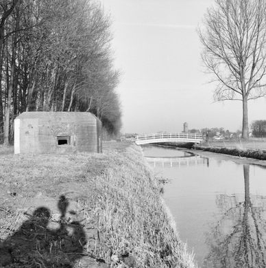
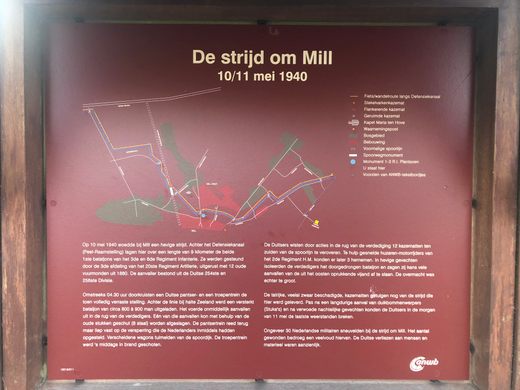

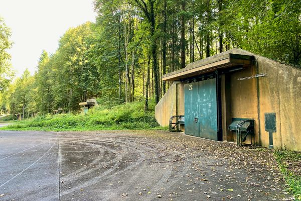
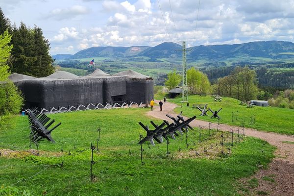
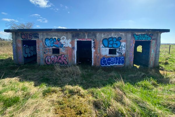
In 1939, the Dutch dug a ‘Defensiekanaal’ as an anti-tank trench, lining the 80-kilometer-long canal with trenches and casemates, enclosures from which soldiers could fire their weapons. The result was a formidable barrier that was nonetheless breached the following year.
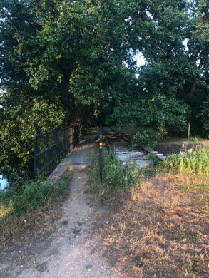
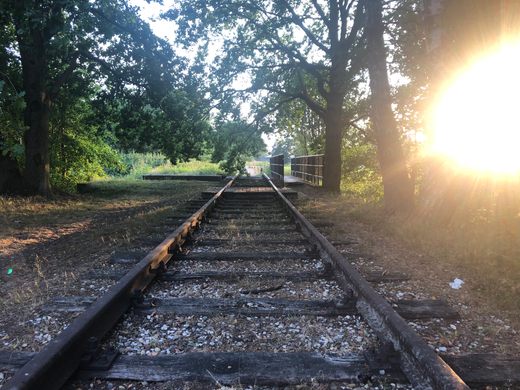
On the day Germany invaded the Netherlands, May 10, 1940, a German armored train passed through the border, over the railway bridge at the River Maas and the little bridge at the Peel-Raam defense line, unopposed. (As the nearby Dutch town of Mill sits close to the German border, a railway line connected the two nations.)
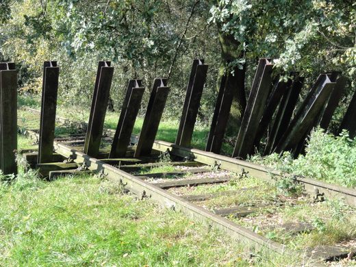
After unloading troops some kilometers west of the town of Mill, the armored train headed back towards the border. But simultaneously, Dutch engineers installed a barricade over the tracks, decking it out with mines. The armored train crashed into the barricade and partially derailed, right in front of the defense line casemates. An intense battle ensued.
Eventually, the better-trained and well-equipped Germans took out the casemates and captured or killed many of the Dutch soldiers. Official numbers say the Dutch losses consisted of 30 killed and 50 wounded. In the village, nine civilians were killed. Figures for the Germans are incomplete, it is estimated that they sustained over 500 casualties. The Dutch effort only managed to delay the German advance by a day.
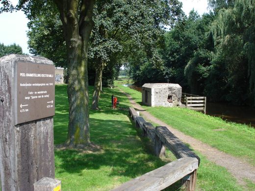
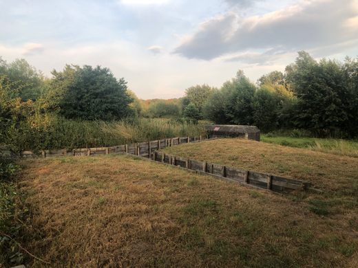
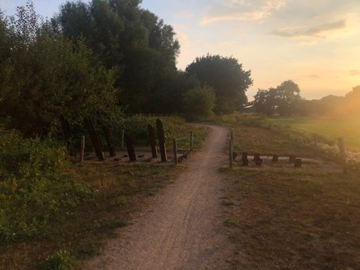
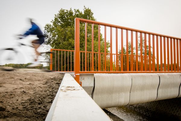
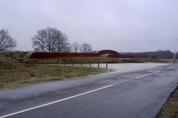
The canal and most of the 47 casemates remain in place. The rail line is gone, but a short section of rail has been reinstalled at the bridge that crosses the canal, including a mock-up of the barricade installed during the battle. Just a ways west of the bridge, you can find the original barricade and a reconstruction of the trenches, running between casemates.
Know Before You Go
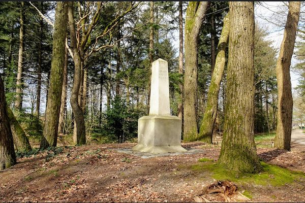
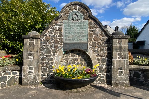
The above address and GPS location will lead you to the memorial site in the town of Mill. Here you'll find a plaque with some explanation and a few casemates. The old train bridge/derailment site is located 900 meters (about a half-mile) to the south-west. To get to the train bridge, follow the path upstream, along the casemate-lined west side of the canal. This route gives the easiest access for wheelchairs and bikes.


Follow us on Twitter to get the latest on the world's hidden wonders.
Like us on Facebook to get the latest on the world's hidden wonders.
Follow us on Twitter Like us on Facebook