AO Edited
Delaware-Maryland-Pennsylvania Tri-State Point
The meeting of the northwestern corner of Delaware, the northeastern corner of Maryland, and the southern edge of Pennsylvania.
Charters granted to colonies in Colonial America were based on inaccurate maps by people with little knowledge of the land, an issue that often led to property disputes between colonies. One such dispute, concerning the borders between Maryland (granted to Lord Baltimore), Pennsylvania (granted to William Penn), and Delaware (administered by the New York colony after the removal of the Dutch by force), was settled after over 100 years of litigation in the High Court Chancery in London.
The settlement of the legal disputes resulted in the hiring of astronomer Charles Mason and surveyor Jeremiah Dixon in 1763. Between 1763 and 1767, Mason and Dixon walked the border between Maryland-Pennsylvania and Maryland-Delaware, leaving a marker at each mile along the way. (Though the original purpose of this survey was to settle the property dispute, the Mason-Dixon line became better known as the boundary between the Southern states where slavery was legal and Northern states where the slave trade had been prohibited.)
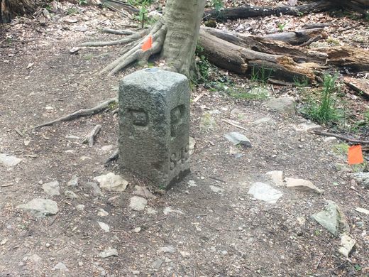
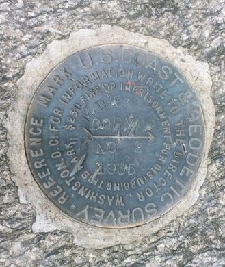
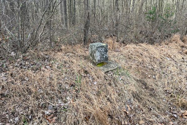
The Delaware-Maryland-Pennsylvania Tri-State Point sits at the northwestern corner of Delaware, the northeastern corner of Maryland, and the southern edge of Pennsylvania. Originally, a wooden marker was placed in 1765 by Mason and Dixon. It was replaced with a sturdier stone marker in 1849.
You can still find other markers along the Delware-Pennsylvania state line. Even after Mason and Dixon’s survey, border disputes between the two states continued until 1921 over a small area known as “the Wedge.”
Know Before You Go
The marker can be accessed by trail.
Access to the trailhead is from the Arc Corner parking lot, maintained by the Friends of the White Clay Creek Preserve. From Newark, head north on New London Road (Route 896). Approximately a half-mile after crossing into Pennsylvania, turn right onto Chambers Rock Road. After 0.8 miles, turn right onto Arc Corner Road, a one-lane gravel path. Parking is free.








Follow us on Twitter to get the latest on the world's hidden wonders.
Like us on Facebook to get the latest on the world's hidden wonders.
Follow us on Twitter Like us on Facebook