AO Edited
Hawksbill Crag
This impressive ledge seems to float above the Upper Buffalo Wilderness.

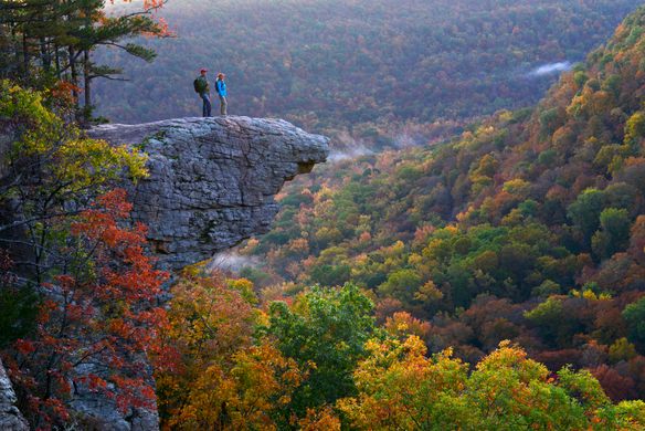
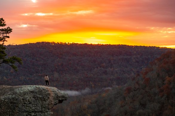
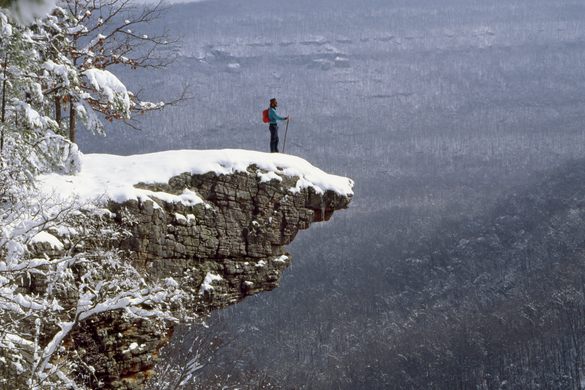

It seems to float. Jutting out from the mountain, an impossible platform hanging above the Upper Buffalo Wilderness Area. Whitaker Point, commonly referred to as Hawksbill Crag, is one of those breathtaking sights you’ll remember for a long time.
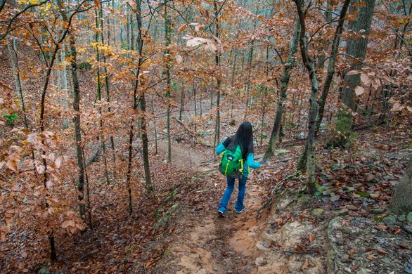
It’s a fairly short hike to Hawksbill Crag—about a mile and a half, one way—but it can be strenuous as the trail ascends, and there are several spots with steep drop-offs. Finding the trail can also be a challenge; it’s the only designated trail in the Upper Buffalo Wilderness Area, a U.S. Forest Service-managed area that spans over 12,000 acres, but it is unmarked, and the road leading to the trailhead includes a steep, six-mile unpaved road. But once you’re at the top, you’ll see why the trek was worth it.
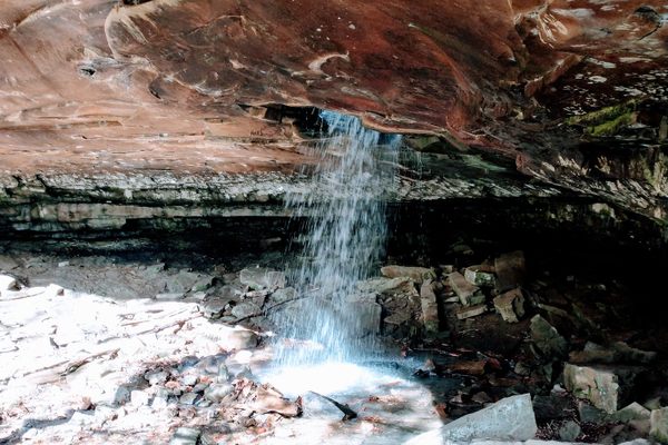
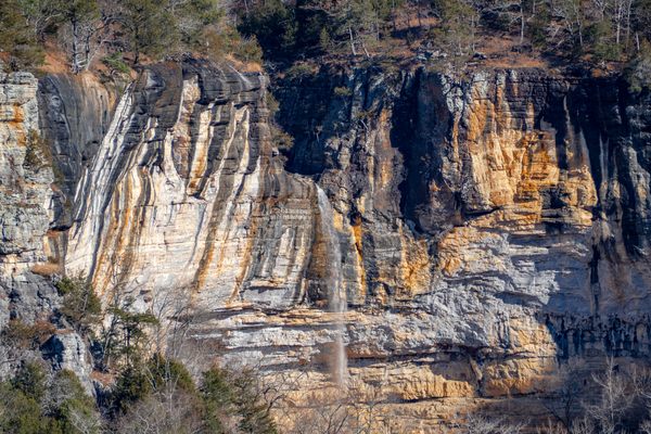
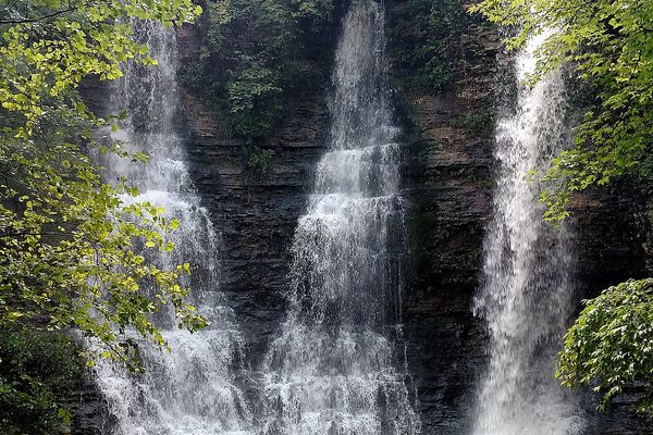
High on Hawksbill Crag, you have a panoramic view of the forest below and the mountains that surround you, a view that changes with the seasons. In the fall, you’ll catch a glimpse of oak and hickory trees, a brilliant landscape of reds, golds, and oranges. In the spring, the trail comes alive with wildflowers. And all year round, the Buffalo National River, which was the first national river in the United States, flows below. This is one of Arkansas’s most beautiful landscapes. People have long been coming to Hawksbill Crag to capture the area’s rugged, natural beauty. What this generally means is that you won’t be alone in the wilderness—this is a busy trail that sees thousands of hikers a year.
Know Before You Go
Head south on Highway 43 from Harrison and then take Highway 21 South through Boxley Valley south of Ponca. Turn right on County Road 5 (Cave Mountain Road) and travel approximately 6 miles to the trailhead. When you arrive at the Cave Mountain Church, the trailhead is 0.6 miles further. You will see a sign marker on the left of the dirt road with a big rock. Parking is on the right side or along the county dirt road.
The road getting to the trailhead is a long, unpaved, hilly trek. Cars are allowed, but trucks or 4x4 vehicles are recommended. There are sheer drop-offs at many points along the trail. Be sure to wear proper footwear. While pets are allowed, they should be leashed. The trailhead can be difficult to find, and there will likely be no cell service. Be sure to screenshot directions or carry a paper map.

Follow us on Twitter to get the latest on the world's hidden wonders.
Like us on Facebook to get the latest on the world's hidden wonders.
Follow us on Twitter Like us on Facebook