AO Edited
Hickison Summit
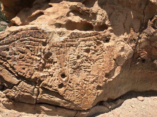
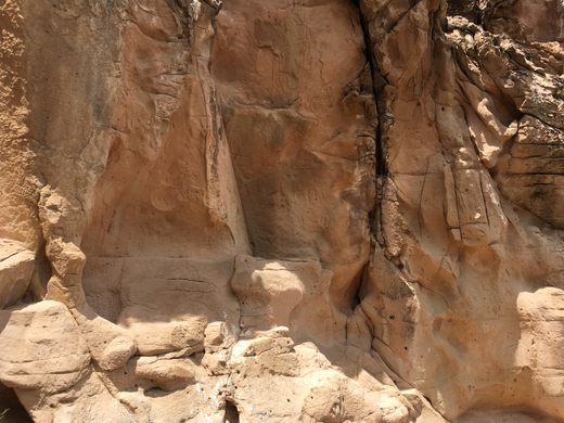
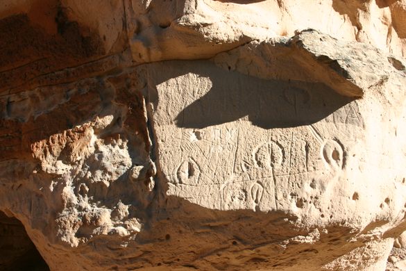
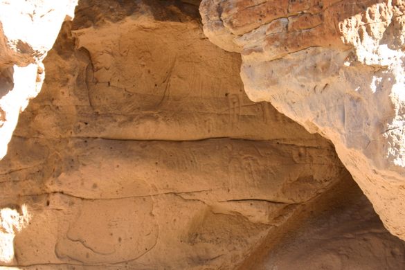
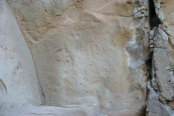
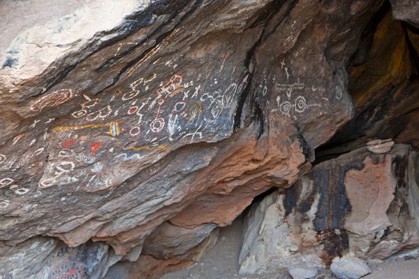
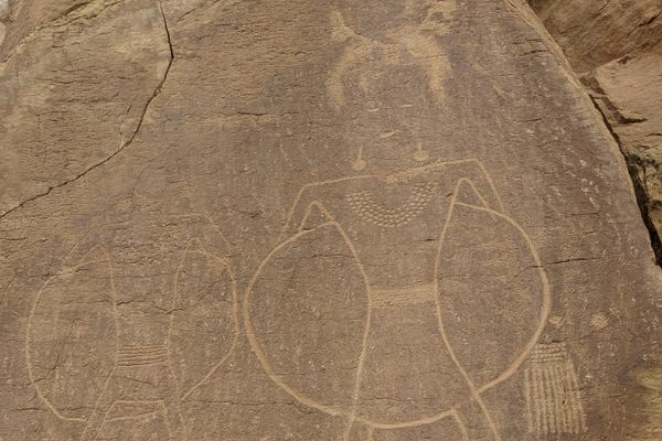
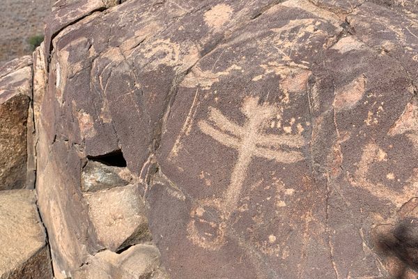
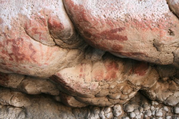
This rest area is also home to a remarkable petroglyph site.

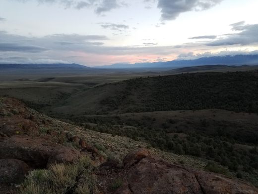
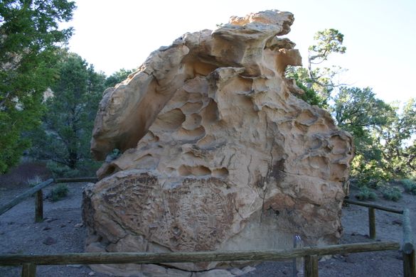
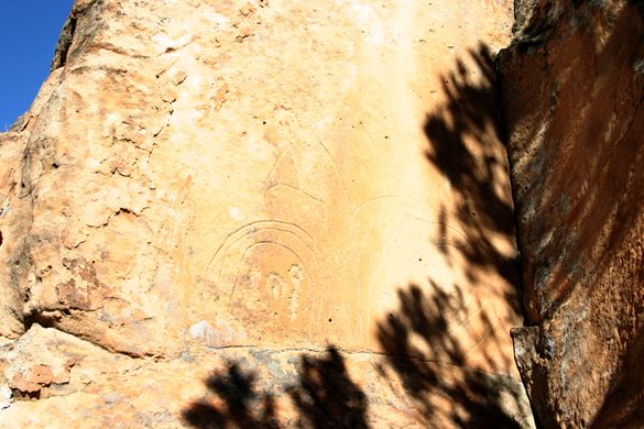

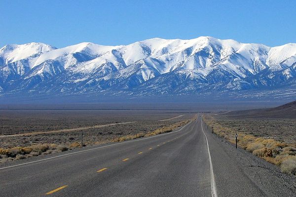
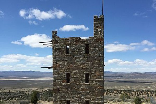
About 24 miles east of Austin, Nevada, the “Loneliest Road” crosses Hickison Summit, a relatively low pass separating the Simpson Park Mountains to the north from the Toquima Range to the south.
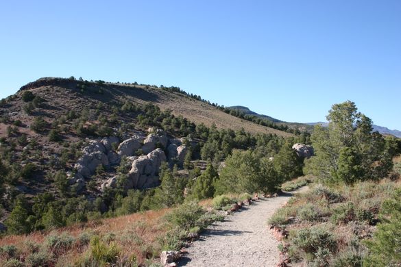
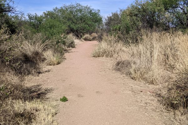
It is the site of a rest area and campground, located less than a mile off the highway, as well as several well-preserved petroglyphs. An ADA-accessible interpretive trail runs by the petroglyph sites, and a couple of short scenic trails provide views of the surrounding area.
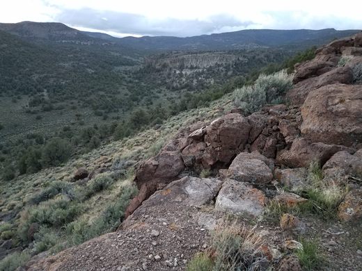
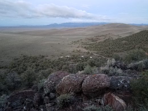
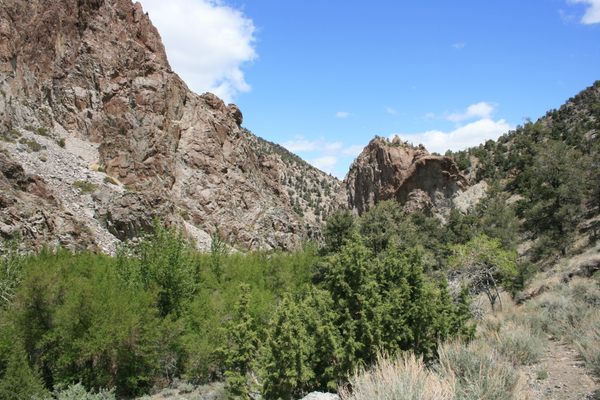
In addition, a trailhead about 1/3 mile north of the campground gives access to several loop trails, each several miles long and maintained by the Bureau of Land Management. These are open to horse traffic, as well as hikers.
Know Before You Go
The turnoff to the campground and interpretive site is well-marked. It's just east of the summit, where a graded access road runs for less than a mile to the west of US-50.
There are vault toilets at the picnic site, as well as at the campground. However, there is no water or electrical hookups, and cell phone service is nonexistent. The nearest supplies are in Austin or Eureka.


Follow us on Twitter to get the latest on the world's hidden wonders.
Like us on Facebook to get the latest on the world's hidden wonders.
Follow us on Twitter Like us on Facebook