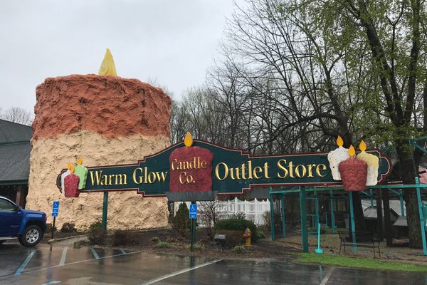
Hoosier Hill
The highest point in Indiana is curated by an Eagle scout but may be in danger of losing its record to a nearby garbage pile.

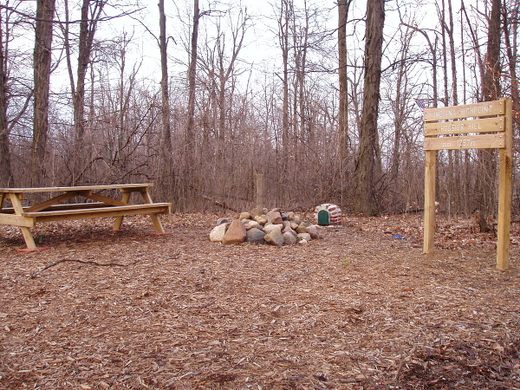
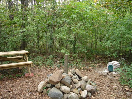
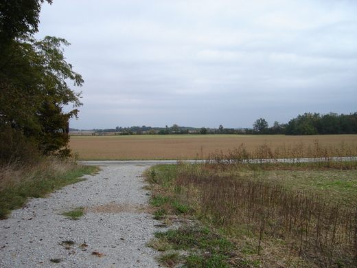
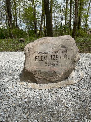
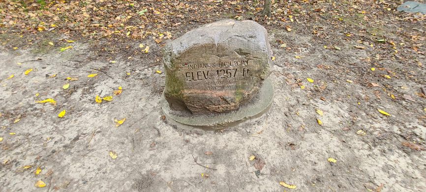


Nestled a grove of trees next to a bucolic field in Eastern Indiana stands the state’s highest point, Hoosier Hill, which, at 1,257 feet above sea level sets a record which is danger of being broken by a landfill.
The site of the peak, which actually sits on private property, was originally fenced off, requiring visitors to clim over a barrier to reach it until Boy Scout Kyle Cummings took matters into his own hands. With the permission of the landowner, Cummings landscaped and improved the site for his Eagle Scout project. He and his troop added a gravel driveway, cairn, picnic table, log book, mailbox, and a lock box with donations from local retailers and neighbors. Hoosier Hill is still on the private property of Kim Goble who graciously allows access to her farmland and grove of trees on the way to the geographic landmark.
Hoosier Hill was also the final state high point visited by A.H. Marshall, the first person to ascend all 50. However with the land being as flat as it is in Eastern Indiana, there was been some controversy in recent years as a landfill in neighboring Randolph County has requested permission to stack its garbage above Hoosier Hill’s elevation, thus potentially making the highest point a peak of refuse. It is unknown whether the garbage pile has bested Indiana’s natural peak, but it certainly is not as well cared for.
Know Before You Go
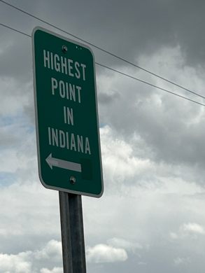
From Richmond, IN, go north on Route 227. Turn left on Bethel Road, then right on Elliott Road. Look for a grove of trees with a gravel pullout, most likely with a sign. The highest point is just inside the grove at the end of a short path.


Follow us on Twitter to get the latest on the world's hidden wonders.
Like us on Facebook to get the latest on the world's hidden wonders.
Follow us on Twitter Like us on Facebook