Hunot Gorge
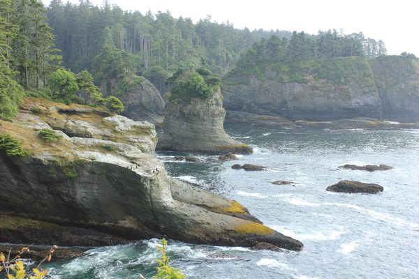
A scenic canyon with thick forests and historic ruins.


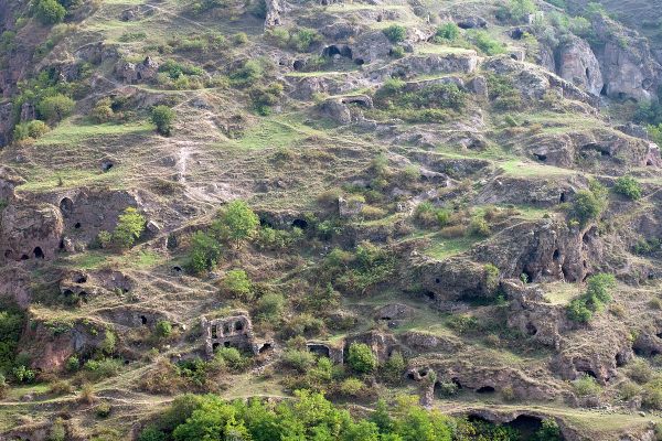
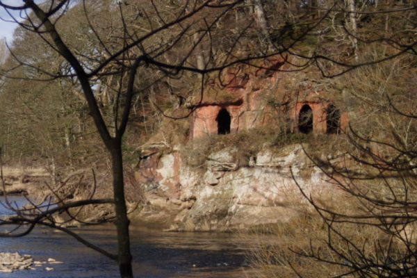
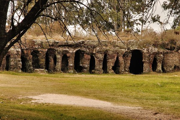
The Hunot Gorge is cut through by the Karkar River, along which Hunot village was founded in the 18th century. The village provided flour to the fortress city of Shushi for over a century until it was abandoned in 1930. But the ruins remain: Twelve of the Hunot flour mills are preserved along the river in the now state-protected canyon.
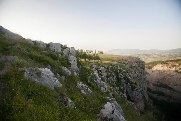
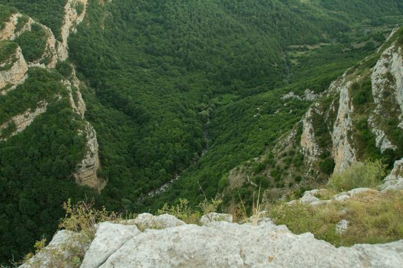
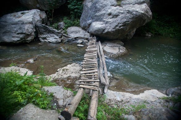
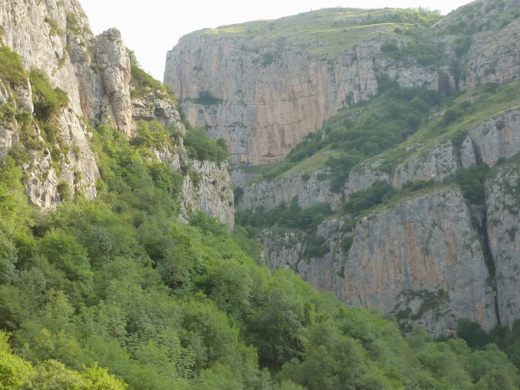
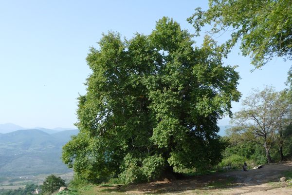
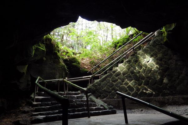
The walls of the gorge are more than 800 feet high, and from the highest point, known as the Jdrdyuz Plateau, visitors can enjoy the breathtaking view of the gorge before following one of several trails down into it. Stone Age caves and historic bridges (one of which, built in 1720, is still used) add to the beauty of the heavily forested canyon.
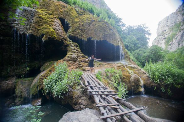
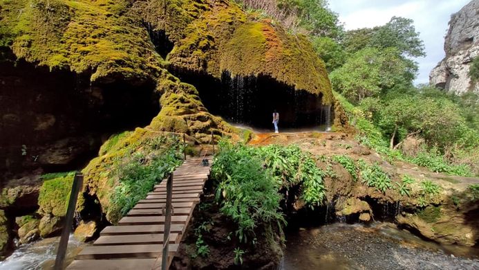
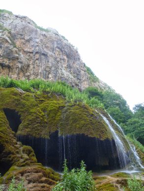
At the bottom of the gorge, overlooking a natural swimming pool, is the base of a waterfall known as Mamrot Kar, which means “Umbrella,” in reference to the shapes of the moss-covered rocks the water falls over. This waterfall is the entrance to a grotto beneath the “umbrellas,” and simple bridges made of logs and large sticks allow access to the grotto from across the river.
Know Before You Go
The trail through the canyon and past the waterfall is marked, since it is part of the Janapar Trail—a two-week walk across the disputed territory of the Republic of Artsakh. All of the locals know the spot, if you have trouble finding it most are hospitable and willing to help!


Follow us on Twitter to get the latest on the world's hidden wonders.
Like us on Facebook to get the latest on the world's hidden wonders.
Follow us on Twitter Like us on Facebook