Kings Peak
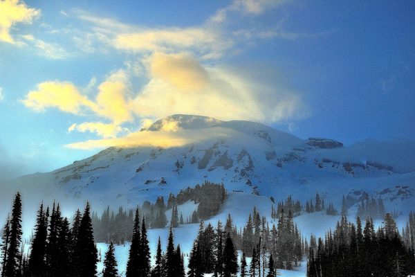
The highest peak in Utah is the hardest to reach, but only if explorers choose the hard way.
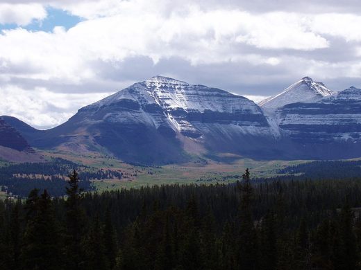
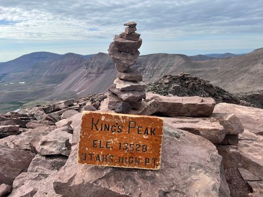
At 13,528 feet above sea level, Kings Peak is considered by highpointers to be the toughest of the 50 state highpoints that require no advanced mountaineering skills or a guide, however the multiple routes to the top allow hikers to make it only as hard as they want.
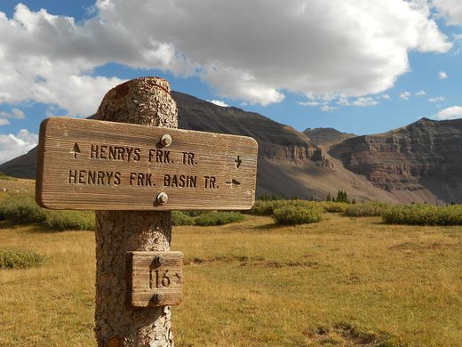
The highest point in Utah is named after Clarence King, surveyor of the Sierra Nevada and the first head of the United States Geological Survey. The standard route is a long but gentle 16-mile long trail, the Henry’s Fork Trail, which leads from Henry’s Fork Campground to the base of the summit near Gunsight Pass. From there, the final ascent is determined by the hiker. One portion of the trail continues long and leisurely around the southern slope of the peak and then up to the summit, but there is also the more adventurous option of a steep shale slide that can be scrambled up in much less time. Either way hikers choose, the views of the contrasting desert and forest wilderness all around stretches for miles.
The trail to the peak is usually hiked in two or three days, with plentiful camping opportunities in Henry’s Fork Basin and wide views of the Uinta Mountains.
Know Before You Go
From Henry's Fork Campground at the end of Forest Road 077 (GPS coordinates: 40.909115, -110.331442) hike 16 miles on the Henry's Fork Trail to the summit.








Follow us on Twitter to get the latest on the world's hidden wonders.
Like us on Facebook to get the latest on the world's hidden wonders.
Follow us on Twitter Like us on Facebook