AO Edited
Mount Argopuro
The longest hiking route on the island of Java leads to this inactive volcano.

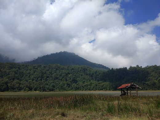
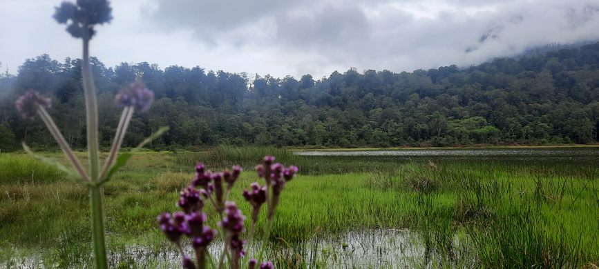

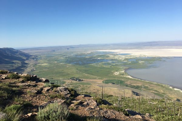
Mount Argopuro is located in the Hyang Argopuro (sometimes spelled Iyang-Argapura), which stretches in the Besuki area with an altitude of 3,088 meters. It is home to the longest hiking route on the island of Java, which is about 63 kilometers in length. The ascent takes six days and five nights.
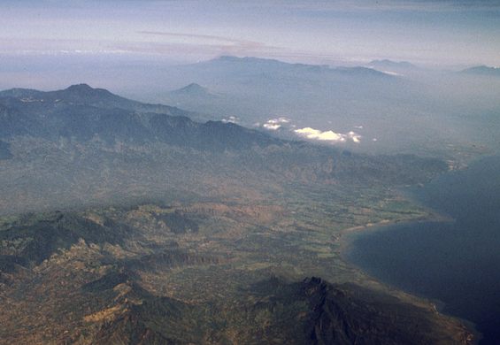
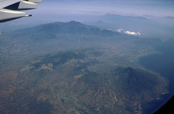
The massive volcanic complex that Mount Argopuro is part of dominates the landscape between the Raung and Lamongan volcanoes in East Java. The mountain has not had a major eruption within at least the last 500 years—though there was an unverified report of an eruption in 1597.
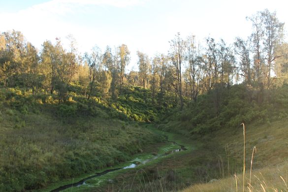
In addition, Mount Argopuro is currently a mountain that is rarely visited by climbers because it has been closed for more than a year, so many routes are still “virgin” because they are covered with shrubs, fallen trees and have to cut down bushes to break through the path.
Know Before You Go
You can do the trip to Mount Argopuro by taking a bus to Besuki City and then an ojek to the Baderan Post, which is a post to start the climb. For the use of private vehicles, you can go directly to Baderan Post, but make sure you use a 4WD vehicle considering the difficult terrain.
Based on the level of difficulty Argopuro has a rating of number 9, which is one level below Mount Semeru (Mahameru Peak, The highest mountain on the Java Island). The long route at Argopuro requires bringing sufficient supplies, while the terrain is covered with fallen trees, wild trees and intermittent paths that cause climbers to get lost frequently.


Follow us on Twitter to get the latest on the world's hidden wonders.
Like us on Facebook to get the latest on the world's hidden wonders.
Follow us on Twitter Like us on Facebook