AO Edited
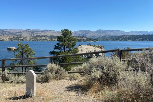
Quail Creek Reservoir
An unprepossessing storage reservoir in southern Utah has a checkered past.

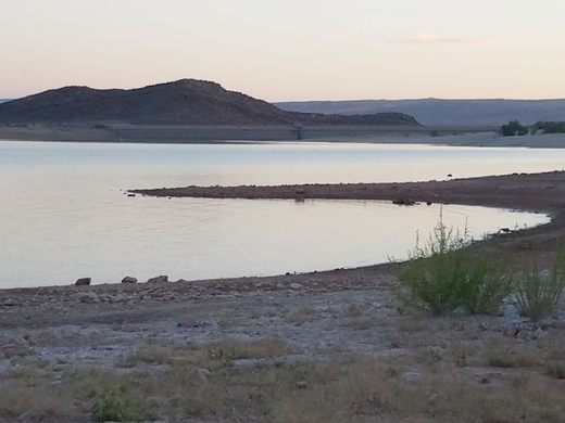
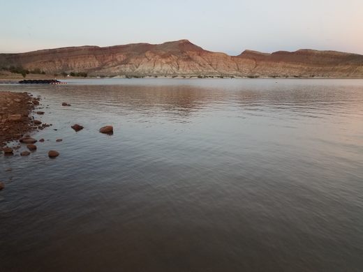
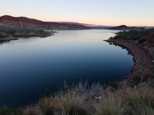
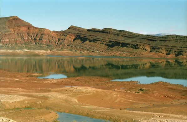
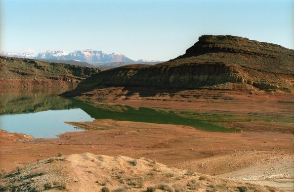
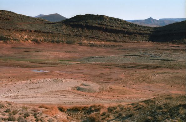
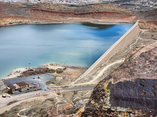
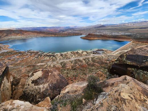

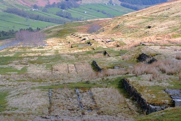
Quail Creek Reservoir, on Quail Creek in southern Utah, looks to be a typical small storage reservoir in the arid West, complete with marinas, bait shops, and boat-launch ramps. It has an unusual history, however: this reservoir caused a catastrophe, which nonetheless could have been much worse, in the late 1980s while it was being filled completely.
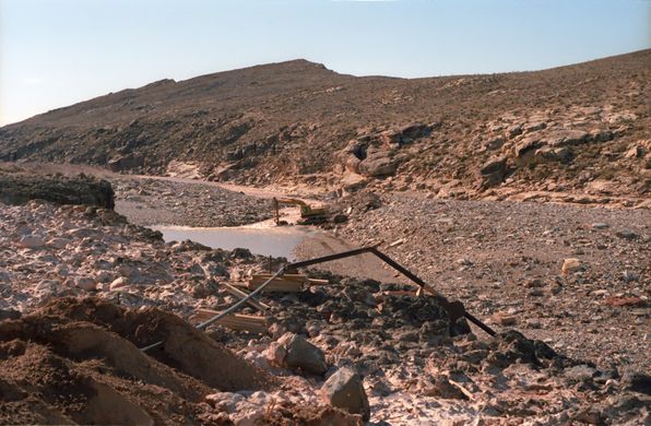
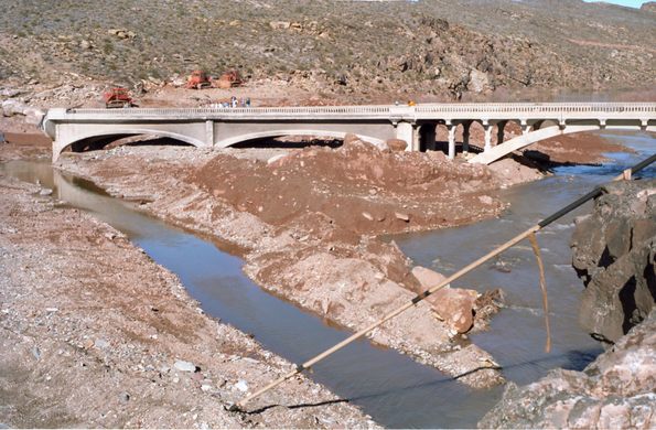
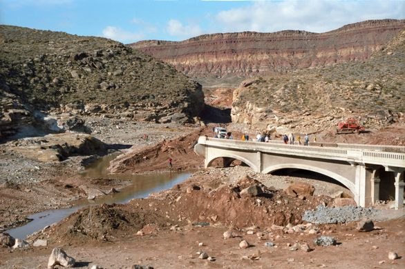
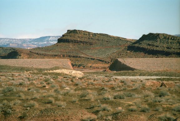
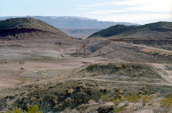
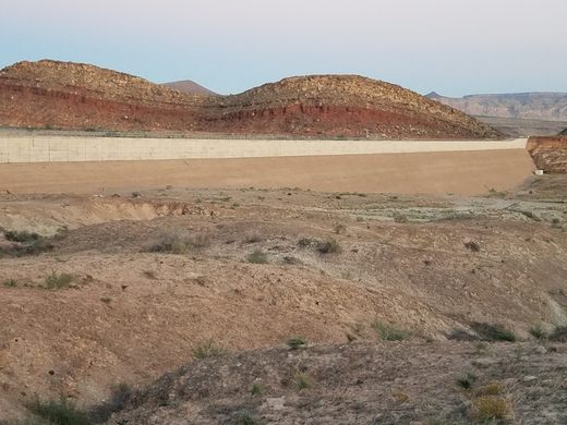
The reservoir is created by a main dam, some 200 feet high, on Quail Creek. However, a secondary dike, shorter in height (78 feet) but much longer (1,980 feet) than the main dam, was also needed to prevent the reservoir from overtopping a saddle to the southwest. The foundation of this dike turned out to be seriously flawed, and considerable leakage kept occurring as the reservoir was being filled. Ongoing efforts to plug the leakage with injected grout seemed to be successful, however, and so filling continued. However, a catastrophic leak erupted on December 31st, 1988, and when efforts to staunch it failed, evacuation orders were issued for all downstream areas. Finally, at 12:30 a.m. on New Year’s Day 1989 the dike collapsed completely, and the resulting outflow quickly drained the upper part of the reservoir. Fortunately, due to the evacuation warning the flood caused no loss of life downstream, but there was still some $12 million of property damage (equivalent to some $29 million in 2023).
In 1990, the dike was rebuilt with a considerably better foundation, and in the 30-odd years since there have been no further problems.
Know Before You Go
Road 5300 West, which runs along the northwest side of Quail Creek Reservoir, has a junction with Utah State Route 9 about 2.6 miles east of the intersection of SR-9 with Interstate 15. In less than a mile there is an excellent view of the secondary dike off to the right (east).


Follow us on Twitter to get the latest on the world's hidden wonders.
Like us on Facebook to get the latest on the world's hidden wonders.
Follow us on Twitter Like us on Facebook