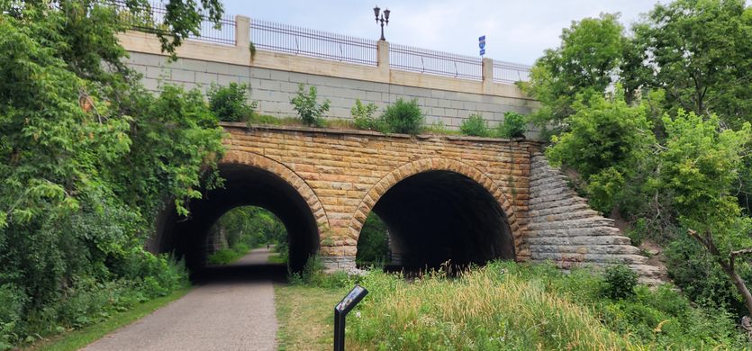
Seventh Street Improvement Arches
This double-arched masonry highway bridge is the only structure of its kind in Minnesota.

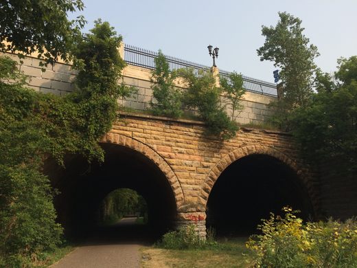
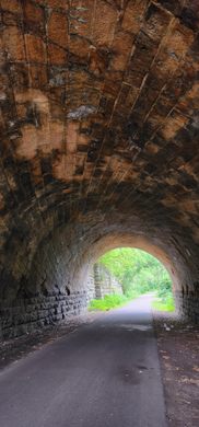
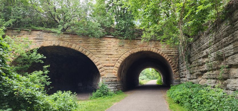
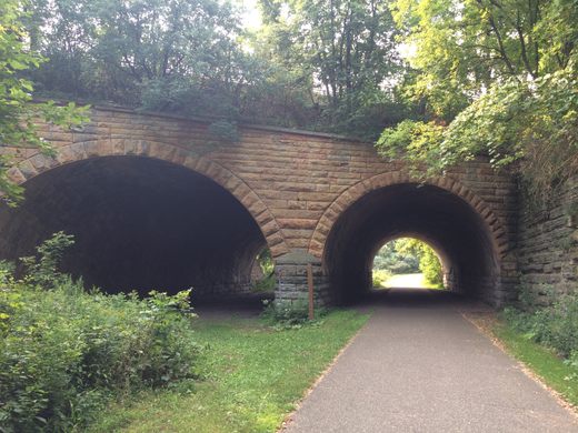
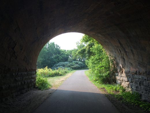

Today, bikers and runners can enjoy open skies and towering greenery along the Bruce Vento Regional Trail, a seven-mile stretch of paved trail that links White Bear Township to downtown Saint Paul. It might be easy enough to miss one of the bridges that arch over the trail as a landmark of engineering.
In 1883, residents atop the cliffs of Dayton’s Bluff were clamoring for not only a replacement to the rickety wooden bridge connecting them to the rest of the city, but also a structure that could handle water piping and streetcar traffic.
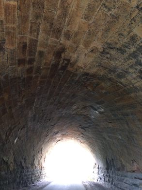
Engineer William A. Truesdell was given the task of designing a structure that could handle that weight, without the same sure-footing of a straightforward bridge (as the roads from Dayton’s Bluff and Saint Paul were angled at a skewed 63 degrees). The most obvious solution was to follow the traditional French method of skewed archs, where all the straight lines of an arch bridge have to be angled with the two skewed sides. However, the amount of precise masonry for almost every stone in the archway would have been prohibitively expensive.
Truesdell eventually found a solution in the helicoidal method, created by Peter Nicholson in 1828, where the mathematically-complicated but repeating pattern of a screw could be mapped onto stonework, allowing the strength of a skewered arch without the expense. Construction on the Seventh Street Improvement Arches began in September 1883, using two types of locally sourced limestone. The bridge opened to traffic on December 18, 1884.
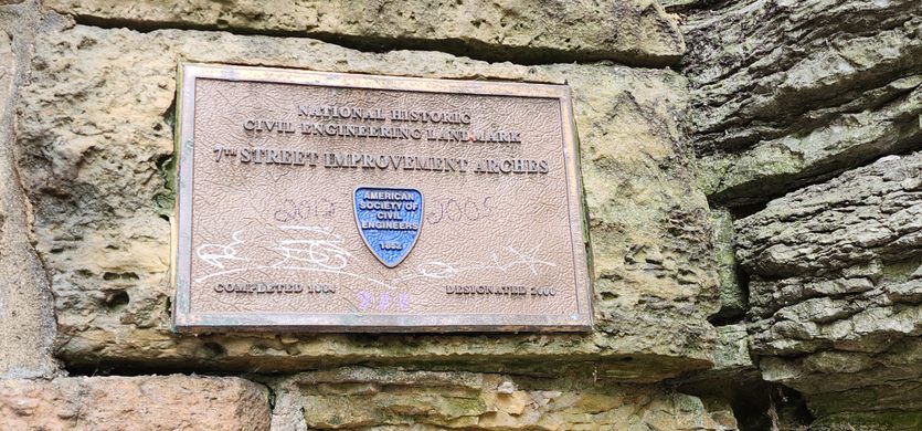
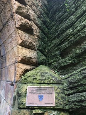
The Seventh Street Improvement Arches was added to the National Register of Historic Places in 1989 and featured on the American Society of Civil Engineers’ list of Historic Civil Engineering Landmarks in 2000.

Follow us on Twitter to get the latest on the world's hidden wonders.
Like us on Facebook to get the latest on the world's hidden wonders.
Follow us on Twitter Like us on Facebook