The Outer Trial Bank
"The Donut" was built as part of an expensive, ill-fated engineering endeavor.
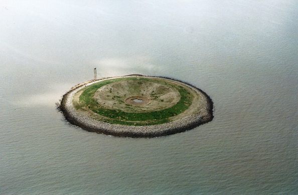
As perfectly circular as it is redundant, this crater-like artificial island was built in the 1970s to test the feasibility of an ultimately unfeasible engineering project. Because of the concentric pond at its center, the locals dubbed it “the Donut.”
In 1972 the British government commissioned an ambitious engineering project within one of England’s largest bays, the shallow and treacherous Wash. The idea was to build a tidal barrage and power station, along with a freshwater reservoir, to capture the outflow of the river Nene.
Construction began in 1975. Two test islands, including the 820-foot diameter “donut,” were built to investigate the eventual water quality in the reservoir constructed on the former seabed. The island is composed of dredged sand and braced by limestone gabions, or cages filled with rocks, and has a 2.5-acre central reservoir. The test cost £3 million and demonstrated that the project would prove both costly and impractical, as the central reservoir quickly became undesirably salty and silty.
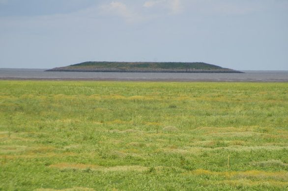
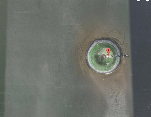
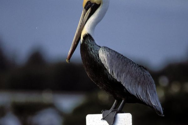
The whole project was abandoned in 1976, but the island stubbornly still exists as a reminder of its failure. It’s rarely included on maps even though it stands out as one of the highest points on the otherwise flat, marshy coast of the Wash. The Donut is clearly visible on satellite imagery in which it resembles a marshy meteor-strike in a corner of the bay. The island is now part of the Wash National Nature Reserve and has a new lease on life, as up to 3000 seabirds have made it their home.
Know Before You Go
The nearest access point is from East Bank, near Sutton Bridge. Follow the road down to the lighthouse, where there is parking at the picnic area.
A gate to the left of the lighthouse leads down to the river. Turn right and climb onto the tidal defense. After half a mile, the island is directly in front of you.
There is alternative access on West Bank and from the village of Gedney Drove End.
The Wash is quiet and desolate, with fast tides and dangerous mud and silt, so when in the area, stick to the marked footpaths. Access at East Bank is via steps and a dirt path which is often muddy.
There are no organized tours or trips to the island, but online videos reveal that it can be reached by experienced kayakers with knowledge of the tidal conditions in The Wash.





Follow us on Twitter to get the latest on the world's hidden wonders.
Like us on Facebook to get the latest on the world's hidden wonders.
Follow us on Twitter Like us on Facebook