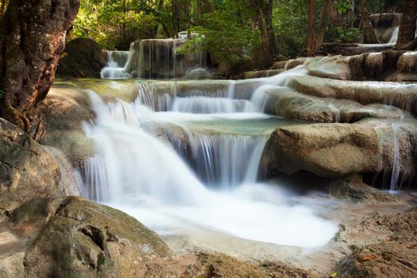
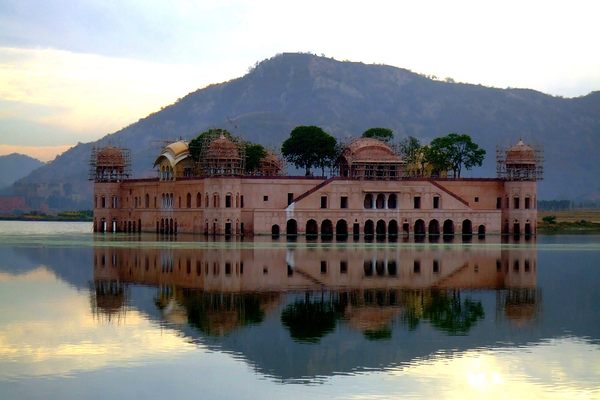
Wat Saam Prasob, the Sunken Temple
During the rainy season, this temple is almost entirely submerged, accessible only by boat.


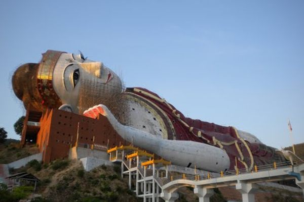
When the Vajiralongkorn Dam in Thailand was constructed in 1984, there was great consternation in the Mon community living near the dam site. Members of the Mon tribe, who had fled nearby Myanmar to escape the continuous conflicts taking place there, lived in a small village along the border between the two countries. But after the construction of the dam most of the village was flooded, and the refugees had to find a new place to live, in a country that was not their own.
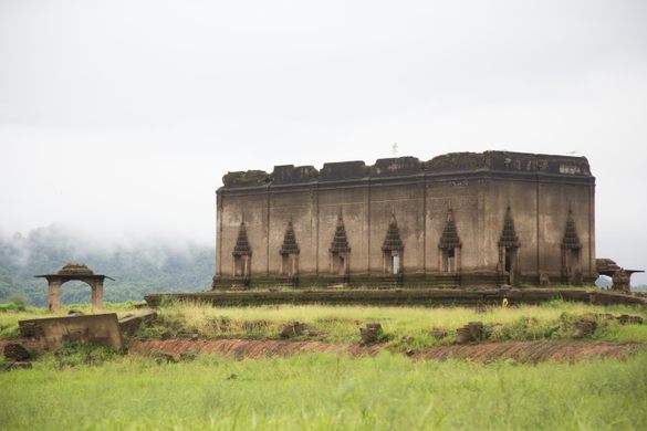
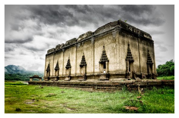
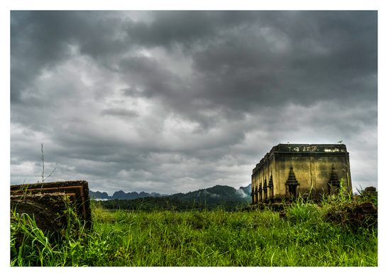
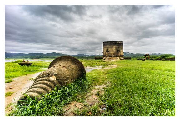
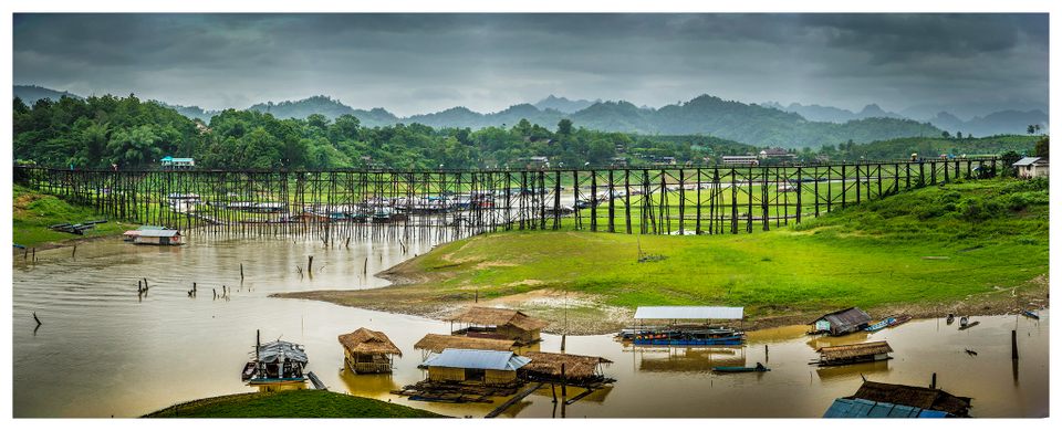
The only structure from the submerged town that remains today is the Waat Sam Prasob shrine, also known as the Sunken Temple or the Wat Wang Wiwekaram. Built by the Mon and Karen tribes, it was once the heart of the old town. Today, during the rainy season when the reservoir levels are high, the top half and the steeple are the only parts of the temple that are visible, and a boat ride takes you around the curious structure. When the region is drier, it is possible to walk around and inside to take a closer look at the ruins.
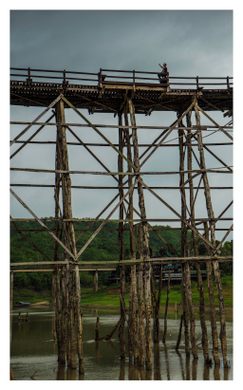
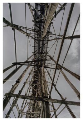
Luangpo Uttama, the abbot of the old temple who was himself a Mon refugee, helped the Mon people relocate to their current location in the Ban Wangka village, opposite the town of Sangkhlaburi. A wooden bridge spanning 1,300 feet was built to connect the two settlements, named Uttama Nusorn after the abbot who was instrumental in the development of the region. It is the longest wooden bridge in Thailand and is thought to be the second longest in the world. Popularly called the Mon bridge or Saphan Mon, it was built over the Songkalia river and overlooks a scenic landscape, making it a favorite of tourists and photographers. Vehicles are not allowed on the bridge but it is possible to walk across and visit the Mon village.
Know Before You Go
It is accessible through bus or car from Kanchanaburi. There are many guest houses next to the old bridge.


Follow us on Twitter to get the latest on the world's hidden wonders.
Like us on Facebook to get the latest on the world's hidden wonders.
Follow us on Twitter Like us on Facebook