AO Edited
Amatol Ghost Town
In the woods of New Jersey lie the ruins of a munitions village abandoned after World War I and the remnants of a 1920s wooden racetrack.
During the last years of World War I, a new explosive was invented to help stretch the depleting stores of TNT. It was called Amatol, and in 1918, shortly after the United States entered the war, a munitions plant and adjacent factory town were established in New Jersey named after the explosive they manufactured.
Amatol, New Jersey, was built on 6,000 acres of land in the Pine Barrens. The planned community was short lived: After World War I ended that same year, Amatol became a vacant town. The homes were deserted and the plant shut down. Because most of the buildings were built to be temporary, they were dismantled and little was left behind. The factory was eventually demolished.
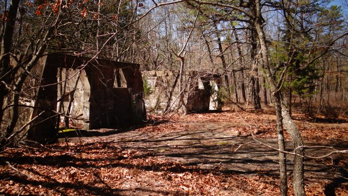
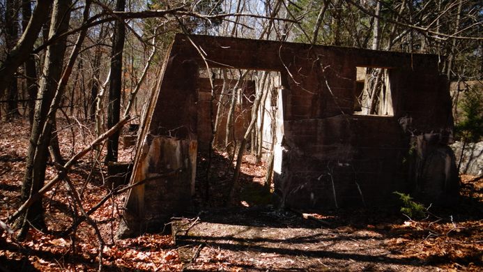
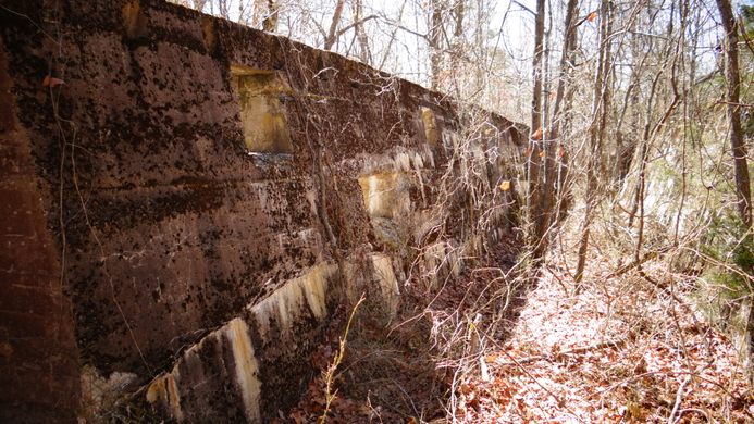
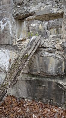
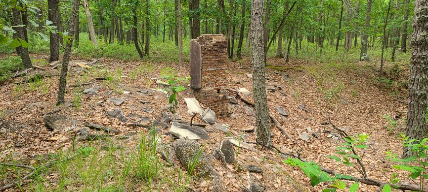
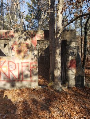
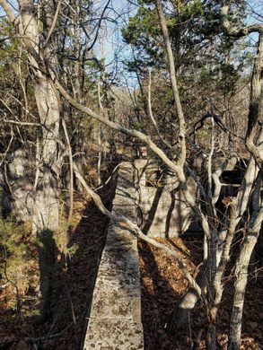
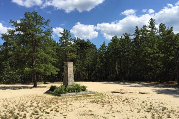
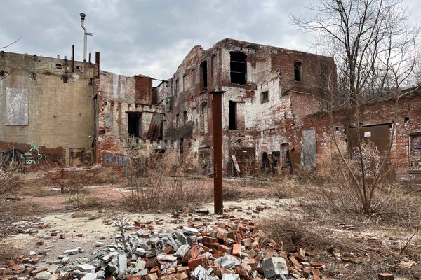
The structures that were left behind were made out of concrete, and if you make the hike out into the woods and look closely you can see the remnants of the former munitions village: piles of concrete that were once houses and concrete foundations where structures once stood.
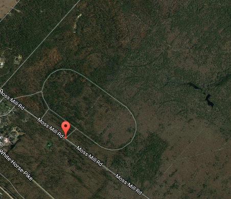
You can also see hints of the racetrack that was built in 1926 on the site of the former munitions plant. The Amatol Racetrack, also known as the Atlantic City Speedway, was the biggest raceway on the East Coast at the time. Made out of wood, it was a 1.5-mile oval track, about 50 feet wide. You can still see the oval outline of the old speedway via Google Earth (coordinates: 39°36’4.59”N, 74°44’37.10”W), an eerie glimpse of where the raceway once existed.
Know Before You Go
The site is southeast of Hammonton on Moss Mill Rd. Three-quarters of where the race track once existed is maintained by Hammonton Creek Wildlife Management Area and you can hike and explore on it without trespassing. However, one-quarter of it is private land, and "No Trespassing" signs are posted. They are clearly marked. Coordinates for parking: 39°36'4.59"N, 74°44'37.10"W. (This is not the private property area.) The ruins are a 1/3 mile hike from the parking area. There is a cut-through path from one side of where the racetrack was to the other side. Take that path and hike approximately three-quarters of the way. Make a right where there is a lightly worn path and it will lead you to the ruins.








Follow us on Twitter to get the latest on the world's hidden wonders.
Like us on Facebook to get the latest on the world's hidden wonders.
Follow us on Twitter Like us on Facebook