About
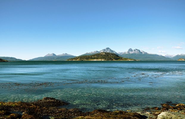
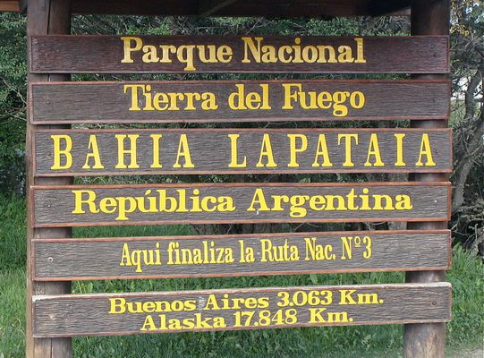
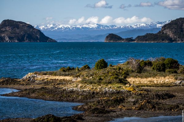
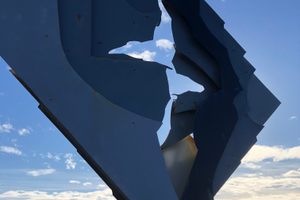
Bahia Lapataia (Lapataia Bay) is the most southern point of the longest motorway on the planet. Here you'll find a handsome sign marking the end of National Route 3, the last leg of the Pan-American Highway network. This is the farthest south you can drive in the Western Hemisphere.
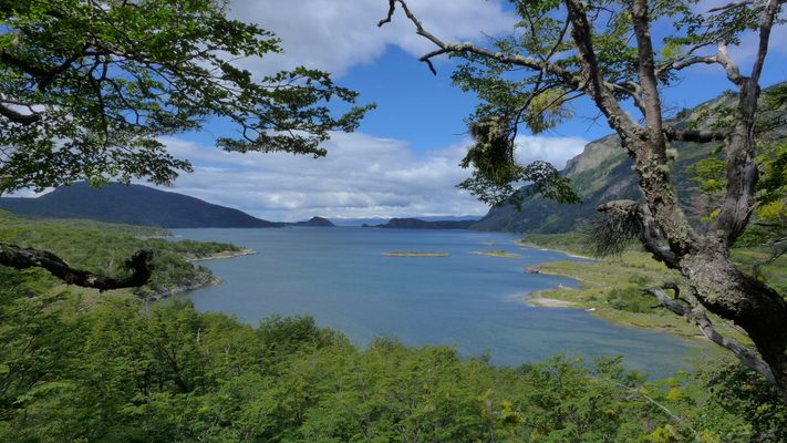
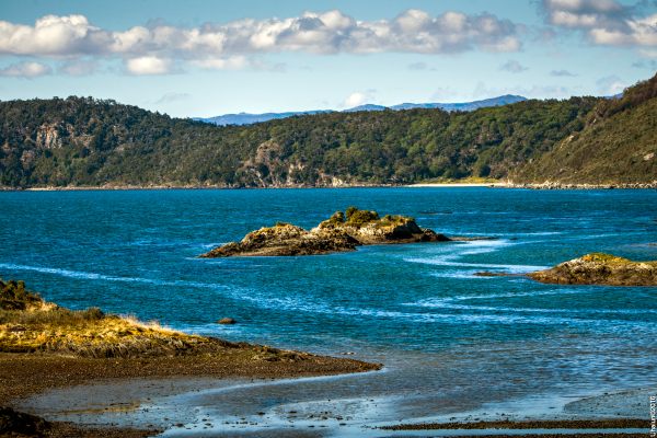
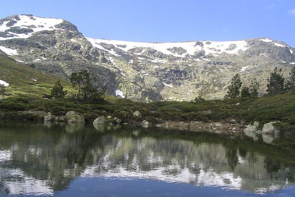
Near the sign is a boardwalk leading out to the bay, a remote fjord at the tip of Argentine Patagonia. The fjord is a branch of the Beagle Channel, which was named after the boat carrying Charles Darwin on his journey. The area is still popular among naturalists looking for sea birds, dolphins, and other cold-water animals. Most of the land around the bay is now protected.
This secluded wilderness has been inhabited for 10,000 years, recently only by the indigenous Yámana people, who gave the bay its name, which means "Bay of Forests" in the native Yámana language. They were known to build fires as a form of communication between islands, which inspired the name Tierra del Fuego, or "Land of Fire." The rough seas and sub-polar climate were scarcely seen by outsiders until the 1600s. From this bay, you would sail west and quickly be in the Pacific Ocean, or east and be in the Atlantic.
Related Tags
Know Before You Go
Bahia Lapataia is located within Tierra del Fuego National Park. A great place to start or end a serious road trip, the "End of the World" is about a 45-minute drive from Ushuaia (a popular destination for winter sports most the year). The road should be open year-round but remember to plan your trip for Southern Hemisphere seasons, as it rains 200 days of the year.
Community Contributors
Added By
Published
August 19, 2019

