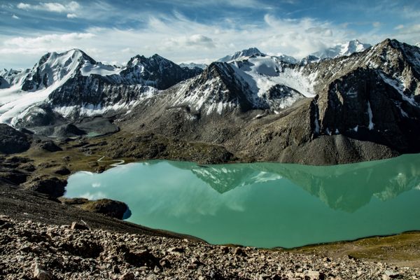
Blue Lake
In the little-known Pine Forest Range in northwestern Nevada, a natural lake of glacial origin.
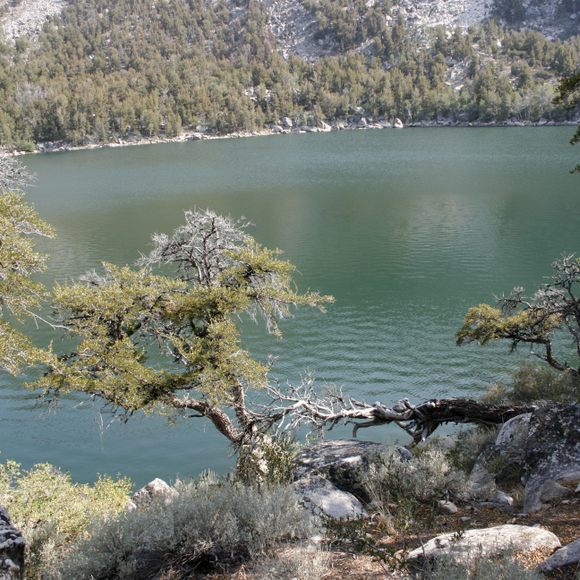
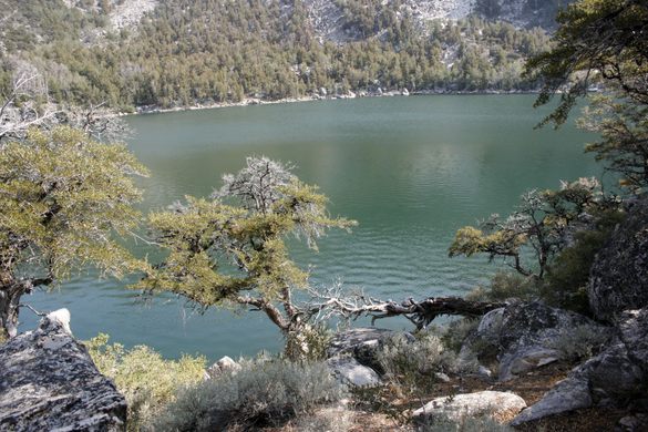
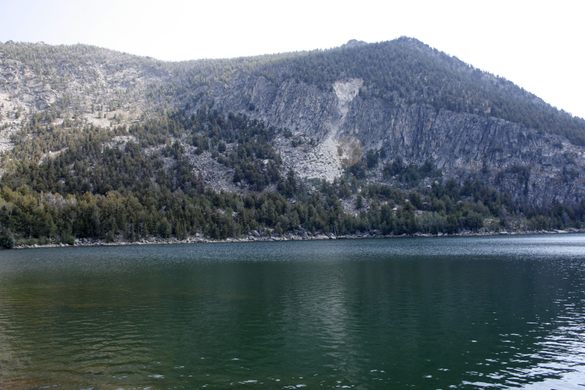
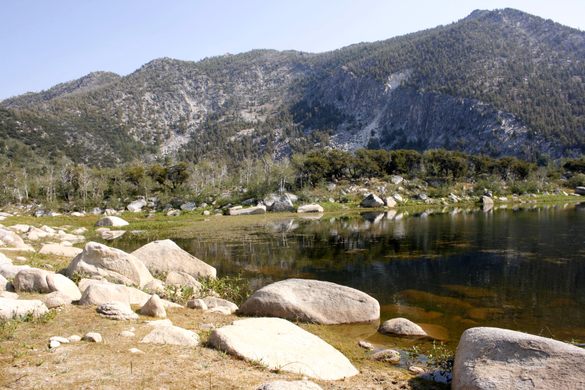
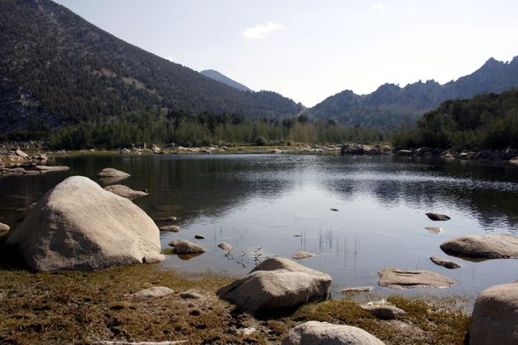
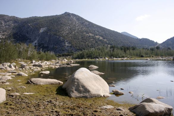
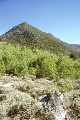

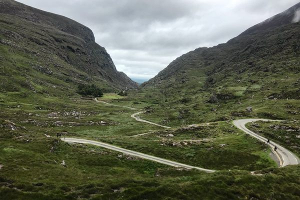
The Pine Forest Range is another little-known Nevada mountain range, with a high point (Duffer Peak) at 9,397 feet (2,864 meters). It is unusual in preserving a natural alpine lake, Blue Lake, which fills the basin in a Pleistocene glacial cirque.
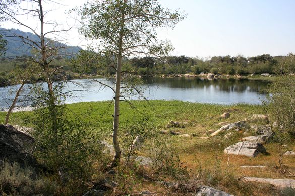
Alpine lakes are found at high altitudes and are fed by mountain runoff. Their water is usually clearer and colder than lakes at lower elevations—the low temperature means that algae and moss growth in the water is limited. Blue Lake is the only alpine lake in the region.
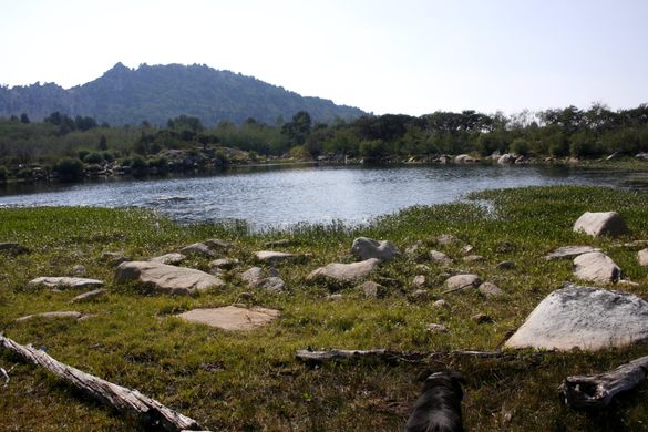
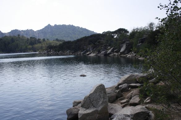
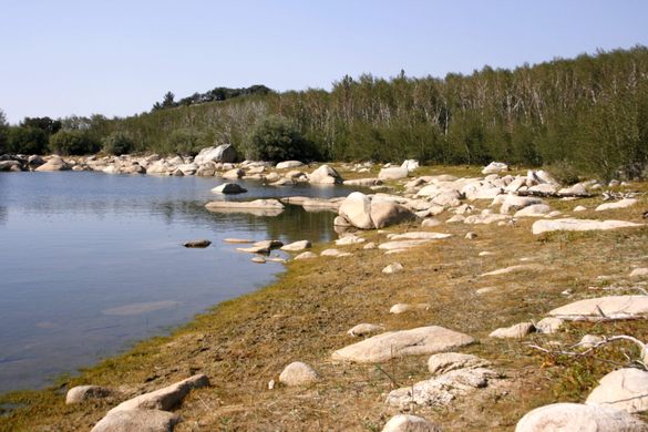
The feature is often called the Blue Lakes, even in official publications, because it’s typically present as several smaller lakes that coalesce only at high water levels. The lake(s) are now preserved in the Pine Forest Range Wilderness, and there is a network of trails in the area. Much of the country is open enough to invite cross-country hiking as well.
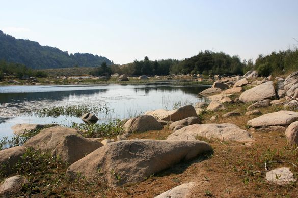
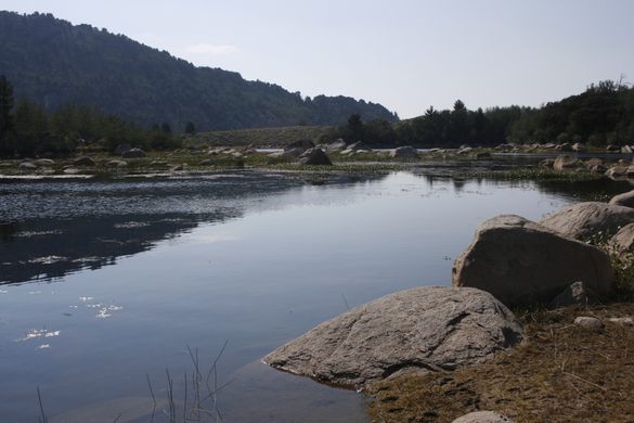
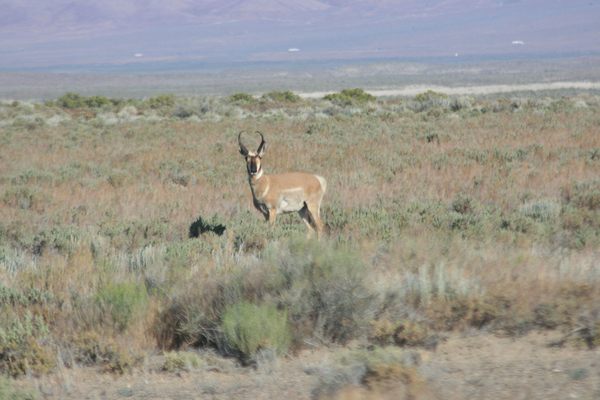
Several small scenic reservoirs can be found in the immediate vicinity. All the bodies of water, including the Blue Lakes, are stocked with fish by the Nevada Department of Wildlife. The result is that the area gets more usage, due to anglers, than might be expected from its remote location and difficult access.
Know Before You Go
The best route is from the north off Nevada State Route 140 west of Denio Junction. Either turn right (south) on Alder Creek Ranch Road 9.4 miles from Denio Junction (at 41.873350 N, 118.755824 W) and go 12.7 miles to a junction (41.712505 N, 118.768978 W) with an unnamed road that may be signed for "Onion Valley Reservoir." This junction is by Alder Creek. Alternatively, go 10.1 miles from Denio Junction to the intersection of Knott Creek road (at 41.873996 N, 118.768481 W) and turn left there, proceeding 15.6 miles to the above-described junction. Although a bit farther this route is said to be faster.
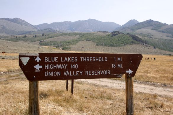
In either case, bear left at that junction and go 3.0 miles to an intersection at 41.691888 N, 118.748169 W. Onion Valley Campground is straight ahead about 0.1 mile; Onion Valley Reservoir will be on the left. To get to Little Onion Valley Reservoir continue another 0.8 mile past the campground. (Note: Little Onion Valley Reservoir is often dry.)
To get to the Blue Lake trailhead, take a sharp left at this intersection and proceed about a mile, over the Onion Valley Reservoir dam, to a junction on the right (at 41.701069 N, 118.734158 W) that will be signed for Blue Lakes. Follow this road a mile to the trailhead parking (41.87740 N, 118.721213 W).
To get to Knott Creek Reservoir, backtrack to the junction by Alder Creek and continue straight on the Knott Creek road about 4.1 miles. This road is steep and rough and will require high clearance and 4wd.
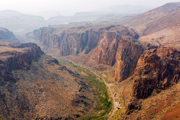
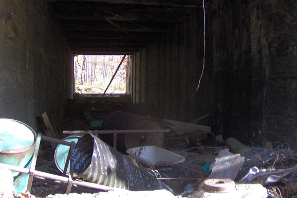
A route from the east, up the Alta Canyon road (which has a junction with SR 140 about 14.3 miles south of Denio Junction at 41.759022 N, 118.544193 W), and then proceeding south along the range crest, is scenic but not recommended. The last few miles of this route before it finally intersects the junction to the Blue Lakes turnoff includes 2 miles of rough, steep, and exceedingly narrow shelf road, on which high clearance and 4wd are imperative, and on which there is no provision for oncoming traffic to pass (see photo).


Follow us on Twitter to get the latest on the world's hidden wonders.
Like us on Facebook to get the latest on the world's hidden wonders.
Follow us on Twitter Like us on Facebook