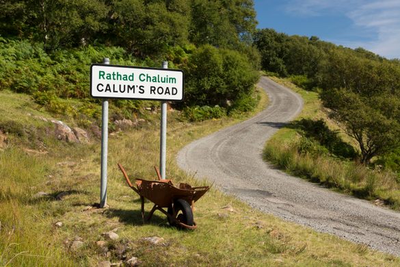
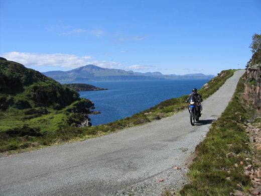
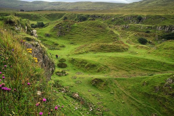
Calum's Road
One man spent 10 years building a spectacular section of road because no one else would.

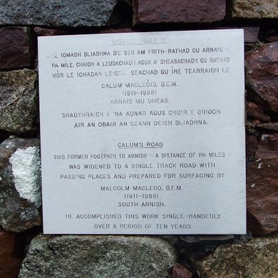
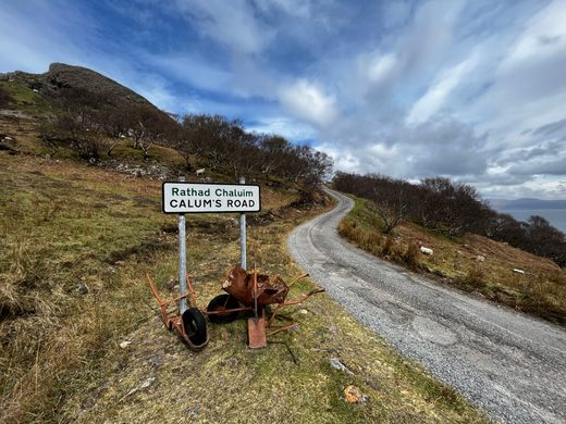

After years of failed lobbying for a road to be built to the isolated village of Arnish on the Isle of Raasay, 56-year-old Calum Macleod picked up an engineering manual, shovel, pick, and wheelbarrow and almost singlehandedly constructed the stunning stretch of island infrastructure that now bears his name.
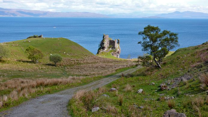
The Isle of Raasay’s road network used to end at Brochel, so islanders who lived in the northern settlement of Arnish simply had to walk home. Calum—a lighthouse keeper, crofter, and postman who never actually had a drivers license—was keen to reverse the depopulation of the north of Raasay and make it easier for his daughter to come home from the Isle of Skye for the weekend.
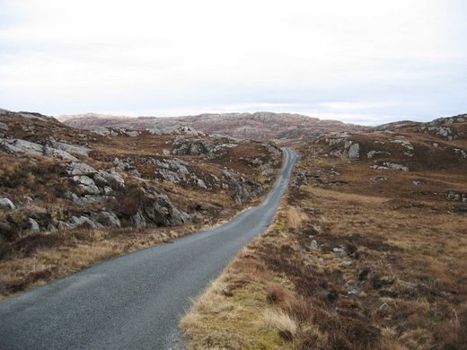
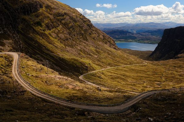
In the mid 1960s, he began his decade-long labor of love. This 1.75-mile stretch of single-track road was driven with limited assistance across a harsh and windswept landscape of bogs and boulders. The work was completed in his spare time, with Calum continuing his various day jobs throughout the construction. By the time Calum finished his road he was in his late 60s and, along with his wife, was one of the last two inhabitants of Arnish.
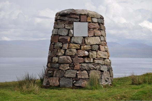
Nevertheless, the amateur-built thoroughfare was finally adopted and surfaced by the local council in 1982. A memorial cairn to Calum and his legendary determination now stands at a picnic site above the road, which is itself sadly falling into disrepair some three decades after his death. Over time Calum’s road has entered into folklore, being the subject of books, films, documentaries, and even an increasingly popular Scottish folk tune.
Know Before You Go
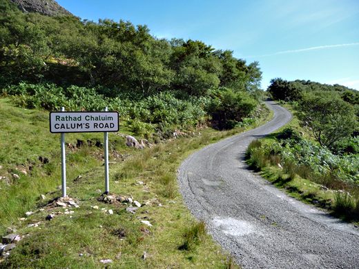
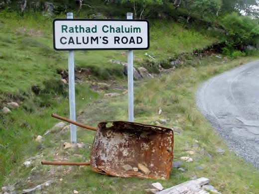
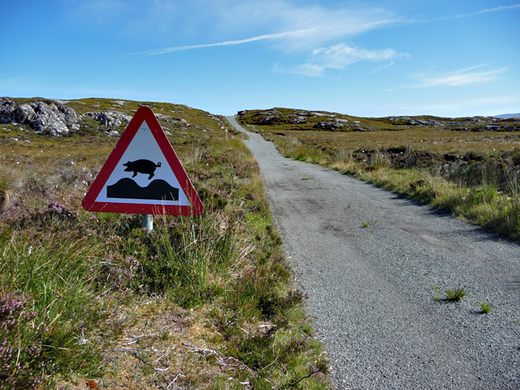
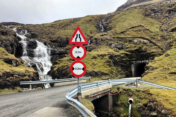
The coordinates given are for the southern end of Calum's Road. The beginning is clearly marked by a road sign.


Follow us on Twitter to get the latest on the world's hidden wonders.
Like us on Facebook to get the latest on the world's hidden wonders.
Follow us on Twitter Like us on Facebook