Cinder Lake Crater Field
An artificial crater field that trained astronauts for lunar exploration.


Before the first astronauts ever made it to the moon, they had to have somewhere to practice, and thus the Cinder Lake Crater Field was constructed.
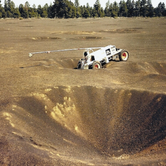
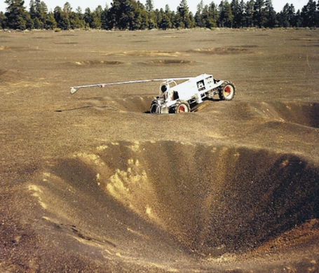
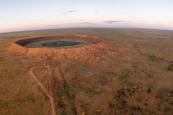
Chosen for its porous volcanic gravel, the former volcano provided a more than suitable analogue for moon rock. However to accurately simulate the surface of the moon, scientists mapped a portion of the satellite’s craters and proceeded to create an exact replica of the pothole field in Cinder Lake. Using hundreds of pounds of dynamite, NASA scientists created an identical field of craters in a carefully ordered series of blasts. Once the simulated moon field was constructed, the astronauts were free to try out their lunar rovers and other equipment from the safety of Earth’s gravity.
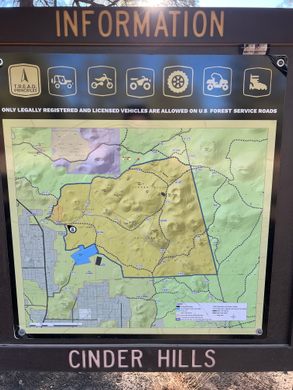
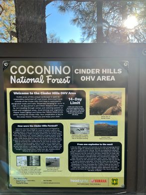
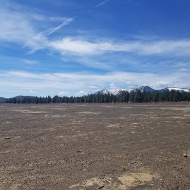
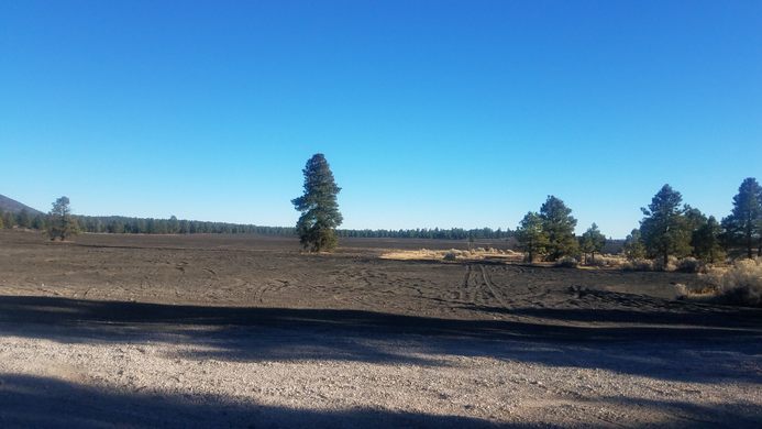
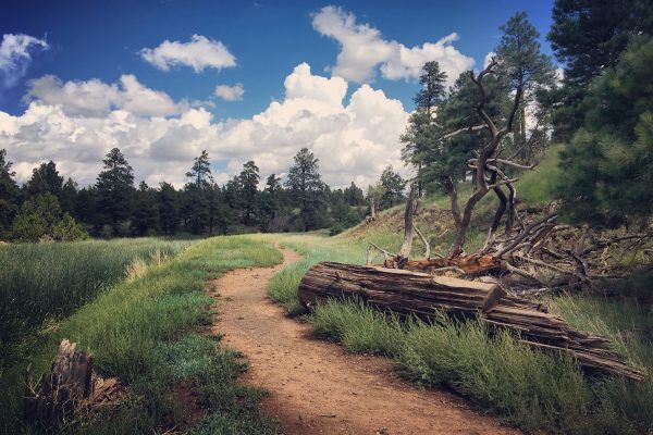
Remnants of the craters still remain today, although many of them have been been filled in and softened into divots by natural erosion and weathering. In addition to the natural deterioration, it now is a portion of a popular designated off-highway vehicle recreation area in the Coconino National Forest, which contributes to the destruction of this historically significant area.
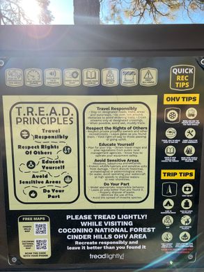
Know Before You Go
From Interstate 40/Purple Heart Trail, take exit 201 (US 89 N to Page), turn north on Country Club Drive, then turn right (northeast) onto Route 89 for about 8 miles. From US-89, turn right (east) onto the unpaved Forest Service Rd 776, and continue about 1.5 miles to the Cinder Hills Off-Highway Vehicle Area. Turn right and head south-southwest through this area about half a mile to reach the crater field.Forest Service Rd 776 may be closed seasonally or due to poor conditions, and may only accessible by 4-wheel-drive vehicles in other conditions. Although all motor vehicles are technically permitted in the Cinder Hills OHV area, vehicles other than ATV's or high-clearance 4-wheel-drive vehicles may get stuck. Road conditions and closures, detailed maps including the boundaries of the Cinder Hills OHV area, fire danger level, and other information is available on the Coconino National Forest website.


Follow us on Twitter to get the latest on the world's hidden wonders.
Like us on Facebook to get the latest on the world's hidden wonders.
Follow us on Twitter Like us on Facebook