AO Edited
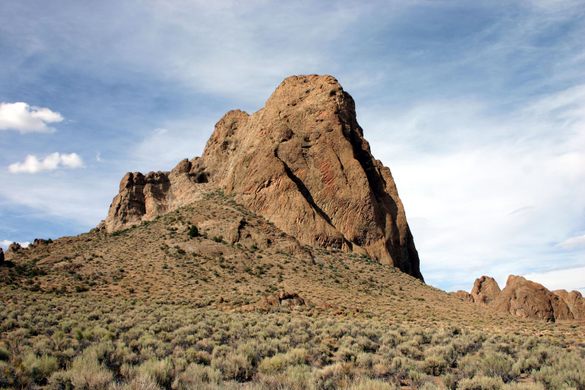
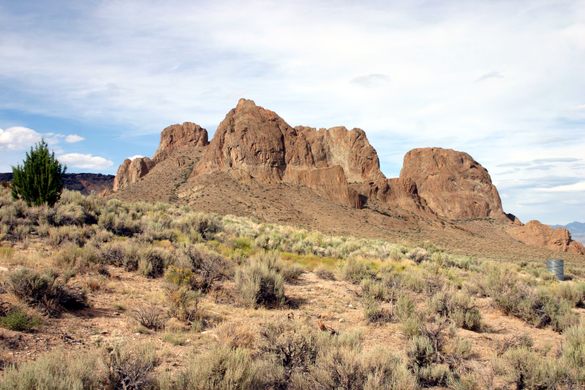
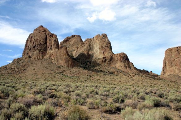
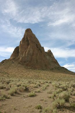
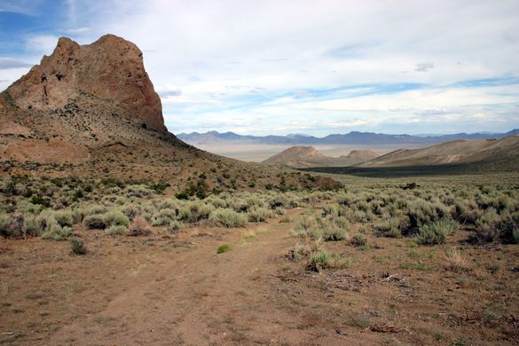
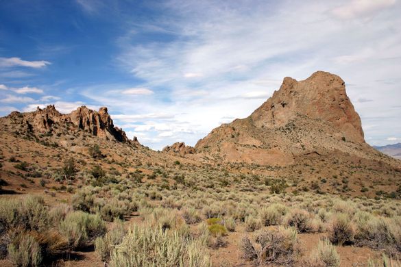
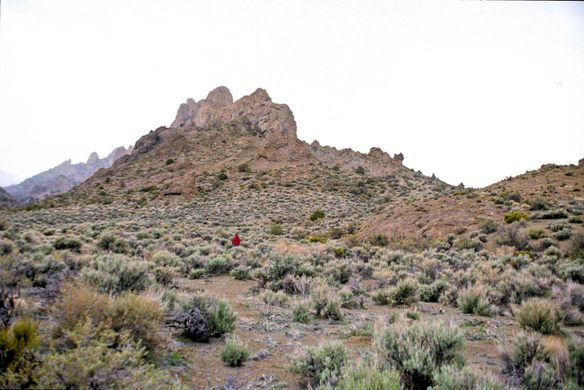
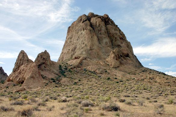
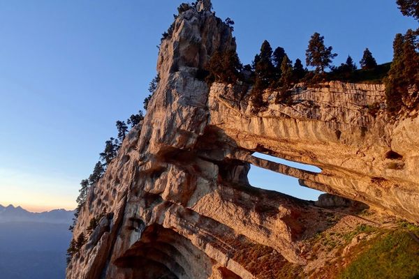
Fang Ridge
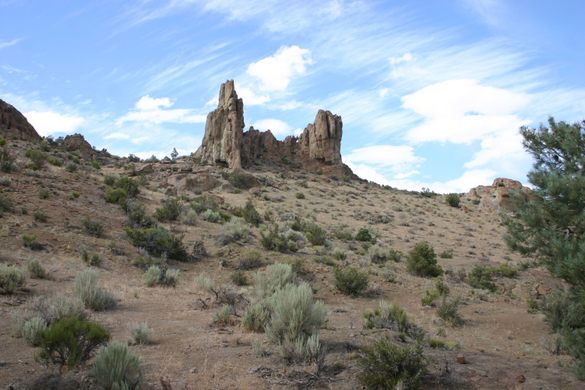
Red rock "fangs" jut out of the desert near the Extraterrestrial Highway.

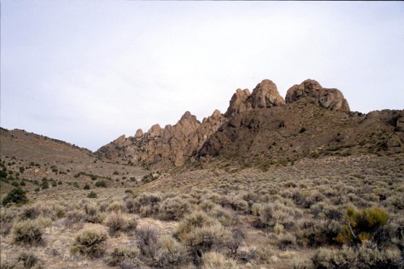

The southern Reveille Range, west of Nevada State Route 375, the famed Extraterrestrial Highway, is unusual among Nevada mountain ranges in containing no potential economic mineralization. No doubt, prospectors swarmed over the area back in the day, but they found nothing to warrant further effort. The result is that this area is not seamed with roads and jeep trails connecting adits, prospect pits, abandoned buildings, spoil heaps, and other mining residua. The southern Reveille Range is an almost untouched piece of nature.
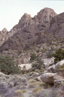
A highlight of the range is Fang Ridge, a ridge of red rock spires running east to west, perpendicular to the main range. The “fangs” are composed of dacite, a hard volcanic rock, which is sturdy enough to attract nearby rock climbers. The fangs reach an elevation of some 6,000 feet above sea level.
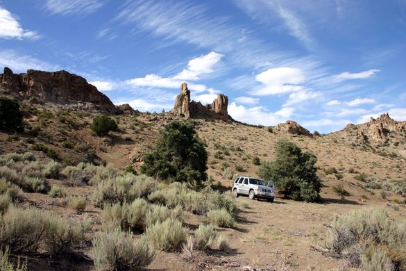
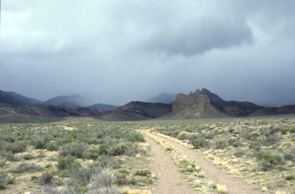
The only road into the south Reveille Range runs along the south side of Fang Ridge, which provides easy access to the pristine landscape. This road runs by Pyramid Spring, one of the handful of perennial water sources in the range, and continues for another half mile. It ends at a wide parking area below the ridge. The site was used for radiation monitoring back when nuclear testing was being carried out on the Nevada Test Site to the south.
Know Before You Go
The turnoff to the road, which is unmarked, is some 28.7 miles north of Rachel on Nevada SR-375, at 37.948965 N, 116.054463 W. The road should be passable to high-clearance vehicles but probably not to passenger cars. It is about 4 miles to Pyramid Spring and another 0.4 miles to the end-of-road.

Plan Your Trip
The Atlas Obscura Podcast is Back!


Follow us on Twitter to get the latest on the world's hidden wonders.
Like us on Facebook to get the latest on the world's hidden wonders.
Follow us on Twitter Like us on Facebook