AO Edited
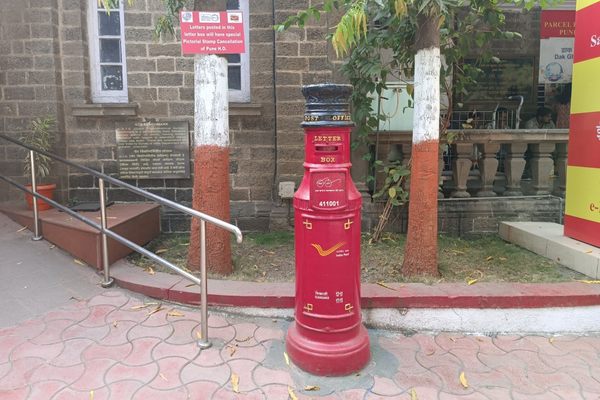
Zero Stone of Pune
One in a series of historical markers from the massive 19th-century undertaking to map all of India.

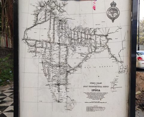
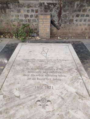
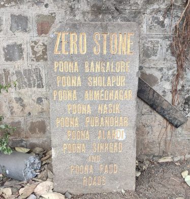
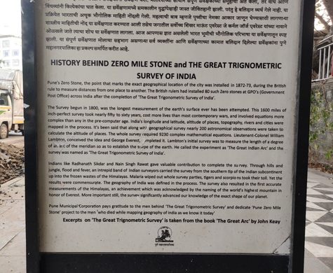

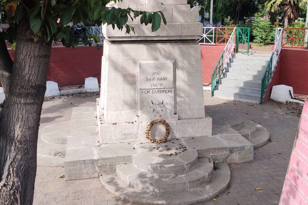
An old stone marker lines a footpath in front of the General Post Office in Pune. The marker is known as Pune’s “zero stone,” which marks the exact geographical location of a city and is used to measure distances between places. The British installed 80 such zero stones in cities across India after the completion of the Great Trigonometrical Survey of India.
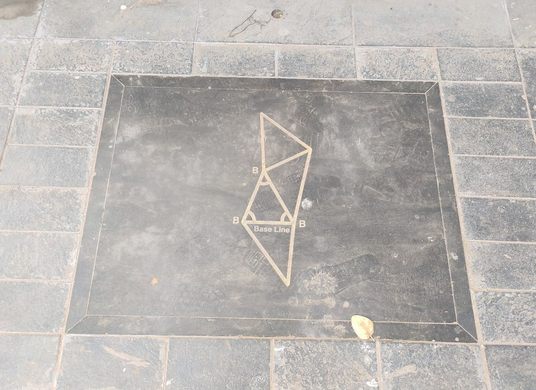
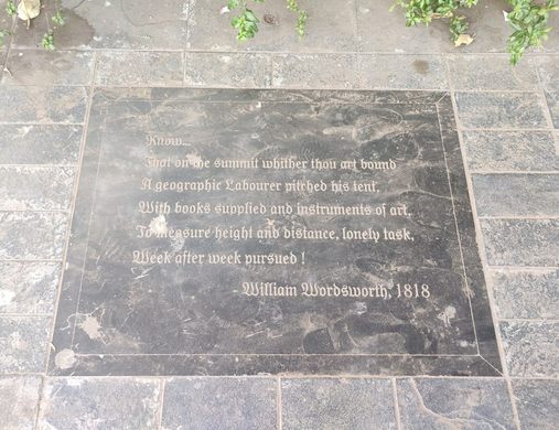
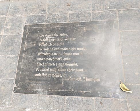
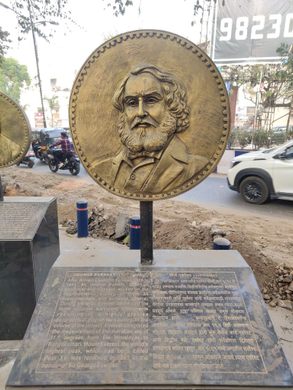
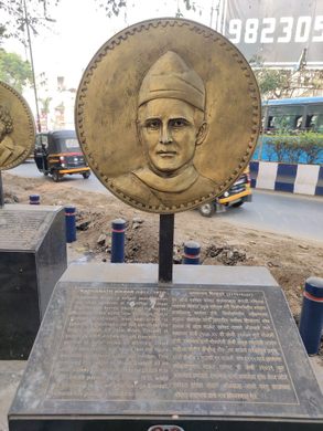
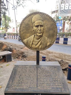
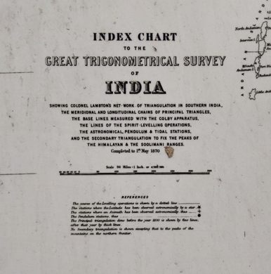
The information plaques next to Pune’s zero stone offer an insight into this fascinating project. The survey precisely and scientifically mapped out the whole Indian subcontinent. It involved hundreds of men and thousands of complex mathematical equations.
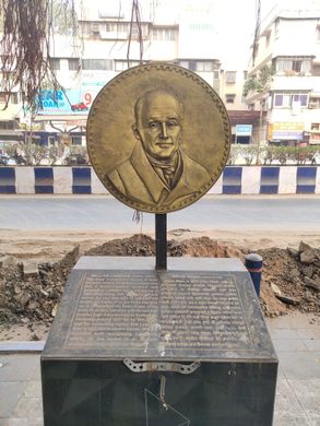
Lieutenant-Colonel William Lambton came up with the project, which was started on April 10, 1802. Later, Colonel Sir George Everest oversaw the project’s completion in 1871. Radhanath Sikdar, Nain Singh Rawat, and many others also contributed to the project.
As a result of the survey, India’s latitude, longitude, altitudes, topography, rivers, and cities were all mapped. The survey also completed the first accurate measurements of the Himalayas, including the world’s highest peak, Mount Everest, which was named in the honor of British geographer George Everest.
The information plaques have been thoughtfully and creatively installed like an open-air streetside museum. Around the plaques, quotes are etched in stone, serving as a fitting tribute to the many people involved in this grand survey.
Know Before You Go
The information plaques and the zero stone can be found on the footpath on the east side of the General Post Office, a short distance away from Pune Railway Station.


Follow us on Twitter to get the latest on the world's hidden wonders.
Like us on Facebook to get the latest on the world's hidden wonders.
Follow us on Twitter Like us on Facebook