Trips Places Foods Stories Newsletters
Loading...
Loading...
Loading...
Loading...

No search results found for
“”

Make sure words are spelled correctly.

Try searching for a travel destination.

Places near me Random place

Popular Destinations

  • Paris
  • London
  • New York
  • Berlin
  • Rome
  • Los Angeles
Trips Places Foods Stories Newsletters
Sign In Join
Places near me Random place
All the United States California May Lundy Mine

May Lundy Mine

A scenic hike in the High Sierra that ends at an old gold mine.

Lundy, California

Added By
slgwv
Email
Been Here
Want to go
Added to list
CAPTION
Collapsed adit of May Lundy Mine.   slgwv / Atlas Obscura User
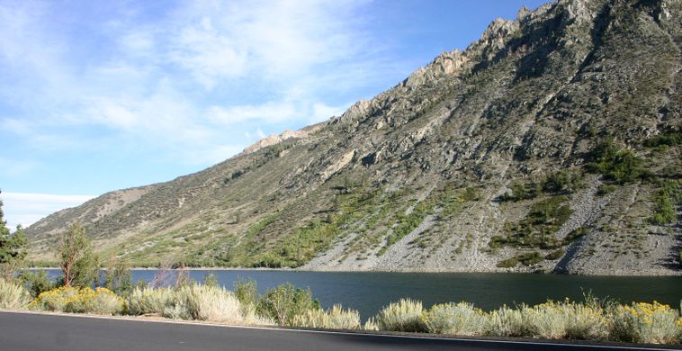
The trail to the May Lundy Mine, cutting diagonally across the slope from lower left toward the upper right. Lundy Lake in the foreground.   slgwv / Atlas Obscura User
View westward to Lundy Canyon and Lake, from the May Lundy Mine trailhead.   slgwv / Atlas Obscura User
Heading up the old wagon road to the May Lundy Mine.   slgwv / Atlas Obscura User
Trail up Lake Canyon, looking south.   slgwv / Atlas Obscura User
View from May Lundy spoil heap. Edge of Crystal Lake at left.   slgwv / Atlas Obscura User
Derelict mining equipment by the May Lundy Mine.   slgwv / Atlas Obscura User
Collapsed adit of May Lundy Mine.   slgwv / Atlas Obscura User
Track from May Lundy Mine out onto spoil dump.   slgwv / Atlas Obscura User
View from May Lundy Mine. The lake is Crystal Lake.   slgwv / Atlas Obscura User
Spoil heap and tracks from May Lundy Mine.   slgwv / Atlas Obscura User
Track from the May Lundy Mine.   slgwv / Atlas Obscura User
Large gear from mining equipment.   slgwv / Atlas Obscura User
Oneida Lake, about 1/4 mile beyond the May Lundy Mine.   slgwv / Atlas Obscura User
Looking out Lake Canyon toward Lundy Canyon from near the May Lundy Mine. Crystal Lake right of center.   slgwv / Atlas Obscura User
Building ruins below May Lundy Mine. Spoil apron from the mine is visible in the middle distance to the left.   slgwv / Atlas Obscura User
Building ruins below May Lundy Mine, another view. Spoil apron from the mine is visible in the middle distance to the left.   slgwv / Atlas Obscura User
The trail to the May Lundy Mine, cutting diagonally across the slope from lower left toward the upper right. The old branch trail to Lundy is also visible, dropping down to the right in the center of the photo.Lundy Lake in the foreground.   slgwv / Atlas Obscura User
The trail to the May Lundy Mine, cutting diagonally across the slope from lower left toward the upper right into Lake Canyon (in the background at upper right). Lundy Lake in the foreground.   slgwv / Atlas Obscura User
Been Here
Want to go
Added to list

About

The high Sierra Nevada is well known for its outstanding scenery, but it seems an improbable setting for mining rushes. However, it seems more reasonable considering the Mother Lode deposits were eroded from the Sierra. And in fact, metamorphic rocks which occur mostly on the eastern side of the Sierra, host several precious metal deposits that led to mining booms in the late 1800s.

Several of these deposits occur in spectacular Lundy Canyon, which drains eastward from the Sierra Nevada just east of what is now Yosemite National Park. In the early 1880s, several mines in the canyon formed the basis of the town of Lundy. One of the largest mines, and certainly the longest-lived and best-preserved, was the May Lundy Mine, located in Lake Canyon.

Like the other mines in Lundy, it was a gold producer in the early 1880s, but it also underwent some further revivals. It was active in the 1890s up to about 1915, and then again in the mid-1930s until gold mining was shut down in 1942.

The mine site itself now lies within the Hoover Wilderness Area.

Related Tags

Nature Trails Mines

Know Before You Go

Lundy Canyon is off to the west of US-395 about 7.4 miles north of the intersection of California State Route 120, the Tioga Pass Road, just south of Lee Vining. Turn left on Lundy Lake Road (which comes into US-395 opposite California SR-167) and go 3.5 miles. Then take a shallow left onto Lundy Dam road; this turn may have an inconspicuous sign. Proceed 0.3 miles to the trailhead at the south side of Lundy Dam.

The trail to the May Lundy Mine climbs up across the slope to the left. It is the original wagon road to the mine, built in 1880-1, but it has been closed to vehicle traffic since the 1970s.

After about 1.5 miles and climbing about 900 feet, the trail turns left into Lake Canyon. It is now another 1.7 miles to the May Lundy Mine, at an altitude of about 9500 feet. Just before the mine, you enter the Hoover Wilderness Area. The trail is open to dogs under restraint.

The trail is about 3.2 miles one-way with some 1700 feet of altitude gain, so the hike can be strenuous. Be sure also to allow extra time and effort to explore the vicinity, including the ruins around the mine. In particular, continuing another quarter mile to attractive Oneida Lake is a worthwhile side trip.

Please remember that all ruins and artifacts have historical value and are protected. Attempting to enter the mine is also extremely hazardous.

The former townsite of Lundy itself is on the west side of Lundy Lake and is now mostly covered by recreational facilities. To get there stay on Lundy Lake Road and go past the lake. Continue to the end of the road to reach a trailhead accessing upper Lundy Canyon.

Community Contributors

Added By

slgwv

Published

May 19, 2023

Edit this listing

Make an Edit
Add Photos
Sources
  • Alan H. Patera, Lundy, Western Places, Lake Grove, Oregon.
May Lundy Mine
Lundy, California, 93541
United States
38.000052, -119.24715

Nearby Places

Basalt Plug

Mono City, California

miles away

Black Point Fissures by Mono Lake

Lee Vining, California

miles away

Sinnamon Cut

Bridgeport, California

miles away

Explore the Destination Guide

Photo of California

California

United States

Places 1,494
Stories 135

Nearby Places

Basalt Plug

Mono City, California

miles away

Black Point Fissures by Mono Lake

Lee Vining, California

miles away

Sinnamon Cut

Bridgeport, California

miles away

Explore the Destination Guide

Photo of California

California

United States

Places 1,494
Stories 135

Related Places

  • Bordeaux twin city garden celebrating Casablanca

    Bordeaux, France

    Twin Cities Gardens

    These gardens whisk you away to Japan and Morocco—without leaving Bordeaux.

  • Pagosa Springs, Colorado

    Piedra Falls

    Crisp mountain water cascades over volcanic rocks at these secluded falls outside Pagosa Springs.

    Sponsored by Pagosa Springs
  •  Visitors enjoy the views of Torrey Pines Cliffs.

    La Jolla, California

    Torrey Pines State Natural Reserve

    A dramatic coastline that’s home to a rare pine tree.

  • After extensive renovations in the 1990s, the mine was opened to the public.

    Scotia, Nebraska

    Happy Jack Chalk Mine

    After sitting abandoned for decades, this historic mine is now the only publicly accessible chalk room and pillar mine in North America.

  • Mexican Hat

    Mexican Hat, Utah

    Mexican Hat

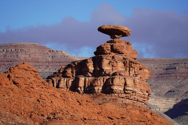
    This balancing rock is one of Utah's most unusual geological formations.

  • A wall of sandstone with a small opening

    Covington, Indiana

    Portland Arch

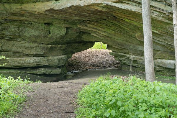
    One of Indiana's only natural sandstone arches is nestled between resort ruins and an old Boy Scouts camp.

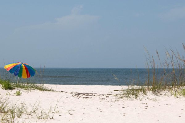
  • Johnson Beach, part of the Gulf Islands National Seashore.

    Pensacola, Florida

    Johnson Beach

    A pristine beach on the Gulf of Mexico with deep ties to Pensacola’s Black community.

  • Cascadia Soda Springs

    Cascadia, Oregon

    Cascadia Soda Springs

    Now a secluded county park, this site was once a "health tourism" destination for wealthy Oregonians.

Aerial image of Vietnam, displaying the picturesque rice terraces, characterized by their layered, verdant fields.
Atlas Obscura Membership

Become an Atlas Obscura Member


Join our community of curious explorers.

Become a Member

Get Our Email Newsletter

Follow Us

Facebook YouTube TikTok Instagram Pinterest RSS Feed

Get the app

Download the App
Download on the Apple App Store Get it on Google Play
  • All Places
  • Latest Places
  • Most Popular
  • Places to Eat
  • Random
  • Nearby
  • Add a Place
  • Stories
  • Food & Drink
  • Itineraries
  • Lists
  • Video
  • Podcast
  • Newsletters
  • All Trips
  • Family Trip
  • Food & Drink
  • History & Culture
  • Wildlife & Nature
  • FAQ
  • Membership
  • Feedback & Ideas
  • Community Guidelines
  • Product Blog
  • Unique Gifts
  • Work With Us
  • About
  • FAQ
  • Advertise With Us
  • Advertising Guidelines
  • Privacy Policy
  • Cookie Policy
  • Terms of Use
Atlas Obscura

© 2025 Atlas Obscura. All Rights Reserved.