Mount Rogers
The highest point in Virginia can only be reached by passing through ponies and flowers.
Feral ponies and an immaculate forest await hikers atop Mount Rogers, the highest point in Virginia at 5,729 feet above sea level.
The mountain itself is named after William Barton Rogers, Virginia’s first State Geologist and later, the founder of MIT. The standard route to the summit starts from the parking lot in Massie Gap in Grayson Highlands State Park, and winds four miles up, mostly using the Appalachian Trail.
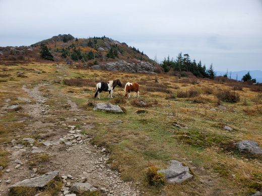
On the first part of the hike visitors have a good chance to see the famous ponies that were introduced to the park. This community of feral ponies, which is kept to a reasonable number of 120, keep the wild grasses manageable. To prevent overcrowding and grass depletion, each September excess ponies are rounded up and auctioned off at the Grayson Highland Fall Fest. The ponies are comfortable around humans and may even approach them, but if one has a foal nearby they may be protective.
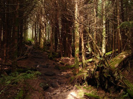
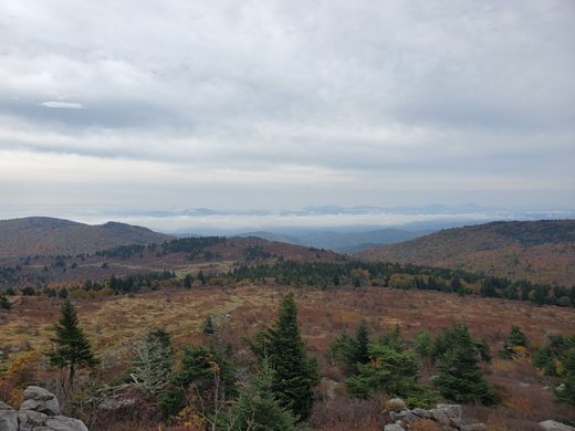
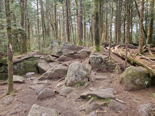
The Appalachian Trail that leads to the high point also runs through Rhododendron Gap with some great views of dense flowering bushes before meeting the Mount Rogers Trail to the summit. A dense spruce-fir forest, the northernmost of its kind, surrounds the summit with moss-covered trees. Some Fraser fir also grows here and while the balsam woolly adelphid has infested the area, the dead trees aren’t there to the degree that they are ar Clingmans Dome further south. The dense forest obscures any view from the summit, but the peak is a magnificent end to a long hike.
Know Before You Go
From the parking area in Massie Gap in Grayson Highlands State Park, hike up the Rhododendron Trail, then the Appalachian Trail, then the Mount Rogers Trail to the summit. Total distance is 4 miles one-way.












Follow us on Twitter to get the latest on the world's hidden wonders.
Like us on Facebook to get the latest on the world's hidden wonders.
Follow us on Twitter Like us on Facebook