
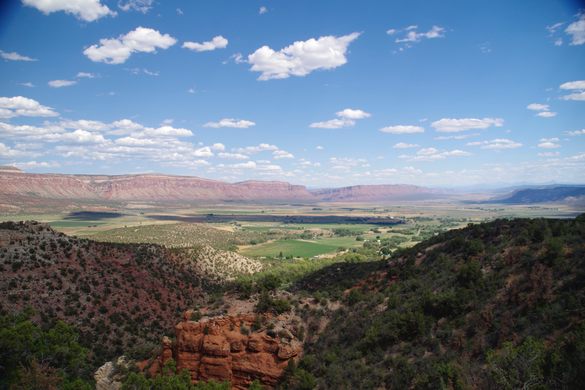
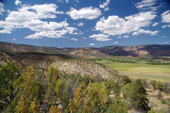
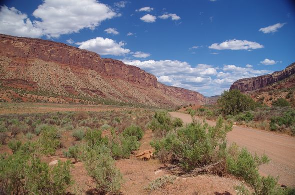
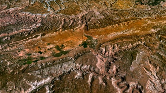
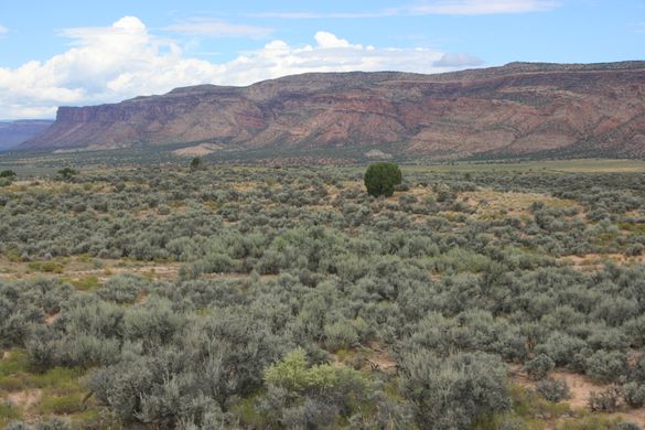
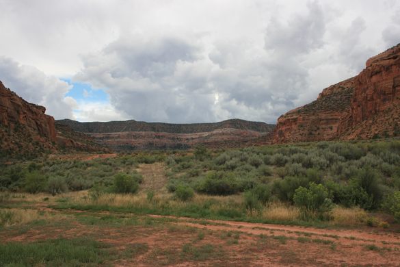
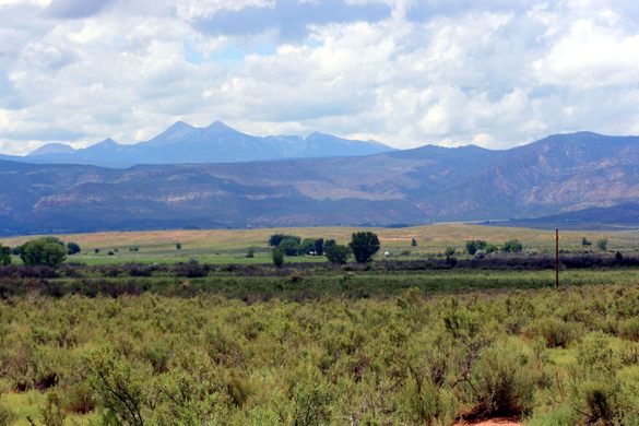

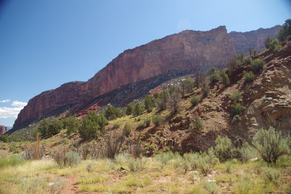
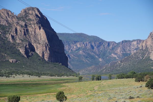
Ringed by high sandstone walls, the paradox of Paradox Valley is that the Dolores River takes a seemingly impossible path, flowing perpendicularly across the middle of the valley instead of the normal route down its length. The valley is 25 miles long from north to south, but the river runs about 3 to 5 miles across the basin from west to east, cutting through the thousand-foot-tall canyon walls on either side.
This unusual place formed when a geological fold pushed up a salt dome under the Dolores River. The salt dome was infiltrated with groundwater and the salt dissolved, leading the dome to collapse into the void that was left. The river became so deeply entrenched in the resulting basin over the years that the path of least resistance was to flow across the valley rather than down it, and so it remains today.
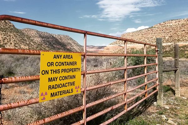
Salt still exists under the valley floor and provides a significant contribution to the salinity of the Dolores River and the Colorado River into which the Dolores eventually flows. Natural brine seeps of up to seven times the salinity of seawater (about 20 percent salt) flow into the Dolores, adding as much as 100,000 to 200,000 tons of salt annually to the river. As part of a long term effort to reduce the overall salinity of the Colorado River system, wells have been drilled to about 40 feet of depth and the brine is pumped out and sent to an injection well on the other side of the valley. The brine is then injected into a 14,000 foot deep well at high pressure, below an impermeable shale layer to keep it from welling back up into the salt dome.
The injection and extraction system has been in operation since the 1980s, and some studies have shown it to be quite effective at removing salt that would have normally reached the river. A consequence of the injection, however, is that it has caused a cluster of 3 to 5 Richter scale earthquakes throughout the Four Corners area.
Know Before You Go
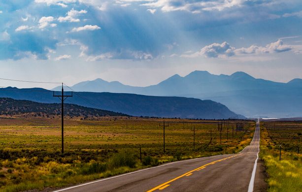
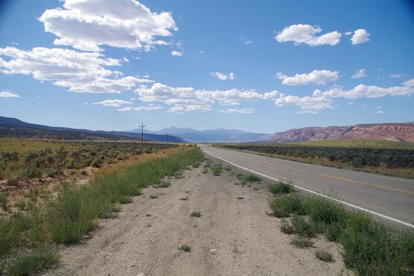
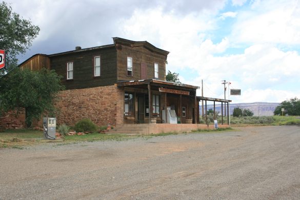
Colorado 90 follows the valley south from Naturita, Colorado, or north from La Sal, Utah. Montrose County Road, Y11, follows the course of the Delores River from Bedrock, Colorado, to Colorado 141 near Uravan.


Follow us on Twitter to get the latest on the world's hidden wonders.
Like us on Facebook to get the latest on the world's hidden wonders.
Follow us on Twitter Like us on Facebook